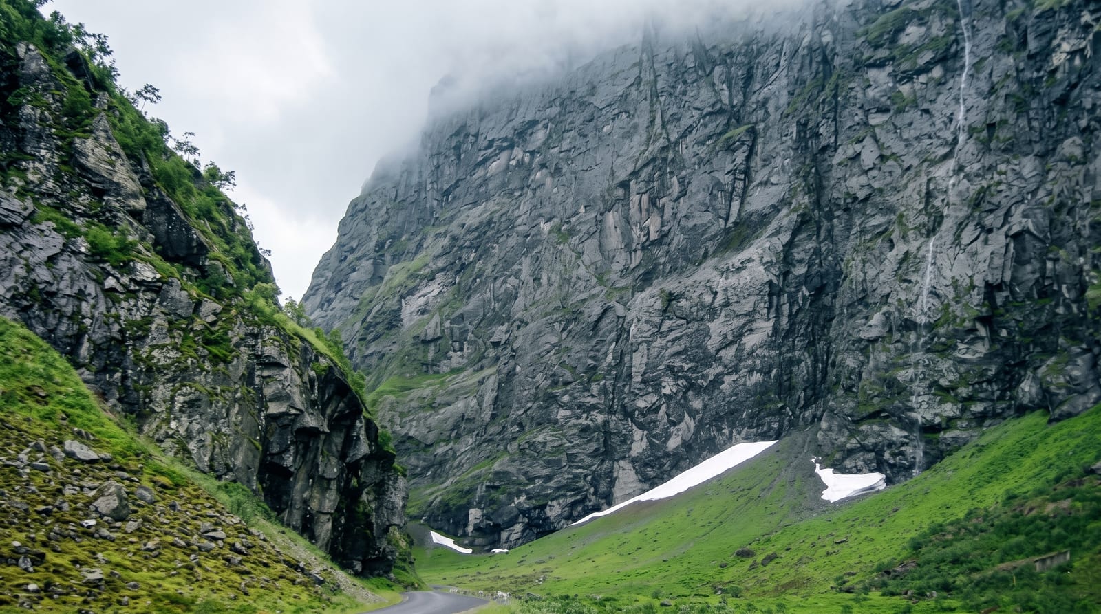
Kumrat Valley
A valley of enormous deodar cedars and river meadows in Upper Dir, opened to visitors only in the last decade.
Updated 31 August 2026
Kumrat runs north from Thal in Upper Dir, and what makes it different from the better-known Swat valleys is the forest: stands of deodar cedar that were never fully logged, some of the trees enormous and centuries old, growing right down to the braided river. The valley floor holds open meadows where the Panjkora river spreads over white stones, and camping among the cedars on those meadows is the main thing people come to do, with tent villages appearing each summer. Higher up, jeep tracks and walking routes lead to the Kala Chashma spring, the Jahaz Banda meadow reached over a pass, and Katora Lake beyond it, a hard day's walk that rewards with a cirque lake under rock walls. The valley was effectively off the map until roads improved in the 2010s, and its infrastructure is still catching up with its popularity.
What you'll find
- Deodar forest - old cedar stands running down to the river.
- River meadows - camping grounds on the braided Panjkora.
- Jahaz Banda - a high meadow reached by a walking route over a ridge.
- Katora Lake - a cirque lake beyond Jahaz Banda, a long day's walk.
When to go
May to October. June and September are the sweet spots; July and August fill the meadows with campers from the plains. Snow closes the upper valley from November. The road can be cut by landslides after heavy rain at any time.
Practical notes
The jeep track beyond Thal is rough and slow, and ordinary cars cannot make it. Camping facilities are informal, with variable hygiene and rising litter on the popular meadows. Katora Lake is a serious walk, not a stroll, and people underestimate it. Mobile coverage is minimal.
Nearby
Dir town lies south; the Swat valley is over the ridges to the east.
Key facts
Source: Wikidata, item Q20728685, read on 18 October 2026.
What to pack for Kumrat Valley
Chosen from what this place is for. Tap a kit for the full checklist.
- Broken-in walking shoes or boots - Grip and ankle support matter more than looks; never hike in brand-new boots. Find on Amazon
- Warm base layers - Merino or synthetic against the skin - never cotton, which chills when damp. Find on Amazon
- Shelter suited to the place - Tent, tarp or hut booking - match it to the terrain and rules. Find on Amazon
- Layers + a waterproof shell - Mountain weather turns fast; a packable rain jacket saves the day. Find on Amazon
Some links on this page are Amazon affiliate links - if you buy through them we may earn a small commission at no extra cost to you.
All packing kitsPlan your trip
Where to start if Kumrat Valley is going on the list.
Booking links on this page are affiliate links - if you book through them we may earn a small commission at no extra cost to you. It never changes what we write about a place.
Opening times, ticket prices and seasonal closures change - check the official source before you go: official site.