Nyksund
A fishing village abandoned in the 1970s and gradually brought back to life by artists and incomers.
Updated 21 October 2026
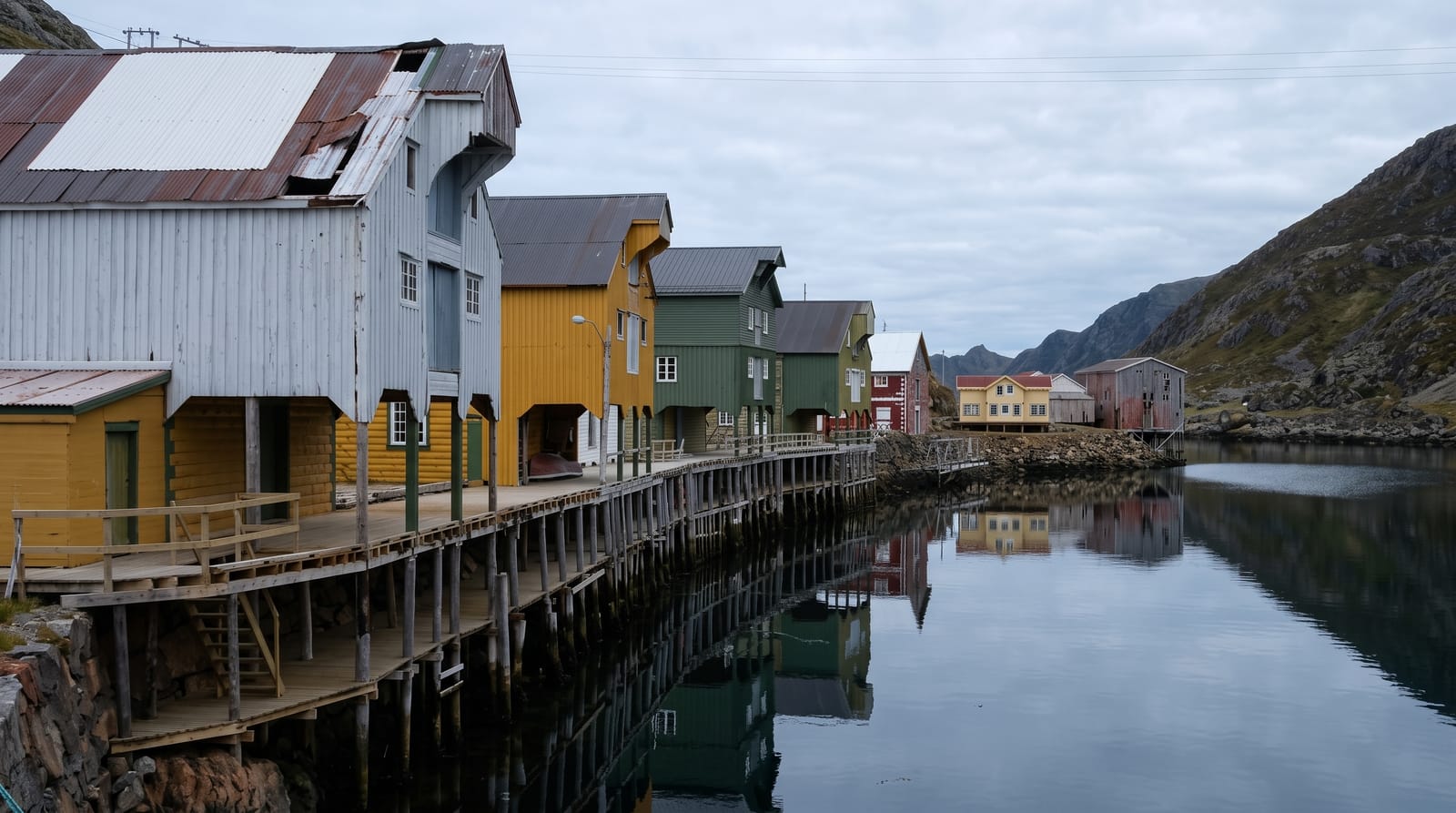
AI illustration
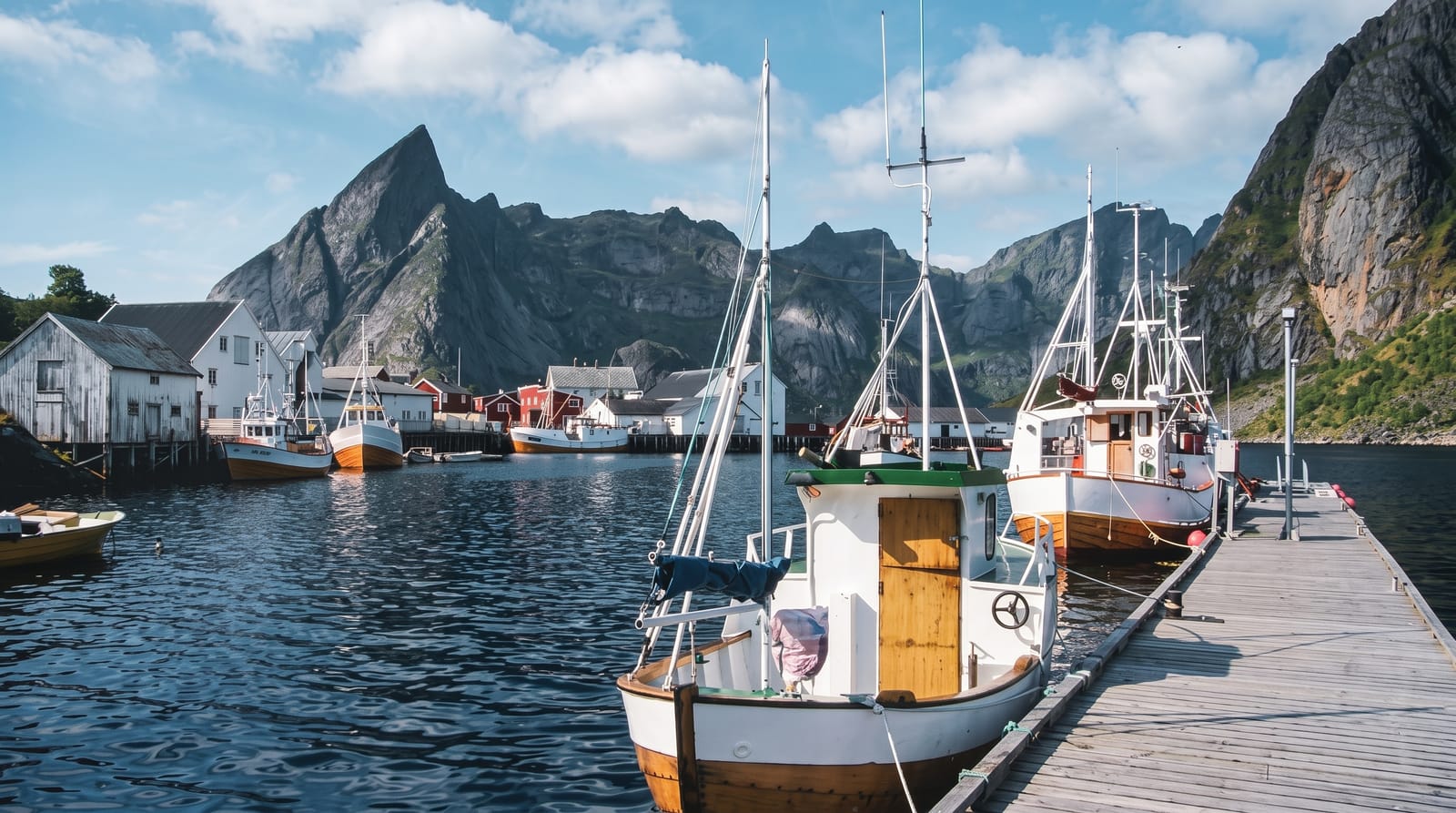
Nyksund was built on a pair of rock islets on the outer coast of Langoya and grew through the nineteenth century into a substantial fishing station, but its harbour was too small and too exposed for the larger boats that came after the war; the school closed, the people left, and by the mid-1970s it was empty, the buildings collapsing into the sea. From the 1980s it was gradually resettled, first through a German-Norwegian youth project and then by artists, hostel keepers and small businesses, and today it has a handful of year-round residents, several places to stay and eat, and a mix of restored buildings and standing ruins. The Dronningruta hiking loop to Sto starts here.
History
People have lived here since before recorded history, but the population stayed small until the late 18th century, when commercial trade made Nyksund a centre for hundreds of fishermen working the rich cod fisheries nearby. Bigger vessels and road transport left its shallow harbour behind, and in the 1970s it became a ghost town; today 30 to 40 people live here in summer and about half a dozen through the winter (Wikipedia, Nyksund).
The main sights
- The restored buildings - houses and quays brought back from ruin.
- The remaining ruins - collapsed structures left as they were.
- The exposed harbour - the small basin that made the village unviable.
- The Dronningruta trailhead - the ridge and coast loop starting from the village.
When to go
June to September, when the guesthouses and cafes open and the Dronningruta is walkable; the village is very quiet in winter with almost nothing open. The road in is exposed and can be closed by storms.
Before you go
The access road is narrow, winding and cut into the shore, unsuitable for large vehicles. Facilities are few and seasonal. The village is small and can be walked in twenty minutes, with the hiking route the main reason to stay.
Nearby
Sto lies at the other end of the Dronningruta; Myre and the Vesteralen roads are inland.
Key facts
Source: Wikidata, item Q1011569, read on 18 October 2026.
What to pack for Nyksund
Chosen from what this place is for. Tap a kit for the full checklist.
- Broken-in walking shoes or boots - Grip and ankle support matter more than looks; never hike in brand-new boots. Find on Amazon
- Travel rod + reel - A packable multi-piece rod fits in a case and covers most holiday fishing. Find on Amazon
- Comfortable walking shoes - Sightseeing means kilometres of pavement and cobbles daily. Find on Amazon
- Layers + a waterproof shell - Mountain weather turns fast; a packable rain jacket saves the day. Find on Amazon
Some links on this page are Amazon affiliate links - if you buy through them we may earn a small commission at no extra cost to you.
All packing kitsPlan your trip
Where to start if Nyksund is going on the list.
Booking links on this page are affiliate links - if you book through them we may earn a small commission at no extra cost to you. It never changes what we write about a place.
Opening times, ticket prices and seasonal closures change - check the official source before you go: official site.