Lygnstoylvatnet
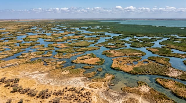
A lake formed by a 1908 rockslide, with the old road, bridge and farm walls still visible under the clear water.
Updated 4 September 2026

AI illustration
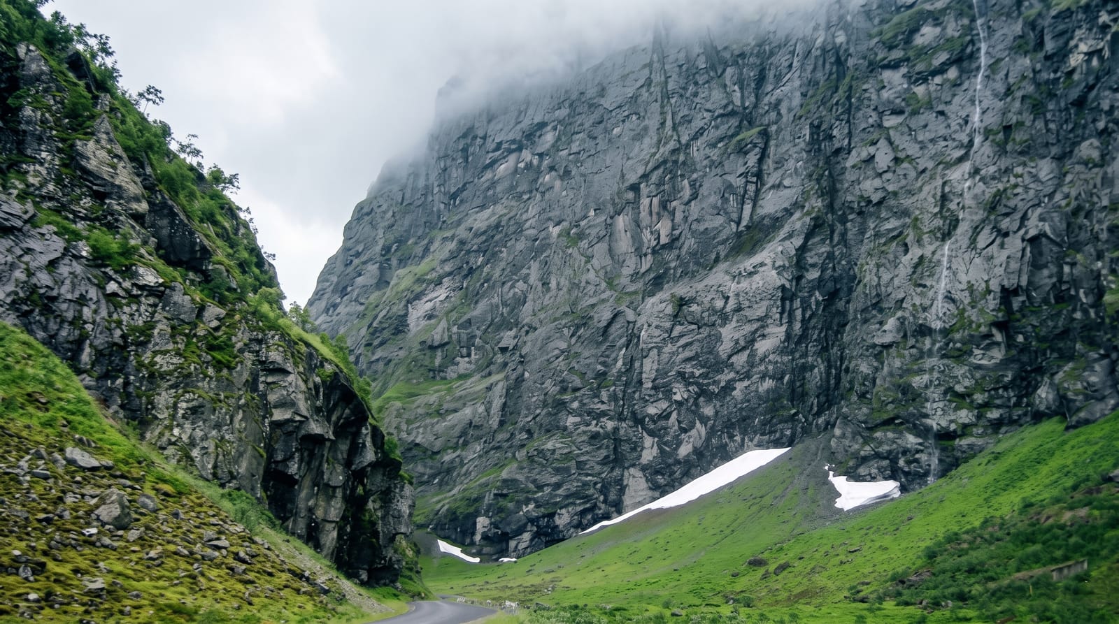
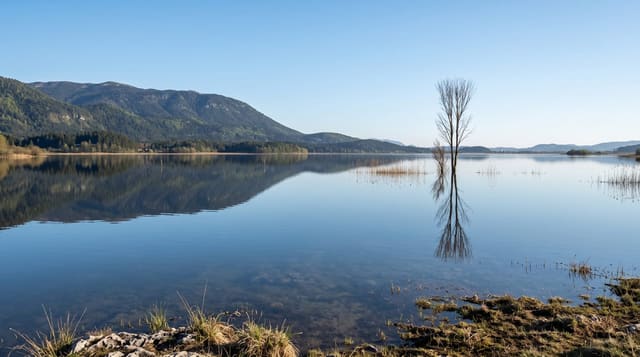
In 1908 a rockslide came down the side of Norangsdalen and blocked the river, and the water backed up over the valley floor, drowning the summer farm at Lygnstoyl along with the road and its stone bridge. The lake that formed is shallow and exceptionally clear, and the submerged structures are still there: dry stone walls, the line of the old road, and the bridge arch, all visible from the shore on a calm day and popular with divers and snorkellers in summer. New scree from the same slopes continues to reshape the valley. The lake sits directly beside the current road with a small parking area, so seeing it takes minutes, though the clarity depends entirely on light and wind.
What's there
- The submerged farm - stone walls of the drowned summer farm.
- The old road and bridge - the buried route visible through the water.
- The clear shallow water - visibility good enough to see the structures.
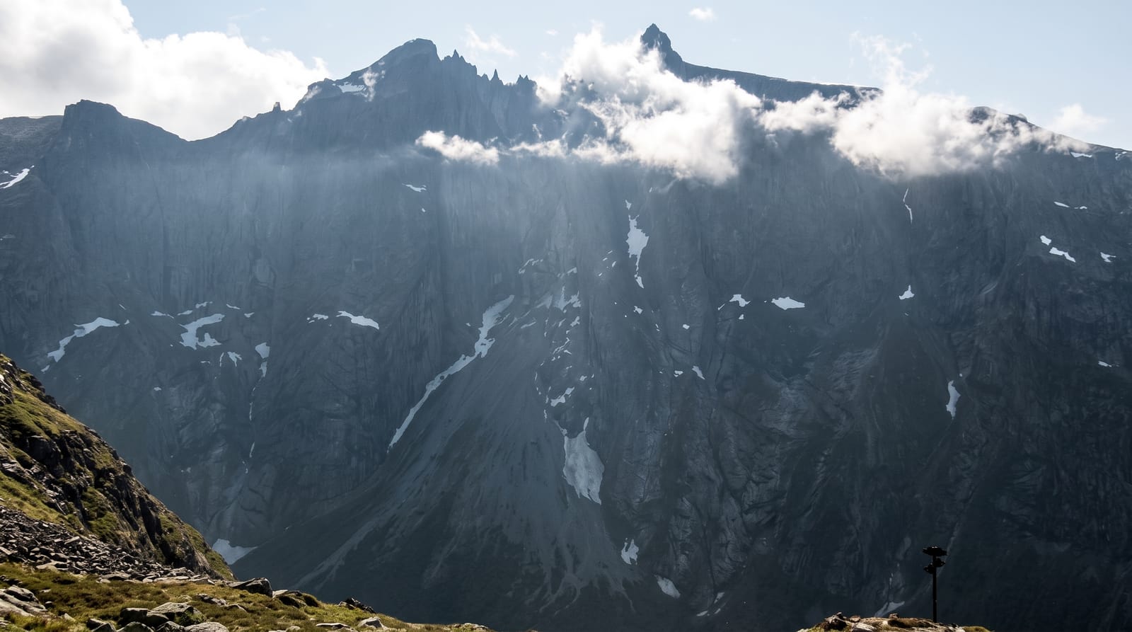
- The scree slopes - the unstable walls that caused the slide.
When to go
June to September, when the road is open; calm, bright days give the best visibility into the water, and wind or rain makes the ruins invisible. Divers use it through the summer months.
Things to know
Visibility varies a great deal and many visitors see little more than a lake. The water is very cold for swimming or snorkelling. Parking is a small roadside area on a narrow valley road.
Nearby
Norangsdalen runs the length of the valley; Oye and the Hjorundfjord lie west, Hellesylt east.
What to pack for Lygnstoylvatnet
Chosen from what this place is for. Tap a kit for the full checklist.
- Reef-safe sunscreen - High SPF that will not bleach the coral you are swimming over. Find on Amazon
- Your own mask + snorkel - A well-fitting mask is the single biggest comfort upgrade underwater. Find on Amazon
- Quick-dry towel - A microfibre towel packs small and dries in minutes. Find on Amazon
- Rash guard or thin wetsuit - Sun cover on the surface and warmth on longer or deeper dives. Find on Amazon
Some links on this page are Amazon affiliate links - if you buy through them we may earn a small commission at no extra cost to you.
All packing kitsPlan your trip
Where to start if Lygnstoylvatnet is going on the list.
Booking links on this page are affiliate links - if you book through them we may earn a small commission at no extra cost to you. It never changes what we write about a place.
Opening times, ticket prices and seasonal closures change - check the official source before you go: official site.