Hornindalsvatnet
The deepest lake in Europe at 514 metres, its floor lying far below sea level between Nordfjord mountains.
Updated 21 October 2026
AI illustration
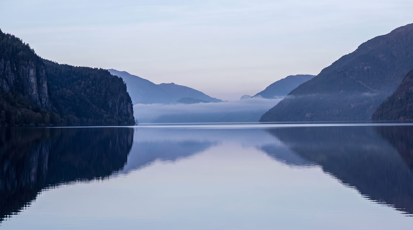
Hornindalsvatnet reaches 514 metres at its deepest point, which makes it the deepest lake in Europe, and since its surface sits only about fifty metres above sea level the bottom lies more than four hundred and fifty metres below it, carved by ice that pushed far beyond the present coast. The water is exceptionally clear and cold, blue-black in colour, about twenty-two kilometres long and rarely more than two wide, with roads on both shores and small farming settlements along them. The Hornindal marathon runs around it each July, and the village of Hornindal at the eastern end holds a well-known collection of rose-painted folk art.
The landscape
- The dark clear water - exceptional visibility over enormous depth.
- The shore roads - drives along both sides with viewpoints.
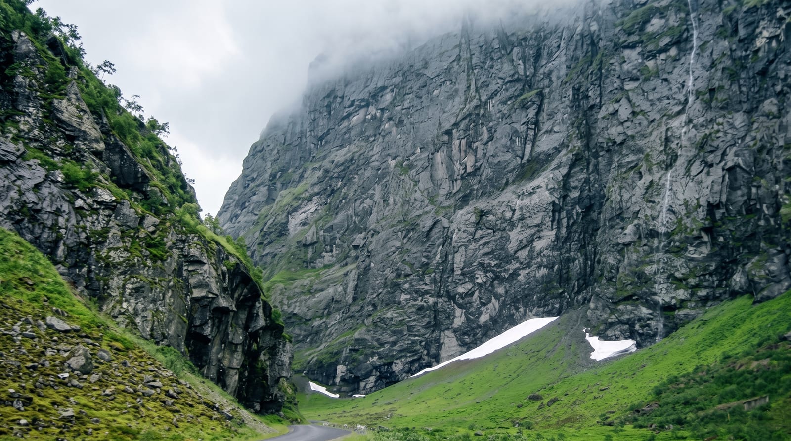
- The lake basin - steep sides showing how deep the ice cut.
- Hornindal village - folk art and rose painting at the eastern end.
When to go
June to September for driving, walking and the occasional very cold swim; the marathon in July fills local accommodation. Autumn brings colour to the birch slopes. Winter roads are cleared but conditions vary.
Things to know
The depth is a statistic rather than a sight, and visually the lake reads as a long attractive fjord-like body of water rather than something extraordinary. Facilities along the shore are limited to a few campsites and cafes. Swimming is possible but the water stays very cold all year.
Nearby
Nordfjordeid lies west with its Viking ship museum; Stryn and the Nordfjord head are southeast.
Key facts
Source: Wikidata, item Q200003, read on 18 October 2026.
What to pack for Hornindalsvatnet
Chosen from what this place is for. Tap a kit for the full checklist.
- Reef-safe sunscreen - High SPF that will not bleach the coral you are swimming over. Find on Amazon
- Shelter suited to the place - Tent, tarp or hut booking - match it to the terrain and rules. Find on Amazon
- Quick-dry towel - A microfibre towel packs small and dries in minutes. Find on Amazon
- A warm sleeping bag + mat - Rated a little colder than you expect the nights to be. Find on Amazon
Some links on this page are Amazon affiliate links - if you buy through them we may earn a small commission at no extra cost to you.
All packing kitsPlan your trip
Where to start if Hornindalsvatnet is going on the list.
Booking links on this page are affiliate links - if you book through them we may earn a small commission at no extra cost to you. It never changes what we write about a place.
Opening times, ticket prices and seasonal closures change - check the official source before you go: official site.