Gaustatoppen
Telemark's highest peak at 1,883 metres, with a view claimed to cover a sixth of Norway and a railway inside the mountain.
Updated 4 September 2026
AI illustration
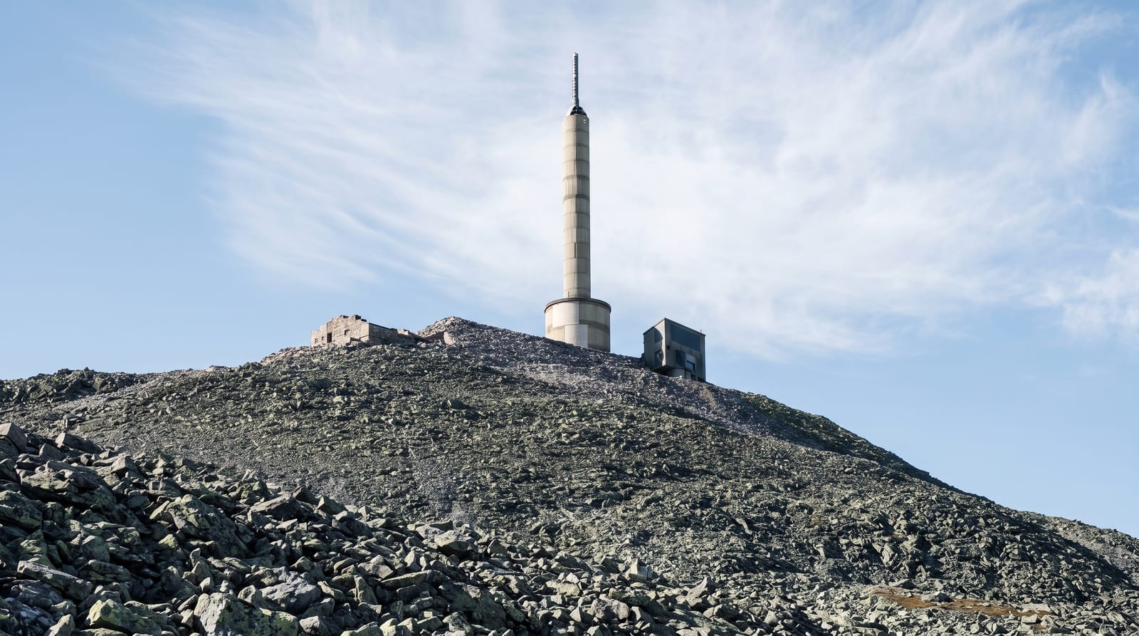
Gaustatoppen stands alone above the Telemark plateau, which is why the view from the top is so wide: on a genuinely clear day it is said to take in about a sixth of the Norwegian mainland, from the North Sea coast to Jotunheimen, though such days are rare. The walk from Stavsro takes about two hours up over boulder and scree, a steady climb with no technical difficulty but rough footing throughout. Inside the mountain runs the Gaustabanen, a funicular built in the 1950s for a military installation and opened to the public in 2010: a tram through a horizontal tunnel and then a cable car up a shaft, emerging just below the summit. A stone tourist lodge sits on the top.
What's there
- The summit panorama - a claimed view over a sixth of Norway.
- The boulder path - a two-hour climb over rough scree from Stavsro.
- The Gaustabanen - a railway running inside the mountain to near the top.
- The stone lodge - a hut on the summit serving refreshments in season.
When to go
June to September for walking, when the path is clear; the railway operates on a seasonal schedule. Truly clear days are uncommon, so flexibility helps. Winter ascents need full equipment.
What to expect
The path is entirely on loose boulders and is hard on ankles both up and down. Cloud sits on the summit frequently and removes the view. The mountain railway is expensive and its schedule limited, and it can queue in season.
Nearby
Rjukan, on the UNESCO industrial heritage list, lies below; Hardangervidda spreads north.
Key facts
Source: Wikidata, item Q1496308, read on 18 October 2026.
What to pack for Gaustatoppen
Chosen from what this place is for. Tap a kit for the full checklist.
- Broken-in walking shoes or boots - Grip and ankle support matter more than looks; never hike in brand-new boots. Find on Amazon
- Layers for big temperature swings - Warm sun by day, near-freezing at night, even near the equator. Find on Amazon
- Shelter suited to the place - Tent, tarp or hut booking - match it to the terrain and rules. Find on Amazon
- Layers + a waterproof shell - Mountain weather turns fast; a packable rain jacket saves the day. Find on Amazon
Some links on this page are Amazon affiliate links - if you buy through them we may earn a small commission at no extra cost to you.
All packing kitsPlan your trip
Where to start if Gaustatoppen is going on the list.
Booking links on this page are affiliate links - if you book through them we may earn a small commission at no extra cost to you. It never changes what we write about a place.
Opening times, ticket prices and seasonal closures change - check the official source before you go: official site.


