Duncombe Bay
The north coast bay below Captain Cook's landing point, backed by high cliffs.
Updated 3 September 2026
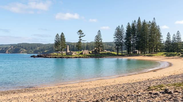
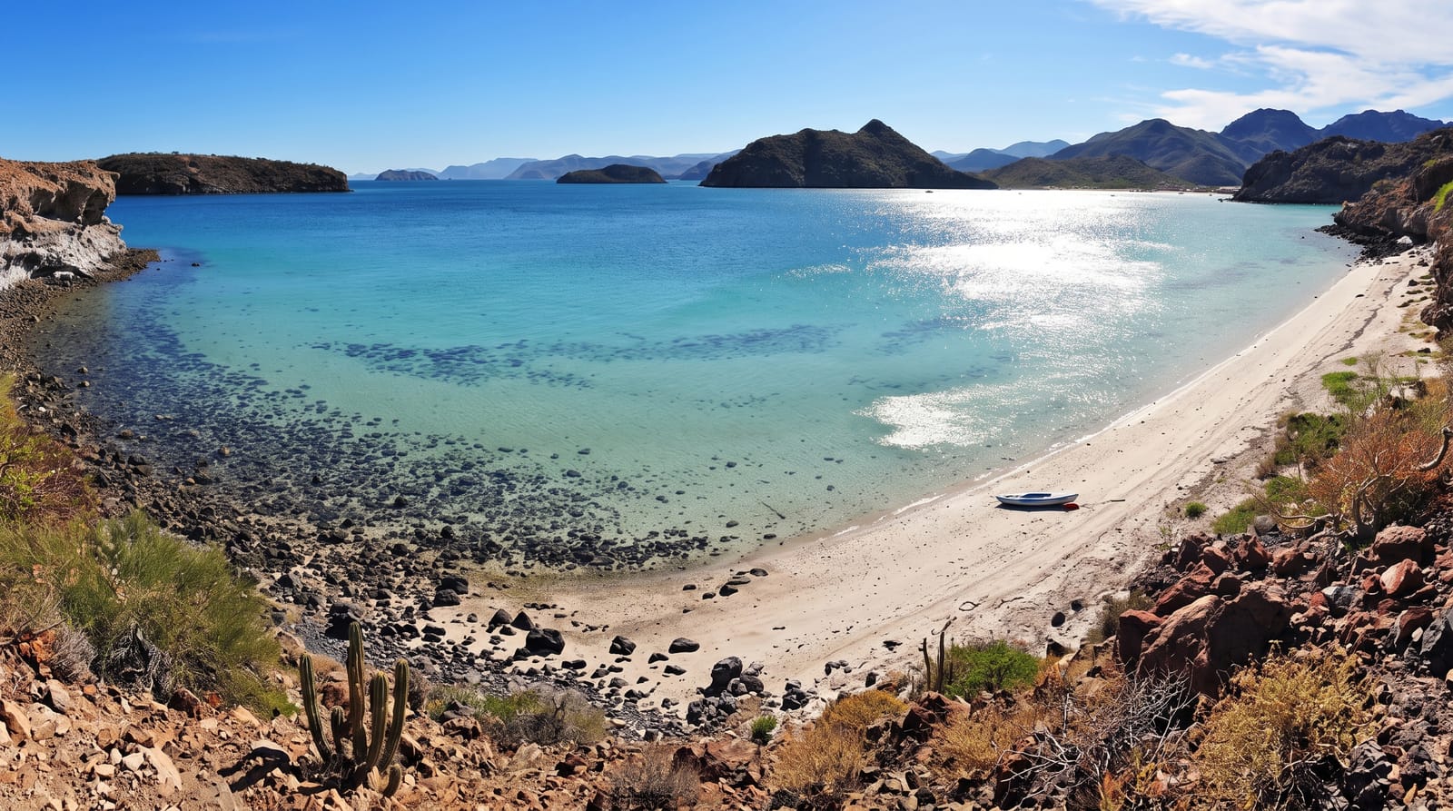
Duncombe Bay is the opening in the north coast below the point where Cook came ashore in 1774, a rocky bay with high cliffs on both sides and the north face of Mount Pitt rising behind it. The track down from the reserve above is steep and rough. Norfolk pines stand along the cliff edge and the water is deep close in, with nothing but ocean beyond. The bay takes the full weight of any northerly weather, and the sea inside it is rarely still.
The landscape
- The cliffs - high walls closing both sides of the bay.
- The Cook landing ground - the shore below the 1774 arrival point.
- The pines - Norfolk pines along the cliff edge above.
- The open north - deep water and nothing beyond it.
When to go
September to May is warmer. The bay is exposed to northerly swell. The track is slippery after rain.
What to expect
The track down is steep and eroded and the bay is rocky rather than a beach. Swimming is not advisable. There is no shade or facility at the bottom.
Nearby
Captain Cook Lookout is above, and Anson Bay is west.
Key facts
Source: Wikidata, item Q33575702, read on 18 October 2026.
What to pack for Duncombe Bay
Chosen from what this place is for. Tap a kit for the full checklist.
- Broken-in walking shoes or boots - Grip and ankle support matter more than looks; never hike in brand-new boots. Find on Amazon
- Reef-safe sunscreen - High SPF that will not bleach the coral you are swimming over. Find on Amazon
- Layers + a waterproof shell - Mountain weather turns fast; a packable rain jacket saves the day. Find on Amazon
- Quick-dry towel - A microfibre towel packs small and dries in minutes. Find on Amazon
Some links on this page are Amazon affiliate links - if you buy through them we may earn a small commission at no extra cost to you.
All packing kitsPlan your trip
Where to start if Duncombe Bay is going on the list.
Booking links on this page are affiliate links - if you book through them we may earn a small commission at no extra cost to you. It never changes what we write about a place.
Opening times, ticket prices and seasonal closures change - check the official source before you go: official site.