Shine Falls
Hawke's Bay's tallest waterfall at 58 metres, reached across working farmland that closes for lambing.
Updated 27 August 2026
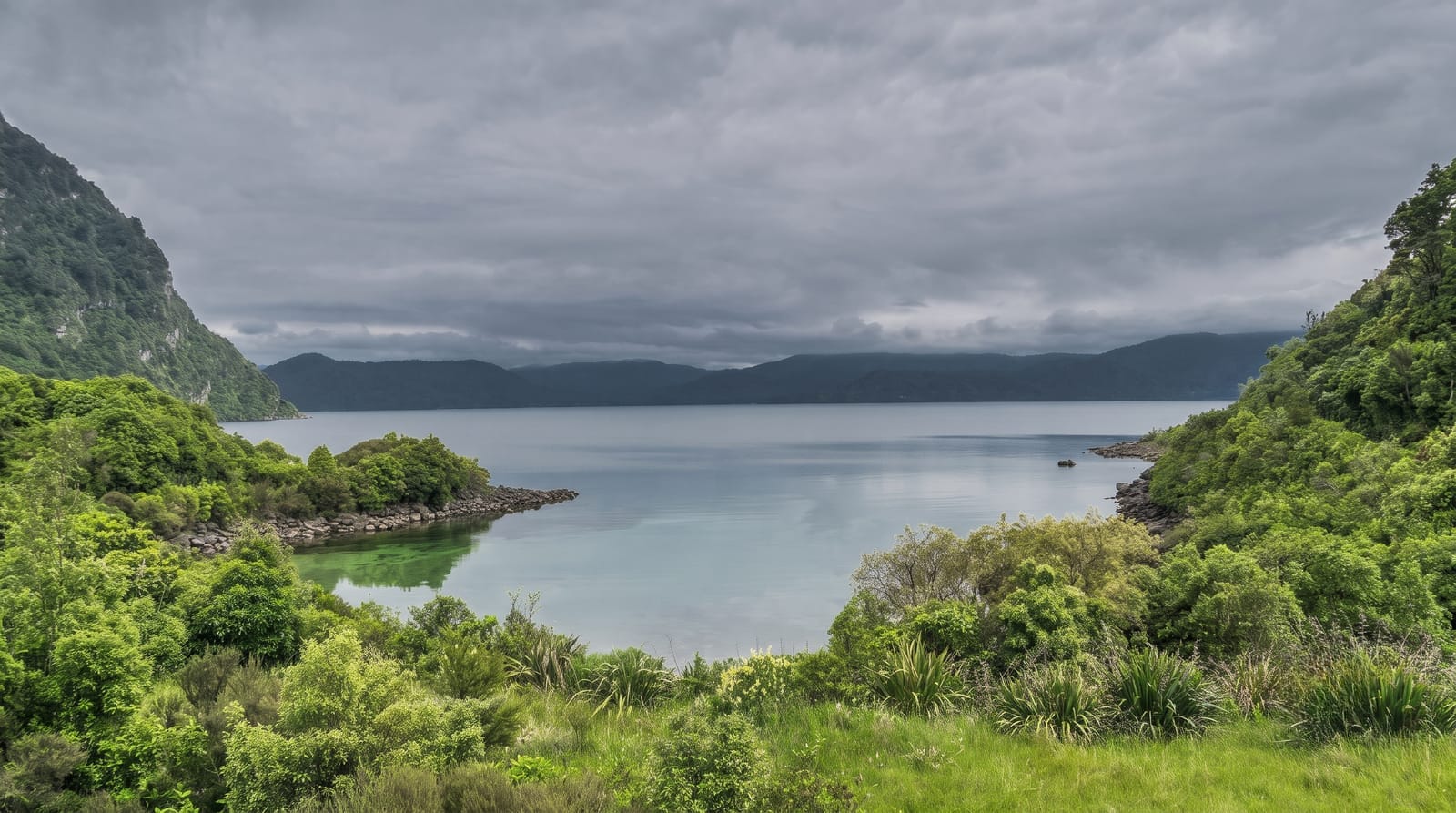
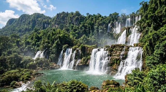
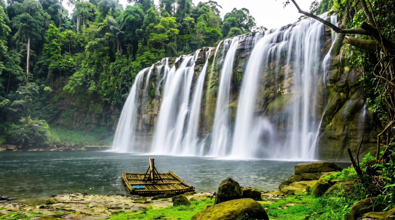
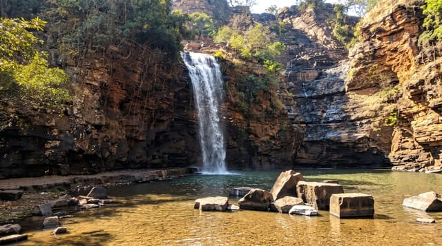
AI illustration
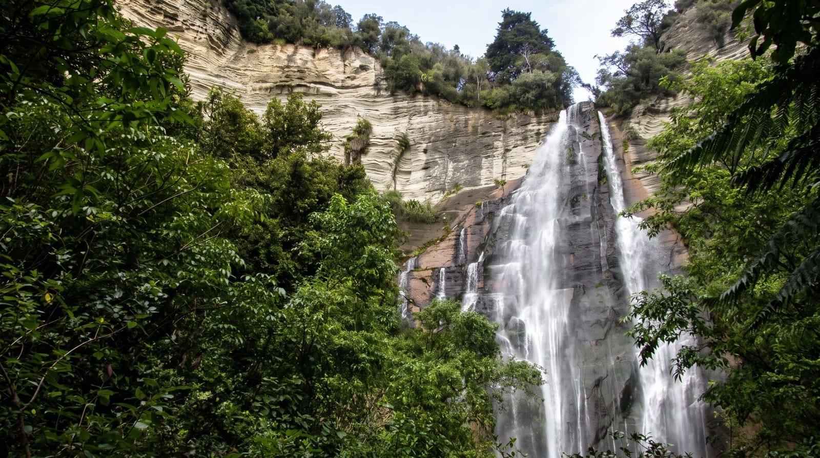
Shine Falls drops fifty-eight metres over a papa and limestone bluff into a bowl of bush at the edge of the Boundary Stream Mainland Island - a DOC reserve where sustained predator control has brought back kokako, kaka and North Island brown kiwi to a forest that had lost them. The walk is about an hour each way, starting across open farmland with stock in the paddocks and stiles to climb, then dropping into bush along the stream to the base of the fall. Two things catch people out. The farmland section is closed for lambing, usually through August and September, and the closure is enforced. And the access roads are unsealed, narrow and slow, so the drive takes longer than a map suggests. At the base the fall lands in a shallow pool with a lot of spray. The reserve is one of the better places in Hawke's Bay to hear forest birds, particularly early.
What you'll find
- The 58-metre fall - the tallest in Hawke's Bay, over papa and limestone.
- The farmland crossing - stiles, stock and open paddocks.
- The Boundary Stream reserve - kokako and kaka, brought back by trapping.
- The bush descent - the second half, along the stream.
When to go
November to April. The track is closed for lambing, generally August to September - check before driving out. Mornings for birdsong.
Practical notes
Access roads are unsealed and slow. The first half is exposed farmland with no shade and livestock present. The lambing closure is real and signposted. No facilities at the car park.
Nearby
Lake Tutira is on the way in; Napier is an hour south-east.
Key facts
Source: Wikidata, item Q25379776, read on 18 October 2026.
What to pack for Shine Falls
Chosen from what this place is for. Tap a kit for the full checklist.
- Broken-in walking shoes or boots - Grip and ankle support matter more than looks; never hike in brand-new boots. Find on Amazon
- Layers + a waterproof shell - Mountain weather turns fast; a packable rain jacket saves the day. Find on Amazon
- Daypack with rain cover - 20-30 litres holds water, snacks, layers and a first-aid kit. Find on Amazon
- Offline maps + a power bank - Download the trail before you lose signal; carry backup charge. Find on Amazon
Some links on this page are Amazon affiliate links - if you buy through them we may earn a small commission at no extra cost to you.
All packing kitsPlan your trip
Where to start if Shine Falls is going on the list.
Booking links on this page are affiliate links - if you book through them we may earn a small commission at no extra cost to you. It never changes what we write about a place.
Opening times, ticket prices and seasonal closures change - check the official source before you go: official site.