Lake Manapouri
A lake of drowned valleys and thirty-odd islands, saved from being raised by the largest petition in the country's history.
Updated 21 October 2026
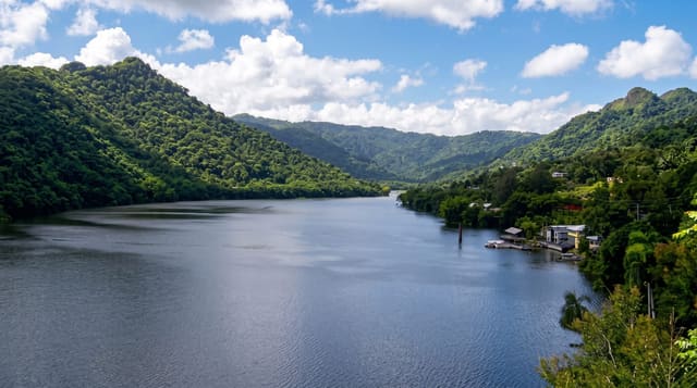
Manapouri is deep - its floor lies well below sea level - and irregular, with several arms reaching into the mountains and thirty-three islands, twenty-two of them wooded. In 1970 a petition against a plan to raise the lake by up to thirty metres for the Manapouri power scheme was signed by 264,907 people, almost a tenth of the population; the lake was not raised, and the campaign is usually treated as the start of the modern conservation movement here. The power station was built underground instead. Boats cross to West Arm for Doubtful Sound trips and to the Kepler and Dusky track ends. Sandflies at the shore are severe.
The landscape
- The drowned arms - valleys flooded into a many-fingered lake.
- The islands - thirty-three of them, twenty-two wooded.
- The West Arm crossing - the boat route toward Doubtful Sound.
- The underground power station - the compromise that saved the level.
When to go
October to April. Boat trips to Doubtful Sound run year round but are weather-dependent. Still mornings give the reflections.
Good to know
Sandflies here are severe and constant. The village is tiny with minimal services. Doubtful Sound trips are long days and expensive. The lake is cold and deep - swimming is uncommon.
Nearby
Te Anau is north; Doubtful Sound is reached across the lake and over Wilmot Pass.
Key facts
Source: Wikidata, item Q1192384, read on 18 October 2026.
What to pack for Lake Manapouri
Chosen from what this place is for. Tap a kit for the full checklist.
- Reef-safe sunscreen - High SPF that will not bleach the coral you are swimming over. Find on Amazon
- Head torch + spare batteries - Hands-free light is essential; caves are truly dark. Find on Amazon
- Quick-dry towel - A microfibre towel packs small and dries in minutes. Find on Amazon
- Grippy closed shoes - Cave floors are wet, muddy and slick with formations. Find on Amazon
Some links on this page are Amazon affiliate links - if you buy through them we may earn a small commission at no extra cost to you.
All packing kitsPlan your trip
Where to start if Lake Manapouri is going on the list.
Booking links on this page are affiliate links - if you book through them we may earn a small commission at no extra cost to you. It never changes what we write about a place.
Opening times, ticket prices and seasonal closures change - check the official source before you go: official site.