Utrecht Old Town
A canal with wharves and cellars a storey below street level, an arrangement built nowhere else.
Updated 29 August 2026
The Oudegracht runs through the middle of Utrecht at a level well below the street, and along both sides at water level runs a continuous wharf with cellars cut back under the houses and the road above - the werven and werfkelders, built from the thirteenth century when the canal was deepened and merchants needed to unload directly into storage beneath their houses. Nothing else in Europe is built quite this way, and the lower level is now cafes and terraces while the street runs above. The Dom tower is 112 metres and the tallest church tower in the country; its nave collapsed in a tornado in 1674 and was never rebuilt, so the tower stands separated from the choir by an open square, which is unique and immediately obvious. The medieval street plan survives around it, and Utrecht was the ecclesiastical centre of the Netherlands with four collegiate churches ringing the cathedral.
What to look for
- Wharves below street level - werven and cellars cut under the houses along the canal.
- The Dom tower - 112 metres, the tallest church tower in the country.
- A tower standing alone - the nave lost in the 1674 tornado and never rebuilt.
- A medieval ecclesiastical centre - collegiate churches ringing the cathedral site.
When to go
April to October. A day.
Things to know
The Dom tower is climbed by guided tour only, timed and booked ahead, up 465 steps. Wharf terraces are packed in warm weather. The centre is busy and cycling traffic is heavy.
Nearby
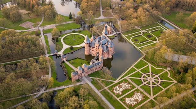
The Rietveld Schroder House is east; Kasteel de Haar is west.
What to pack for Utrecht Old Town
Chosen from what this place is for. Tap a kit for the full checklist.
- Padded shorts - The one thing that makes a full day in the saddle bearable. Find on Amazon
- Comfortable walking shoes - Sightseeing means kilometres of pavement and cobbles daily. Find on Amazon
- Modest clothing - Shoulders and knees covered - the single most common requirement. Find on Amazon
- Helmet - Bring your own if you have a good one; rentals vary wildly. Find on Amazon
Some links on this page are Amazon affiliate links - if you buy through them we may earn a small commission at no extra cost to you.
All packing kitsPlan your trip
Where to start if Utrecht Old Town is going on the list.
Booking links on this page are affiliate links - if you book through them we may earn a small commission at no extra cost to you. It never changes what we write about a place.
Opening times, ticket prices and seasonal closures change - check the official source before you go: official site.