Belmopan
A capital built inland from scratch in the 1970s after a hurricane, laid out on the plan of a Maya ceremonial centre.
Updated 18 October 2026
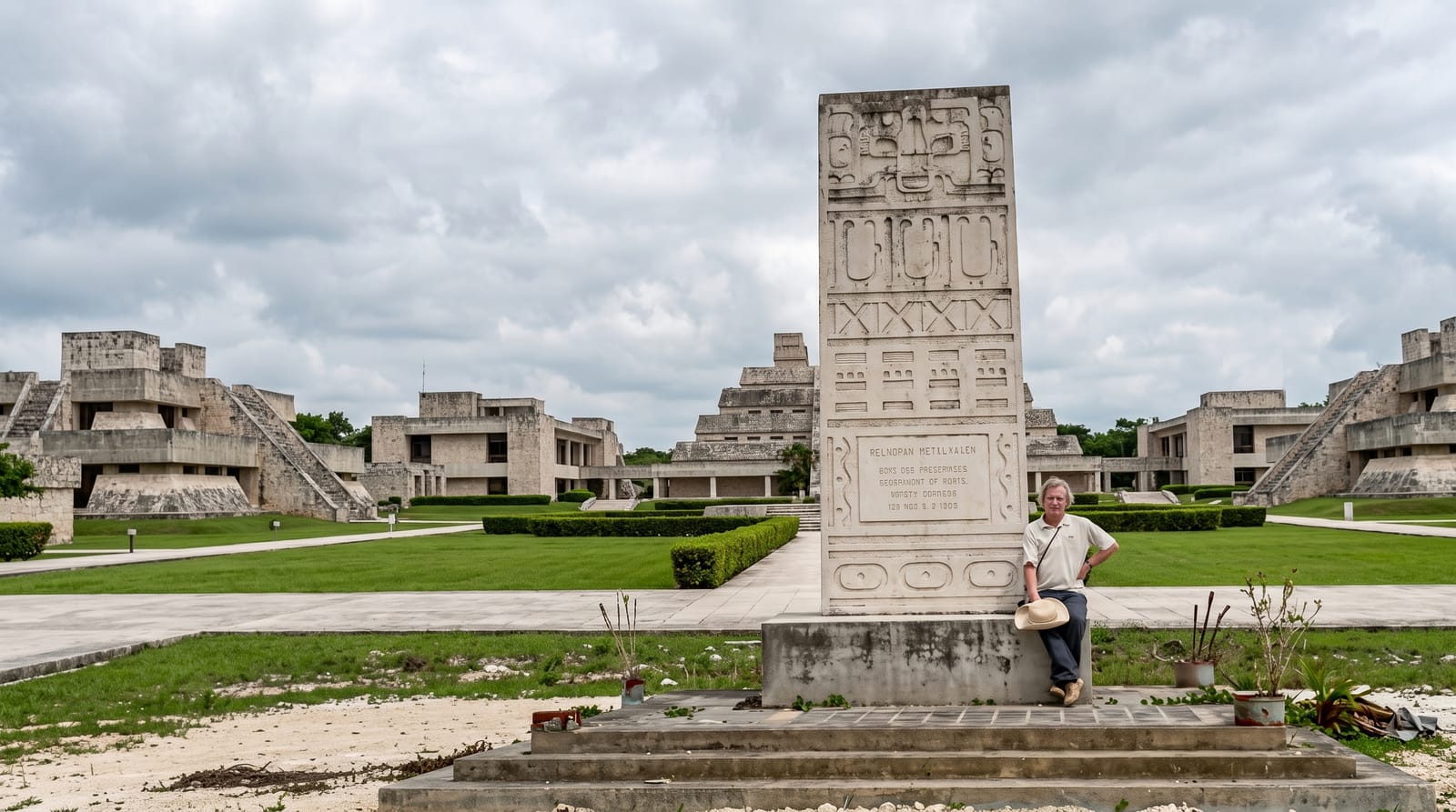
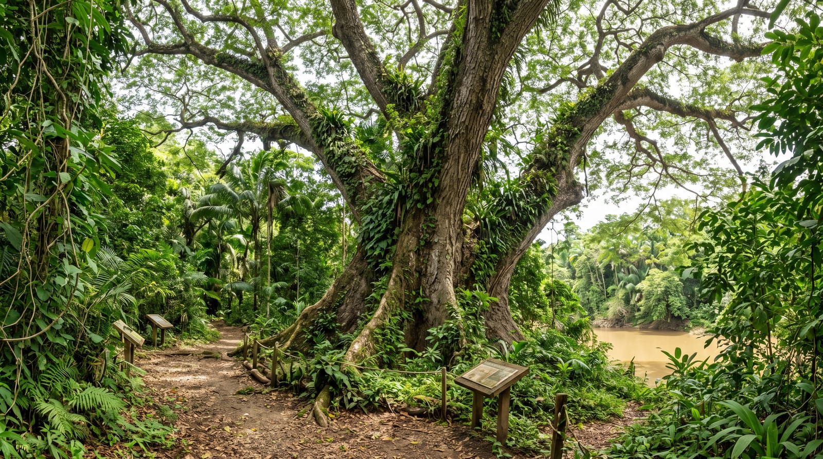
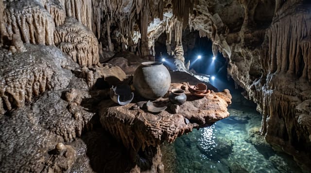
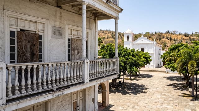
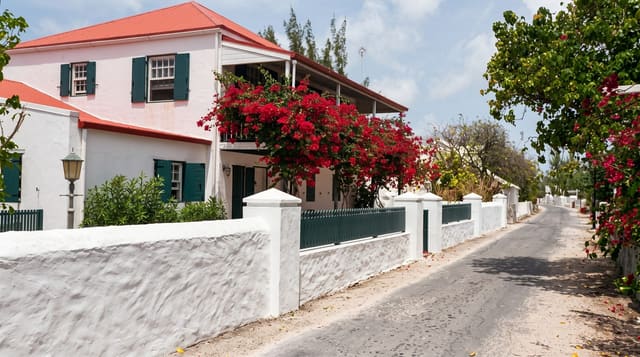
AI illustration
When Hurricane Hattie destroyed much of Belize City in 1961, the government decided to move the capital inland out of the storm surge zone, and Belmopan was built from nothing through the late 1960s, becoming the seat of government in 1970. The plan borrowed deliberately from Maya ceremonial architecture, with the main government buildings arranged around a plaza in a way meant to echo a site like Xunantunich, executed in the concrete brutalism of the period. It is small, green and very quiet, and it holds the national archives and the archaeology department's vault, where much of the country's Maya material is kept.
History
After Hurricane Hattie destroyed about three-quarters of the houses and businesses of Belize City in 1961, the government decided to build a new capital on safer ground, and in 1962 a committee chose the site of Belmopan, 82 kilometres inland. In 1964 Premier George Price led a delegation to London to seek funds, the Colonial Secretary Anthony Greenwood dedicated the site on 9 October 1965, and the government moved to the new planned city in 1970 (Wikipedia, Belmopan).
The main sights
- The government plaza - laid out on a Maya ceremonial plan in concrete.
- The archaeology vault - where the country's Maya finds are stored.
- The market - the town's most active corner, particularly on market days.
- The Guanacaste park - a small reserve at the junction outside town.
When to go
December to April is the dry season. Weekdays are when anything is open; the town is very quiet at weekends. Market days bring the surrounding villages in. Half a day covers it.
Good to know
There is very little to see: it is a small administrative town with almost no visitor infrastructure and the architecture is dated concrete that most people find unattractive. The archaeology vault is not generally open to the public. Most travellers pass through on the highway without stopping, which is reasonable.
Nearby
The Belize Zoo is half an hour east; San Ignacio is an hour west.
Key facts
Source: Wikidata, item Q3043, read on 18 October 2026.
What to pack for Belmopan
Chosen from what this place is for. Tap a kit for the full checklist.
- Comfortable walking shoes - Sightseeing means kilometres of pavement and cobbles daily. Find on Amazon
- A slim anti-theft daypack - Zips that close properly; keep it in front in crowds and on transit. Find on Amazon
- A refillable water bottle - Many cities have public fountains; save money and plastic. Find on Amazon
- A light layer + compact umbrella - For museum air-con and a sudden shower. Find on Amazon
Some links on this page are Amazon affiliate links - if you buy through them we may earn a small commission at no extra cost to you.
All packing kitsPlan your trip
Where to start if Belmopan is going on the list.
Booking links on this page are affiliate links - if you book through them we may earn a small commission at no extra cost to you. It never changes what we write about a place.
Opening times, ticket prices and seasonal closures change - check the official source before you go: official site.