Hkakabo Razi
A snow peak on the Tibetan border long described as Southeast Asia's highest, a claim the surveys no longer agree on.
Updated 1 September 2026
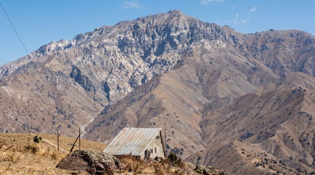
Hkakabo Razi stands at the northern tip of the country where Myanmar, India and Tibet meet, and it has been carried in atlases at 5,881 metres as the highest point in Southeast Asia since a survey in the 1920s. A 2013 expedition measured the neighbouring Gamlang Razi at a figure close enough to put the ranking in doubt, and later attempts on the summit did not settle it. The mountain sits inside a national park of subtropical to alpine forest, and reaching even its foot takes weeks of walking from Putao.
What you'll find
- The peak - a glaciated summit above 5,800 metres, visible from the Putao plain in clear weather.
- The disputed ranking - a height from a 1920s survey that later measurements have called into question.
- The national park - forest running from subtropical through temperate to alpine on a single slope.
- The approach - weeks of walking through Rawang villages and forest from the nearest road.
When to go
November to March gives the clearest views from the plain. Expedition attempts have been made in the shoulder seasons, but the approach is long in any month and the monsoon rules out roughly May to October.
What to expect
This is not a place most visitors go: it is an expedition objective requiring permits, weeks of walking and full logistics, and attempts on the summit have ended in failure and in fatalities. For almost everyone the realistic version is the view from the Putao plain on a clear winter morning. The height figure should be treated as unsettled.
Nearby
Putao is the staging town and the only realistic base for anything in this corner of the country.
Key facts
Source: Wikidata, item Q870063, read on 18 October 2026.
What to pack for Hkakabo Razi
Chosen from what this place is for. Tap a kit for the full checklist.
- Broken-in walking shoes or boots - Grip and ankle support matter more than looks; never hike in brand-new boots. Find on Amazon
- Warm base layers - Merino or synthetic against the skin - never cotton, which chills when damp. Find on Amazon
- Strong insect repellent - DEET or picaridin; the jungle is where bites and disease risk are highest. Find on Amazon
- Layers for big temperature swings - Warm sun by day, near-freezing at night, even near the equator. Find on Amazon
Some links on this page are Amazon affiliate links - if you buy through them we may earn a small commission at no extra cost to you.
All packing kitsPlan your trip
Where to start if Hkakabo Razi is going on the list.
Booking links on this page are affiliate links - if you book through them we may earn a small commission at no extra cost to you. It never changes what we write about a place.
Opening times, ticket prices and seasonal closures change - check the official source before you go: official site.