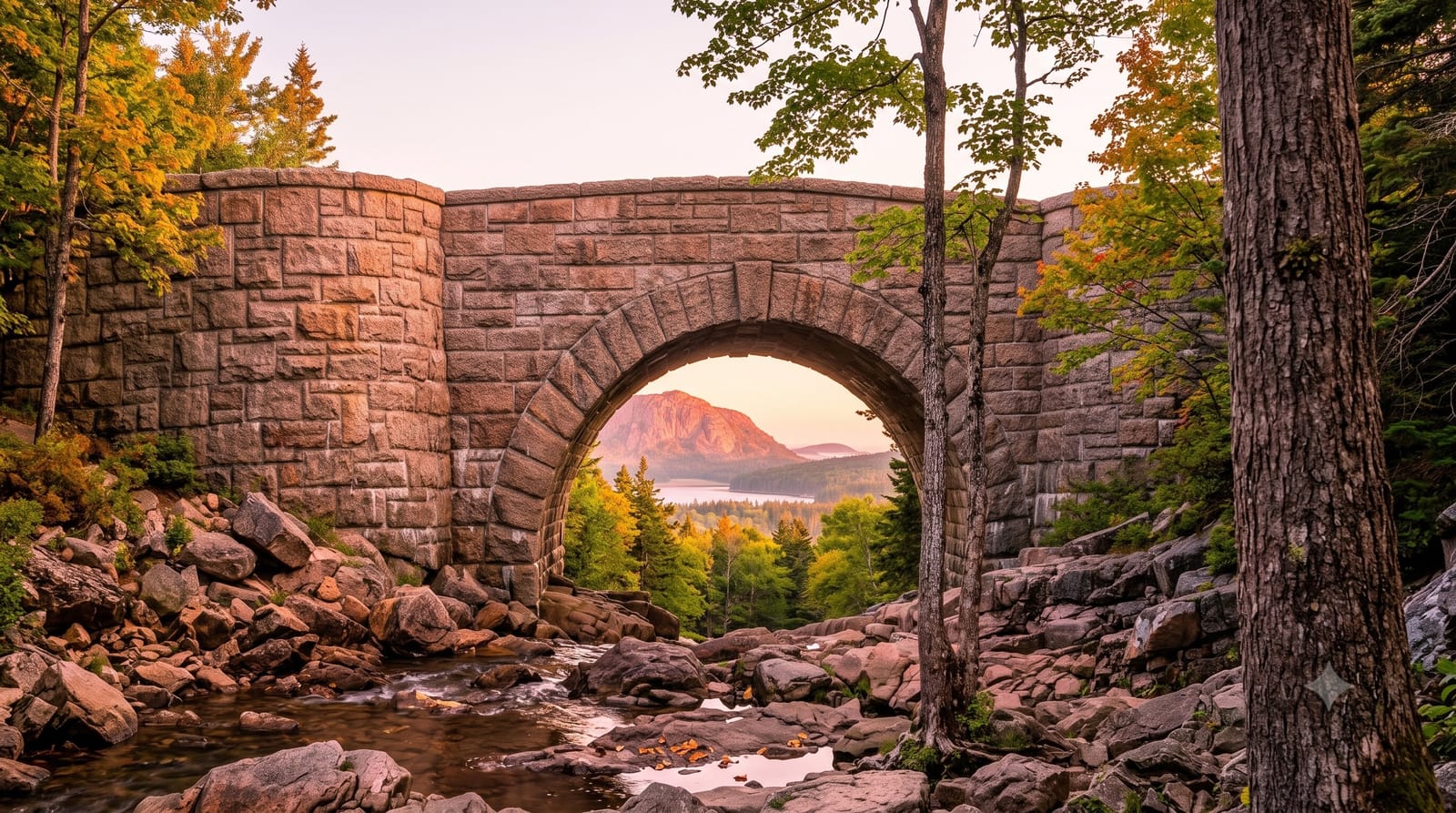
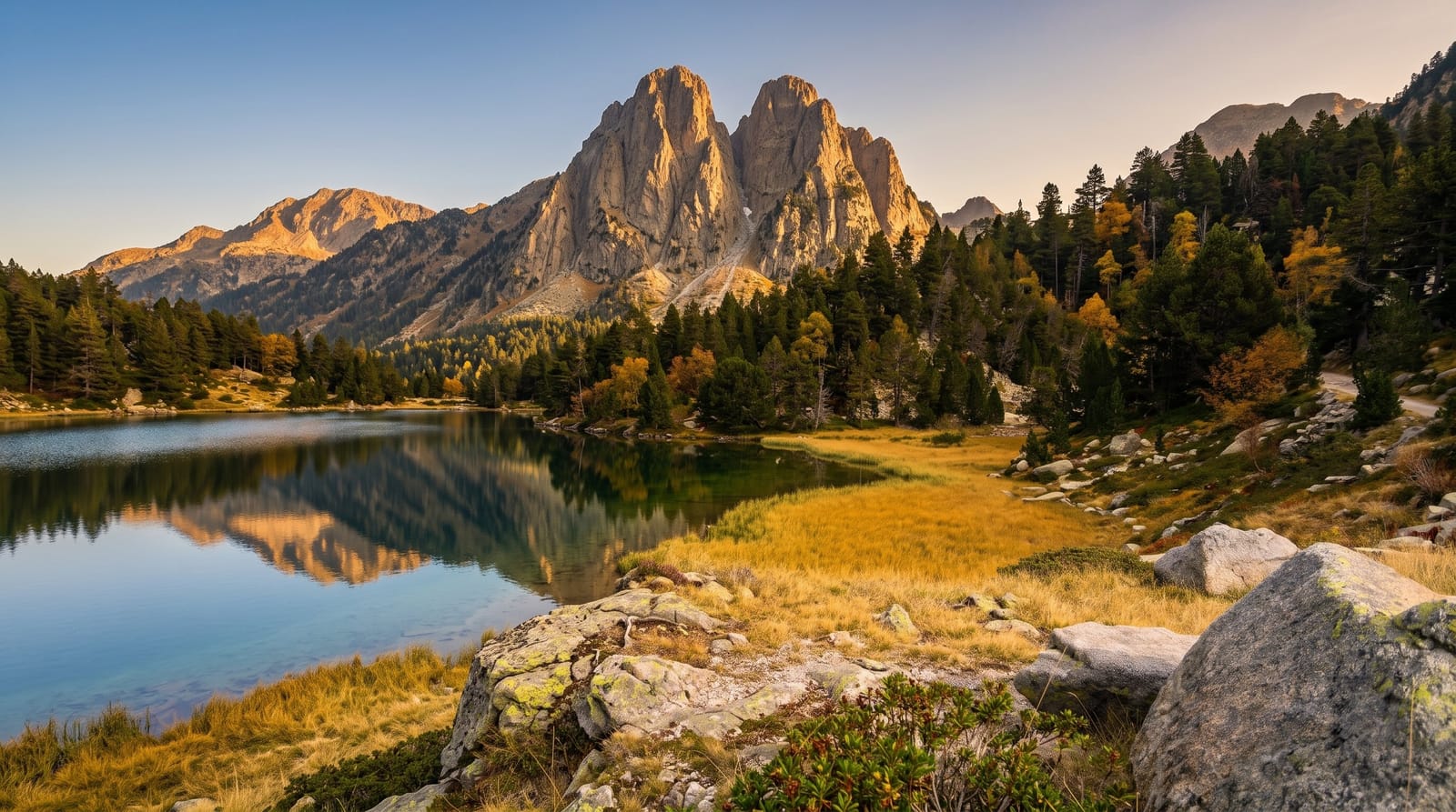
Tazekka National Park
Cork oak and cedar around a 1,980-metre summit near Taza, with the deepest accessible cave shaft in North Africa.
Saved in this browser only - no account, nothing sent anywhere. See your map
Tazekka was created in 1950 around the summit of Jebel Tazekka at 1,980 metres and later extended to about 13,700 hectares, protecting cork oak on the lower slopes, holm oak above it, and a relict stand of Atlas cedar near the top - the north-easternmost cedar in Morocco. The circuit road from Taza runs through all of it and is the way to see the park in a day. The set piece is Friouato: a limestone shaft opening in the plateau, around thirty metres across and dropping about 180 metres, with a concrete stairway of some five hundred steps built down the side to a chamber at the bottom from which passages lead further into a system that continues well beyond the tourist section. It is cold, wet and slippery, and the climb back up is the hard part. The Ras el-Ma spring and the Zerarda gorge are on the same circuit.
What you actually see
- The Friouato shaft - a 180-metre limestone pot with about five hundred steps down it.
- Relict cedar - the north-easternmost Atlas cedar stand in Morocco, near the summit.
- A cork oak circuit - a road from Taza through all the park's forest belts.
- Gorges and springs - the Zerarda gorge and Ras el-Ma on the same route.
When to go
Spring and autumn. A day. Bring a torch and grip for the cave.
Honest expectations
The cave descent is five hundred wet slippery steps and the return climb is genuinely hard - it defeats people. Guides at the entrance are compulsory in practice and prices should be agreed. There is no lighting beyond the entrance chamber. Park signage is limited.
Nearby
Taza is north; the Rif runs west from the park.
What to pack for Tazekka National Park
Chosen from what this place is for. Tap a kit for the full checklist.
Opening times, ticket prices and seasonal closures change - check the official source before you go: official site.