Jebel Bou Iblane
A remote 3,190-metre massif in the eastern Middle Atlas that holds snow into spring and once had a ski lift.
Updated 12 October 2026
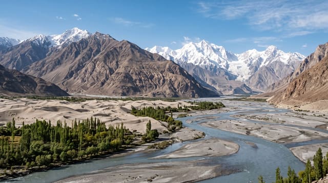
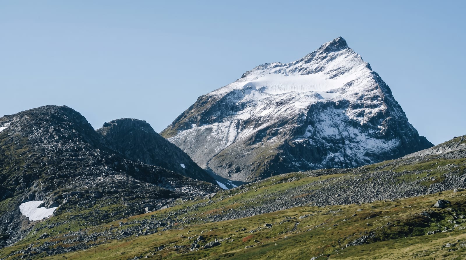
Bou Iblane is a long limestone ridge in the eastern Middle Atlas rising to about 3,190 metres at its highest point, with cedar forest on the northern flanks and bare rock and scree above. It takes serious snow - enough that a small ski station was built at Taffert in the French period, with a refuge and a lift, and enough that the snow lies into May in good years. The lift has long since stopped working and what remains is the refuge, used by trekkers, and a landscape that sees very few visitors of any kind. The walking is open ridge country with long views east towards the Rif and south to the plateau. Access is the constraint: the pistes in are rough, there is no public transport, villages are small and services essentially absent, and going with a guide arranged in Taza or Fes rather than driving in alone is the sensible approach.
What's there
- A 3,190-metre ridge - bare limestone above cedar on the northern flanks.
- Real snow - lying into May in good years, unusual this far north.
- The Taffert refuge - what remains of a ski station whose lift stopped long ago.
- Very few people - a massif that sees almost no visitors.
When to go
May to October for walking; winter for snow if equipped. Two days.
Things to know
Access is by rough piste and needs four-wheel drive. There are no services - carry food, water and fuel. Weather at 3,000 metres changes fast and there is no rescue capacity. Arrange a guide rather than going in alone.
Nearby
Taza and Tazekka are north-west; Boulemane is south.
Key facts
Source: Wikidata, item Q12200267, read on 18 October 2026.
What to pack for Jebel Bou Iblane
Chosen from what this place is for. Tap a kit for the full checklist.
- Broken-in walking shoes or boots - Grip and ankle support matter more than looks; never hike in brand-new boots. Find on Amazon
- Warm base layers - Merino or synthetic against the skin - never cotton, which chills when damp. Find on Amazon
- Layers for big temperature swings - Warm sun by day, near-freezing at night, even near the equator. Find on Amazon
- Layers + a waterproof shell - Mountain weather turns fast; a packable rain jacket saves the day. Find on Amazon
Some links on this page are Amazon affiliate links - if you buy through them we may earn a small commission at no extra cost to you.
All packing kitsPlan your trip
Where to start if Jebel Bou Iblane is going on the list.
Booking links on this page are affiliate links - if you book through them we may earn a small commission at no extra cost to you. It never changes what we write about a place.
Opening times, ticket prices and seasonal closures change - check the official source before you go: official site.