Dayet Ifrah
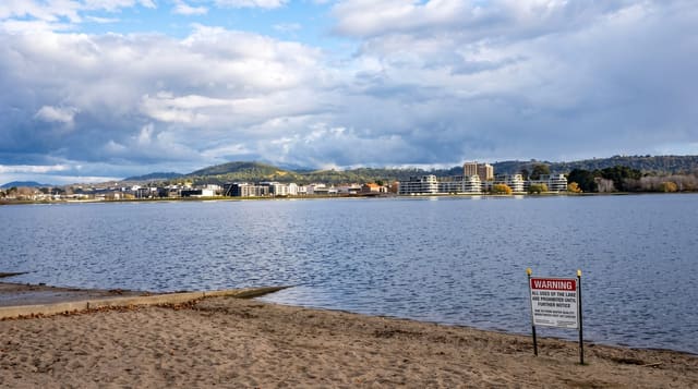
A shallow karst lake ringed by farmland and Berber hamlets on the plateau east of Ifrane.
Updated 29 August 2026
Dayet Ifrah is one of the daya, the closed limestone depressions of the Middle Atlas plateau that fill with water - shallow, roughly circular, with no outlet, gaining and losing water through the rock beneath and through the seasons. Unlike the forest lakes further west, this one sits in worked country: barley fields and grazing come down to the shore and hamlets of the Ait Seghrouchen stand around the rim, so what you see is a lake in the middle of ordinary agricultural life, with sheep at the water and storks on the fields. In spring it is full and the surrounding land is green; by September it can be much reduced and in dry years nearly gone, which is the pattern of these lakes and has become more pronounced. Birds use it on passage. The tracks around the rim connect several other daya on the same plateau.
What you'll find
- A closed depression - a shallow karst lake with no outlet, filling through the rock.
- Farmland to the shore - barley and grazing worked right up to the water.
- Berber hamlets on the rim - Ait Seghrouchen villages around the lake.
- A seasonal lake - full in spring, much reduced or dry by late summer.
When to go
March to June, when it holds water. Half a day.
Good to know
It can be nearly dry in late summer and in dry years. There are no facilities at all. Tracks are rough and unmarked. This is working farmland - stay on tracks and ask before crossing fields.
Nearby
Ifrane is west; Dayet Aoua is on the same plateau.
Key facts
Source: Wikidata, item Q49240024, read on 18 October 2026.
What to pack for Dayet Ifrah
Chosen from what this place is for. Tap a kit for the full checklist.
- Reef-safe sunscreen - High SPF that will not bleach the coral you are swimming over. Find on Amazon
- Quick-dry towel - A microfibre towel packs small and dries in minutes. Find on Amazon
- Water shoes - Protect your feet on rocky entries, hot sand and sea-urchin spines. Find on Amazon
- Dry bag - Keeps phone, cash and keys safe while you are in the water. Find on Amazon
Some links on this page are Amazon affiliate links - if you buy through them we may earn a small commission at no extra cost to you.
All packing kitsPlan your trip
Where to start if Dayet Ifrah is going on the list.
Booking links on this page are affiliate links - if you book through them we may earn a small commission at no extra cost to you. It never changes what we write about a place.
Opening times, ticket prices and seasonal closures change - check the official source before you go: official site.