Cap Sim Dunes
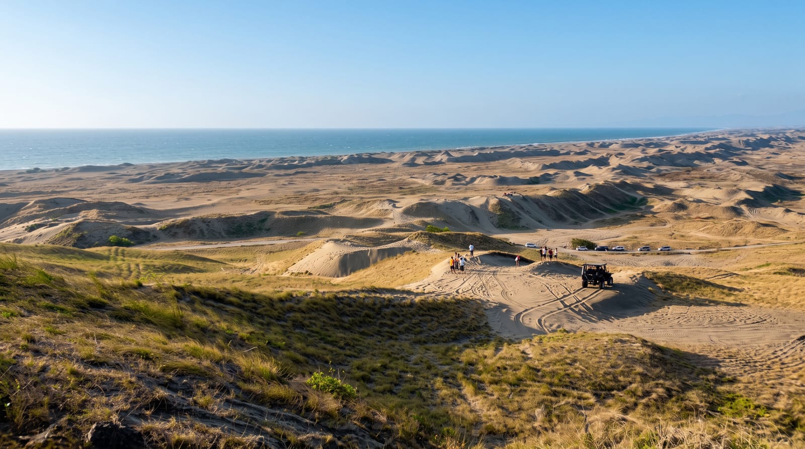
Coastal dunes anchored by juniper and argan south of Essaouira, with a lighthouse on the headland at the end of them.
Updated 29 August 2026
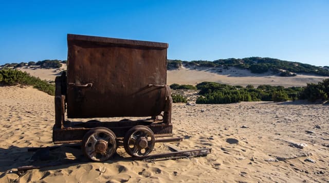
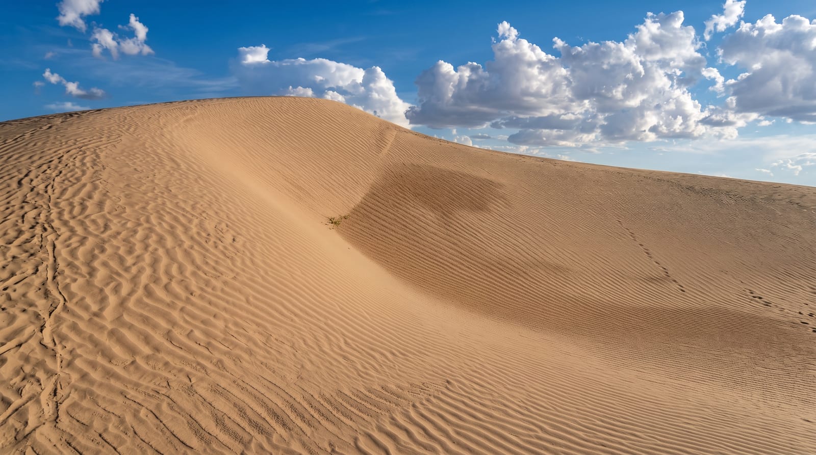
South of Essaouira the coast runs into a belt of mobile and semi-fixed dunes several kilometres deep, held in place where they are held at all by juniper, retama and argan, with a lighthouse on the Cap Sim headland at the southern end. The walk or ride down from Diabat along the beach and then inland over the sand is one of the standard half-days out of Essaouira and is done on foot, on horseback from the stables at Diabat, or on quad bikes, which is the noisy option. Beyond the dunes the argan forest starts, and this is the country where goats climb into the trees for the fruit - a real behaviour that is also, along the main roads, staged with tethered animals for photographs, which is worth knowing before paying for the picture. The ruins of the Borj el-Baroud, a fort half-buried in sand near Diabat, are on the same route.
What you'll find
- A dune belt - several kilometres deep, held by juniper, retama and argan.
- The Cap Sim lighthouse - on the headland at the southern end.
- Borj el-Baroud - a fort half-buried in sand on the route from Diabat.
- Argan and goats - the forest inland where the behaviour is genuine, unlike the roadside version.
When to go
April to October. Half a day, walking or riding from Diabat.
Before you go
Quad traffic on the dunes is noisy and erodes them. Roadside tree-goat photographs are staged with tethered animals - paying for them keeps it going. There are no facilities on the route. Wind and blown sand are constant.
Nearby
Essaouira is north; Sidi Kaouki is south along the coast.
Key facts
Source: Wikidata, item Q29096275, read on 18 October 2026.
What to pack for Cap Sim Dunes
Chosen from what this place is for. Tap a kit for the full checklist.
- Broken-in walking shoes or boots - Grip and ankle support matter more than looks; never hike in brand-new boots. Find on Amazon
- Loose, light, long clothing - Covering up beats bare skin in the desert - and locals dress this way for a reason. Find on Amazon
- Layers + a waterproof shell - Mountain weather turns fast; a packable rain jacket saves the day. Find on Amazon
- A wide-brim hat + sunglasses - Shade for your face and eyes where there is none overhead. Find on Amazon
Some links on this page are Amazon affiliate links - if you buy through them we may earn a small commission at no extra cost to you.
All packing kitsPlan your trip
Where to start if Cap Sim Dunes is going on the list.
Booking links on this page are affiliate links - if you book through them we may earn a small commission at no extra cost to you. It never changes what we write about a place.
Opening times, ticket prices and seasonal closures change - check the official source before you go: official site.