Al Hoceima National Park
A stretch of Mediterranean limestone cliffs, hidden coves and thuya scrub west of Al Hoceima, reached mostly by boat.
Updated 29 August 2026
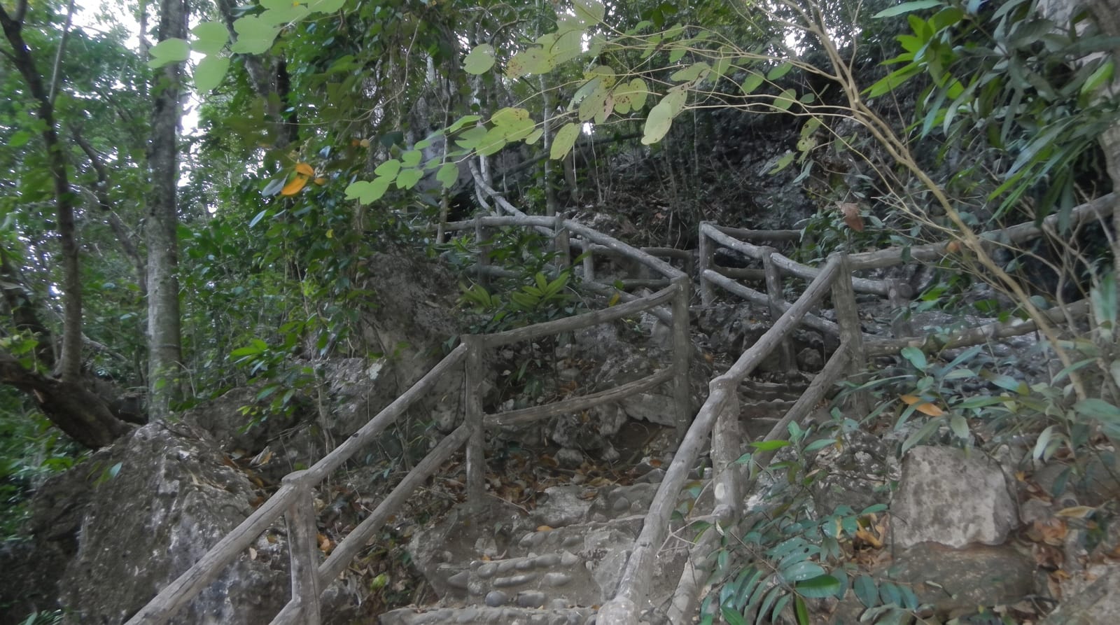
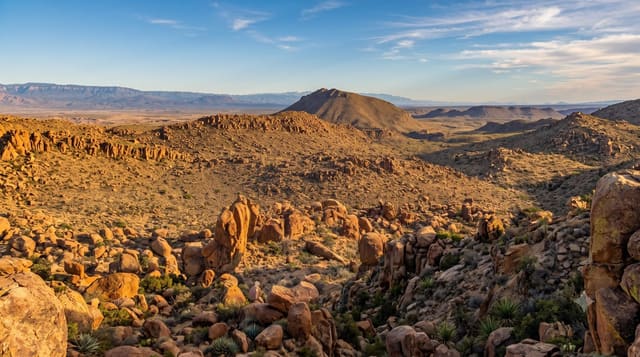
The national park west of Al Hoceima protects one of the least developed stretches of the Moroccan Mediterranean: white limestone cliffs dropping straight into clear water, small coves reached only from the sea, and inland hills of thuya, juniper and olive. Ospreys nest on the cliffs, one of the few remaining Mediterranean populations, and dolphins are seen offshore. The fishing harbour at Cala Iris, with its rocky islet just offshore, is the usual base, and boatmen run trips along the coast to beaches that have no road at all. Inland, rough tracks link villages where terraced fields and stone houses sit high above the sea.
What you'll find
- The cliff coast - white limestone walls falling into clear Mediterranean water.
- Cala Iris - the small fishing harbour and the islet off its beach.
- The boat coves - beaches along the park reachable only from the water.
- The ospreys - cliff nesting fish eagles, rare in the Mediterranean.
When to go
Summer is when boat trips run reliably and the water is warm enough to swim, though August fills the beaches with Moroccan families. June and September give the same sea with more space. Spring is green and good for walking inland. Winter closes most boat services and the sea gets rough.
Before you go
Access is the hard part: the coast road is slow and winding, most of the best beaches have no road at all, and boats depend on the weather and on finding other passengers to share the cost. Facilities inside the park are close to nonexistent, signage is poor and maps are unreliable. Rubbish washes up in the coves after storms.
Nearby
The town of Al Hoceima and its bay are just east, and the coast road runs on west towards Tetouan.
Key facts
Source: Wikidata, item Q3132083, read on 18 October 2026.
What to pack for Al Hoceima National Park
Chosen from what this place is for. Tap a kit for the full checklist.
- Broken-in walking shoes or boots - Grip and ankle support matter more than looks; never hike in brand-new boots. Find on Amazon
- Travel rod + reel - A packable multi-piece rod fits in a case and covers most holiday fishing. Find on Amazon
- Reef-safe sunscreen - High SPF that will not bleach the coral you are swimming over. Find on Amazon
- Binoculars - The single best wildlife tool - even a compact pair transforms a sighting. Find on Amazon
Some links on this page are Amazon affiliate links - if you buy through them we may earn a small commission at no extra cost to you.
All packing kitsPlan your trip
Where to start if Al Hoceima National Park is going on the list.
Booking links on this page are affiliate links - if you book through them we may earn a small commission at no extra cost to you. It never changes what we write about a place.
Opening times, ticket prices and seasonal closures change - check the official source before you go: official site.