Cerro de la Bufa
Zacatecas's rock crown - a cable car to a summit of chapel, museum and revolutionary memory, with the pink city spread below.
Updated 20 October 2026
AI illustration
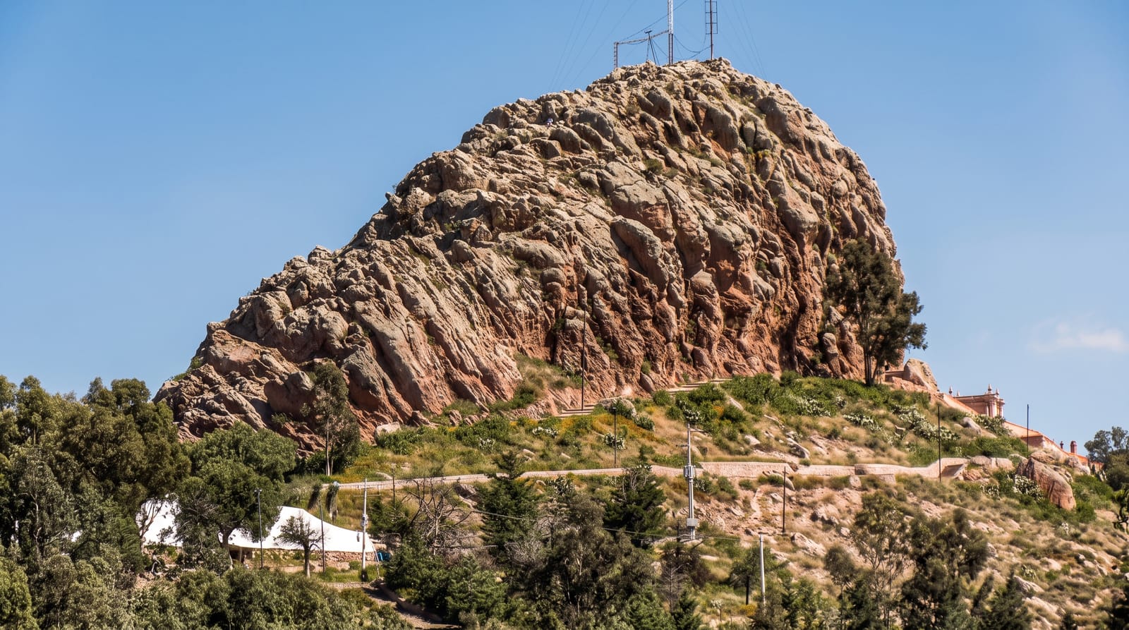
La Bufa is the rock that decides how Zacatecas looks: a crested hill rising directly above the colonial centre, named for its resemblance to a wineskin, and reached by a cable car that swings across the whole city from the Cerro del Grillo station - a short ride with the best possible introduction to a town of pink cantera roofs packed into a ravine. On top sits an ensemble: the eighteenth-century chapel of the Virgen del Patrocinio, the city's patroness, still a pilgrimage focus; the Museo de la Toma de Zacatecas, which recounts the 1914 battle fought on these slopes, one of the decisive engagements of the revolution, with equestrian statues of its commanders outside; an observatory and a mausoleum of illustrious Zacatecans cut into the rock; and terraces where the view runs from the cathedral's carved facade to the semi-desert horizon. Paths climb the crest for the higher outlook, and the sunset hour turns the whole city rose. Craft stalls and a restaurant handle the rest.
History
The hill, 2,610 metres above sea level, was home to several Aridoamerican peoples, among them the Zacatecas, who gave their name to the city and the state. Juan de Tolosa named it when the Spanish arrived looking for silver, and in 1588 it was placed in the city's arms with the support of Philip II (Wikipedia, Bufa Hill).
The main sights
- The cable car - the crossing above the city roofs.
- The Patrocinio chapel - the summit pilgrimage church.
- The battle museum - 1914 remembered where it happened.
- The terraces - Zacatecas in pink stone below.
When to go
Late afternoon for the light and the sunset; the cable car stops in high wind, so mornings are the safer bet if the day is blustery. Year-round.
Before you go
The summit is windy and cold well beyond what the city below suggests. Cable-car queues build on weekends. Walking up is possible but steep and better done downhill.
Nearby
The El Eden mine connects by lift to the cable-car station; the cathedral, Coronel museums and the centre lie below.
Key facts
Source: Wikidata, item Q2481092, read on 18 October 2026.
What to pack for Cerro de la Bufa
Chosen from what this place is for. Tap a kit for the full checklist.
- Broken-in walking shoes or boots - Grip and ankle support matter more than looks; never hike in brand-new boots. Find on Amazon
- Spare batteries + cards - Cold and long shoots drain power; never run out at the good light. Find on Amazon
- Loose, light, long clothing - Covering up beats bare skin in the desert - and locals dress this way for a reason. Find on Amazon
- Modest clothing - Shoulders and knees covered - the single most common requirement. Find on Amazon
Some links on this page are Amazon affiliate links - if you buy through them we may earn a small commission at no extra cost to you.
All packing kitsPlan your trip
Where to start if Cerro de la Bufa is going on the list.
Booking links on this page are affiliate links - if you book through them we may earn a small commission at no extra cost to you. It never changes what we write about a place.
Opening times, ticket prices and seasonal closures change - check the official source before you go: official site.