Batopilas
Silver at the bottom of the canyon - a subtropical pueblo magico 1,800 metres below the rim, reached by a road of switchbacks past Rarámuri country.
Updated 4 September 2026
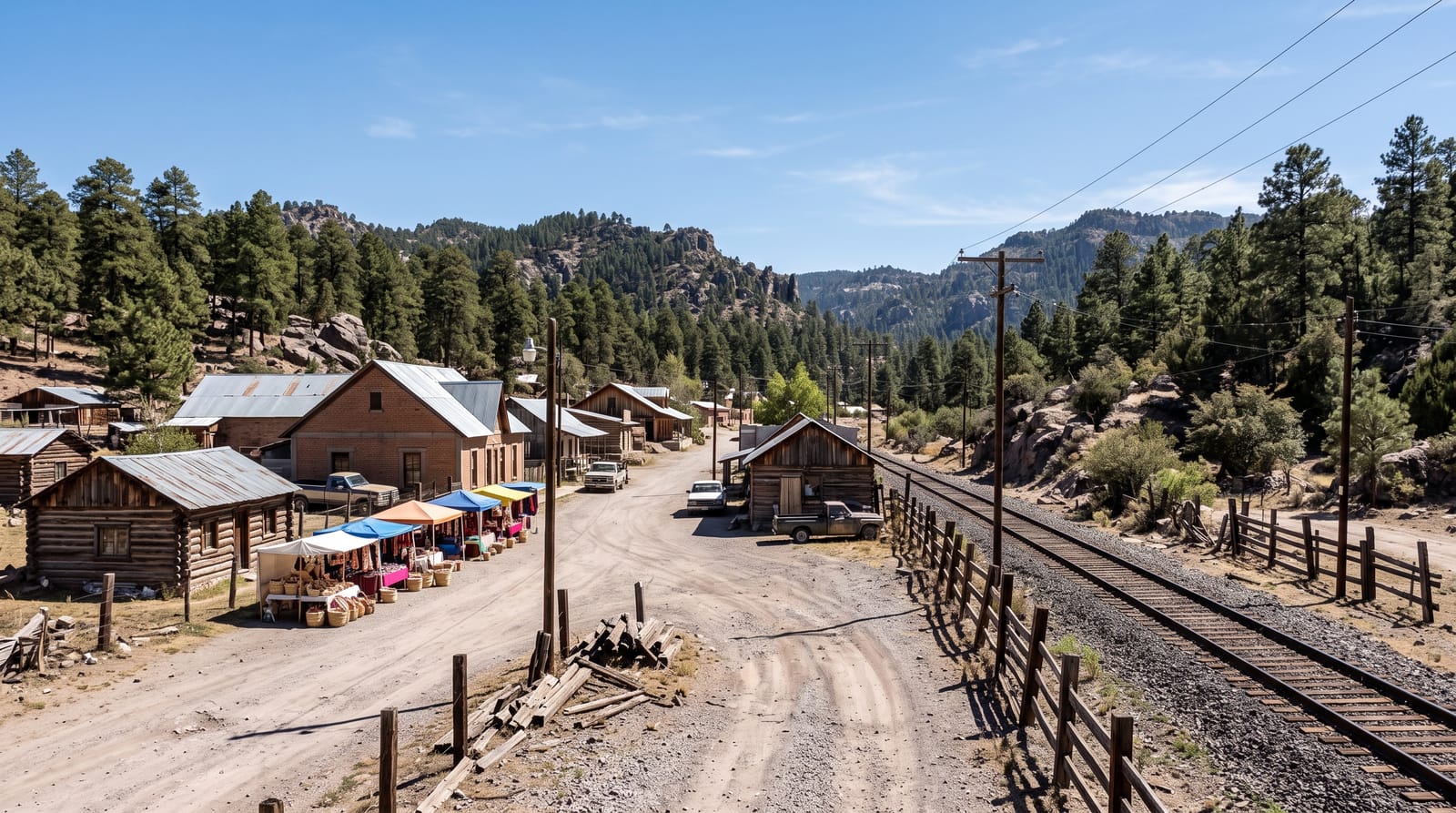
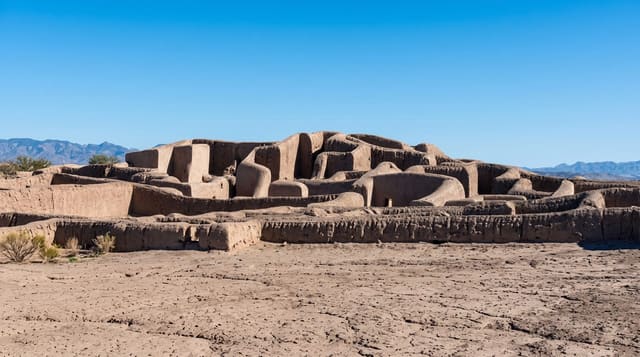
Batopilas sits on a river at about 500 metres, at the bottom of a canyon whose rim stands more than a kilometre above it - which is why the descent, on a road of endless switchbacks through pine, then oak, then cactus and mango, is half the experience and takes hours. The town was one of Mexico's great silver camps: strikes here in the 1600s and again in the 1800s produced fortunes, and the American owner Alexander Shepherd built an industrial estate and one of the first electrified towns in the country, whose ruined hacienda still spreads along the river. Today a few hundred people live among the remains - cobbled lanes, painted facades, a plaza with mangoes and bougainvillea, the museum of silver, and the aqueduct and mine mouths in the hills. The famous excursion is the "Lost Cathedral" of Satevo, a large adobe mission church of uncertain origin standing alone in the river valley some seven kilometres downstream. Rarámuri communities live throughout the canyon; the climate at the bottom is subtropical, warm in winter and fierce in summer.
What to look for
- The canyon descent - switchbacks from pine to palm.
- The Shepherd hacienda - ruined silver works along the river.
- The town lanes - cobbles, mangoes and painted facades.
- Satevo's mission - the lost cathedral downstream.
When to go
October to April, when the canyon floor is warm rather than punishing; summer temperatures at the bottom are extreme. The road is best driven in daylight, always.
Before you go
The road is long, narrow and vertiginous - passengers prone to motion sickness suffer, and drivers need full attention. Services are minimal, cash only, and connectivity is patchy. Ask locally about current road and area conditions before travelling.
Nearby
Creel and the Divisadero rim lie back up the mountain; the canyon's Rarámuri settlements spread along the river.
What to pack for Batopilas
Chosen from what this place is for. Tap a kit for the full checklist.
- Comfortable walking shoes - Sightseeing means kilometres of pavement and cobbles daily. Find on Amazon
- Modest clothing - Shoulders and knees covered - the single most common requirement. Find on Amazon
- A slim anti-theft daypack - Zips that close properly; keep it in front in crowds and on transit. Find on Amazon
- A scarf or shawl - To cover the head or shoulders on entry; women especially at mosques. Find on Amazon
Some links on this page are Amazon affiliate links - if you buy through them we may earn a small commission at no extra cost to you.
All packing kitsPlan your trip
Where to start if Batopilas is going on the list.
Booking links on this page are affiliate links - if you book through them we may earn a small commission at no extra cost to you. It never changes what we write about a place.
Opening times, ticket prices and seasonal closures change - check the official source before you go: official site.