San Antonio de los Cobres
A weather-beaten mining town at 3,775 metres on the Salta puna, the highest settlement of its size in Argentina and a waypoint on the Train to the Clouds.
Updated 4 September 2026
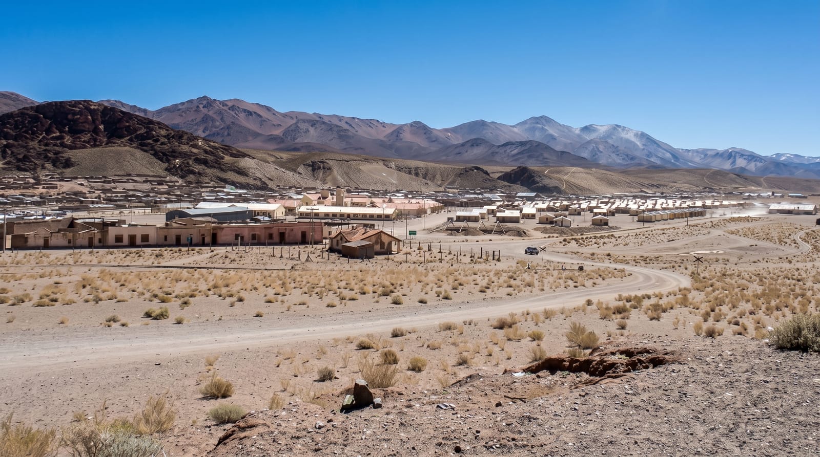
AI illustration
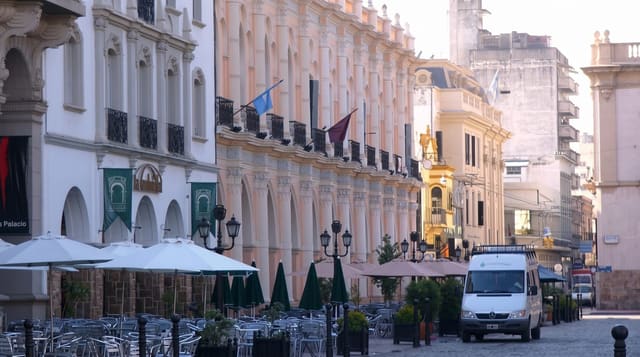
San Antonio de los Cobres sits at 3,775 metres on the open puna of western Salta, a town of low adobe and brick houses built around copper and borax mining, its name taken from the copper that first brought people here. The setting is stark: dust, wind, tin roofs and a huge pale sky, with volcanic cones on the horizon and llamas grazing at the edge of the streets. It is the highest town of its size in the country and a place where daily life at extreme altitude is entirely ordinary, with a market selling woollens and coca leaf, and simple restaurants serving llama stew and quinoa. Most travellers pass through on the Train to the Clouds or on the long road toward the Chilean border and the salt flats, but the town rewards a slower look.
The main sights
- The altiplano town - adobe and tin-roofed streets at 3,775 metres.
- The craft market - woollen goods, llama fibre and highland produce.
- The railway - the station and the line climbing on toward La Polvorilla.
- The volcanic horizon - distant cones and open puna in every direction.
When to go
April to November for reliable roads; winter nights fall far below freezing and summer brings brief violent storms. The town's patron festival in June is a good time to see local music and dress. Any visit is easier after a night or two at lower altitude.
What to expect
This is a hard-working mining town rather than a scenic village, and visitors expecting charm often leave unimpressed. Services are basic, dust is constant, and the wind rarely stops. The altitude is genuinely demanding, and altitude sickness here is common.
Nearby
The Polvorilla viaduct is west along the line; Salta lies far below through the Quebrada del Toro.
Key facts
Source: Wikidata, item Q1563449, read on 18 October 2026.
What to pack for San Antonio de los Cobres
Chosen from what this place is for. Tap a kit for the full checklist.
- Layers for big temperature swings - Warm sun by day, near-freezing at night, even near the equator. Find on Amazon
- Comfortable walking shoes - Sightseeing means kilometres of pavement and cobbles daily. Find on Amazon
- Extra-strong sun protection - Thin air means fierce UV; hat, sunglasses and high-SPF sunscreen. Find on Amazon
- A slim anti-theft daypack - Zips that close properly; keep it in front in crowds and on transit. Find on Amazon
Some links on this page are Amazon affiliate links - if you buy through them we may earn a small commission at no extra cost to you.
All packing kitsPlan your trip
Where to start if San Antonio de los Cobres is going on the list.
Booking links on this page are affiliate links - if you book through them we may earn a small commission at no extra cost to you. It never changes what we write about a place.
Opening times, ticket prices and seasonal closures change - check the official source before you go: official site.