Montagne du Vauclin
The highest point in the south of the island, climbed for a view over both coasts.
Updated 2 September 2026
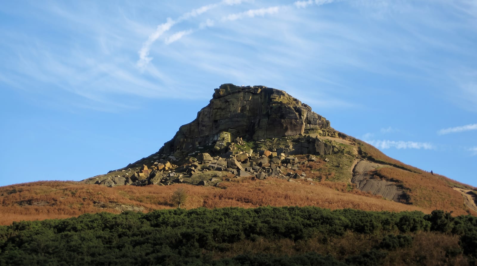
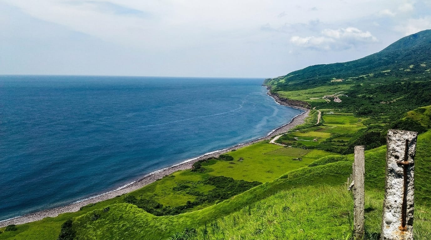
Montagne du Vauclin rises to 504 metres behind Le Vauclin, the highest point in the southern half of the island, and the climb takes around forty minutes on a track that is steep but short. A chapel and a cross stand at the top. On a clear day the view runs across the Atlantic coast and its reefs on one side and to the Caribbean on the other, with the Pitons du Carbet visible to the north.
The landscape
- The summit - 504 metres, the highest point in the southern half of the island.
- The two-coast view - Atlantic reefs on one side, the Caribbean on the other.
- The chapel - the small building and cross at the top.
- The northern view - the Pitons du Carbet visible on clear days.
When to go
December to April has the clearest air. Mornings give the best chance of a view before cloud builds. The track is slippery after rain.
Practical notes
The track is steep and slippery in wet conditions. Cloud frequently blocks the view. There is no shade on the upper section and no facilities anywhere.
Nearby
Pointe Faula is on the coast below, and Le François is north.
Key facts
Source: Wikidata, item Q27728644, read on 18 October 2026.
What to pack for Montagne du Vauclin
Chosen from what this place is for. Tap a kit for the full checklist.
- Broken-in walking shoes or boots - Grip and ankle support matter more than looks; never hike in brand-new boots. Find on Amazon
- Layers + a waterproof shell - Mountain weather turns fast; a packable rain jacket saves the day. Find on Amazon
- Daypack with rain cover - 20-30 litres holds water, snacks, layers and a first-aid kit. Find on Amazon
- Offline maps + a power bank - Download the trail before you lose signal; carry backup charge. Find on Amazon
Some links on this page are Amazon affiliate links - if you buy through them we may earn a small commission at no extra cost to you.
All packing kitsPlan your trip
Where to start if Montagne du Vauclin is going on the list.
Booking links on this page are affiliate links - if you book through them we may earn a small commission at no extra cost to you. It never changes what we write about a place.
Opening times, ticket prices and seasonal closures change - check the official source before you go: official site.