Roseberry Topping
A small hill with a half-collapsed profile caused by mining beneath it, climbed by Captain Cook as a boy.
Updated 20 October 2026
AI illustration
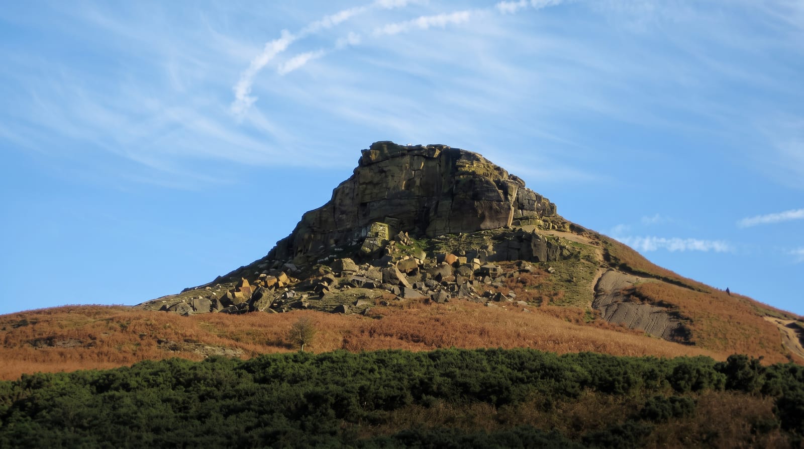
At 320 metres Roseberry Topping is not high, but it stands isolated at the edge of the North York Moors above the Tees lowland, and its western face is a sheer cliff, which gives it a distinctive one-sided profile often compared to the Matterhorn by people who have not seen the Matterhorn. That shape is recent and partly artificial: the hill was a smooth cone until a large landslip in 1912, caused by alum quarrying and ironstone and jet mining undercutting the sandstone cap. James Cook grew up at the foot of it at Great Ayton and climbed it as a boy; a monument to him stands on Easby Moor nearby. The name is Norse, first recorded in 1119 as Othenesberg, the rock of a man with an Old Norse name such as Authun. The climb from the road is short and steep, gaining about two hundred metres.
What's there
- The collapsed face - a cliff created by a 1912 landslip over old mine workings.
- The isolated profile - a cone standing clear of the moor edge.
- The Cook connection - the hill above the village where he was raised.
- The summit view - the Tees valley, the coast and the moors behind.
When to go
April to October for the clearest views; the summit is small and exposed and gets crowded on summer weekends. Heather on the surrounding moor flowers in August. Winter offers the longest visibility but the path is slick.
Practical notes
The climb is short but steep, on stone steps and eroded ground, and the last section is a scramble in places. The summit is tiny and busy. The car park is charged and fills by mid-morning at weekends.
Nearby
Great Ayton and the Cook monument are close; the North York Moors run south.
Key facts
Source: Wikidata, item Q8519110, read on 18 October 2026.
What to pack for Roseberry Topping
Chosen from what this place is for. Tap a kit for the full checklist.
- Broken-in walking shoes or boots - Grip and ankle support matter more than looks; never hike in brand-new boots. Find on Amazon
- Layers + a waterproof shell - Mountain weather turns fast; a packable rain jacket saves the day. Find on Amazon
- Daypack with rain cover - 20-30 litres holds water, snacks, layers and a first-aid kit. Find on Amazon
- Offline maps + a power bank - Download the trail before you lose signal; carry backup charge. Find on Amazon
Some links on this page are Amazon affiliate links - if you buy through them we may earn a small commission at no extra cost to you.
All packing kitsPlan your trip
Where to start if Roseberry Topping is going on the list.
Booking links on this page are affiliate links - if you book through them we may earn a small commission at no extra cost to you. It never changes what we write about a place.
Opening times, ticket prices and seasonal closures change - check the official source before you go: official site.