Gunung Tahan
The highest peak in peninsular Malaysia, a week-long jungle trek with no easy way up it.
Updated 21 October 2026
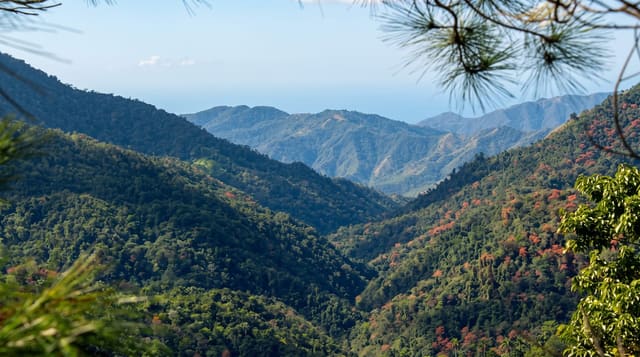
Gunung Tahan reaches 2,187 metres in the middle of Taman Negara and is the highest point in peninsular Malaysia, and it has a reputation among Malaysian hikers as the hardest standard mountain in the country - not for altitude but for what is between: from Kuala Tahan the classic route runs about fifty-five kilometres each way over seven days, crossing a series of ridges and rivers with repeated thousand-metre ascents and descents, through leech-heavy lowland forest, then mossy montane forest, and finally onto an open plateau of stunted vegetation and rock. The shorter Merapoh route takes four to five days. There is no shelter, no resupply and no phone coverage; everything is carried. A permit and a licensed guide are compulsory and the park limits numbers. The summit plateau is often in cloud, and hikers frequently reach it and see nothing.
What's there
- 2,187 metres - the highest point in peninsular Malaysia.
- Fifty-five kilometres each way - the classic route from Kuala Tahan over seven days.
- Forest changing with height - lowland, then mossy montane, then stunted plateau.
- No shelter or resupply - everything carried, with no phone coverage.
When to go
February to September; the monsoon closes it. Five to seven days.
Good to know
This is a serious expedition, not a hike - permits, a licensed guide and full self-sufficiency are required, and mistakes on it are hard to recover from. Leeches are constant. The summit is often clouded in.
Nearby
Taman Negara headquarters at Kuala Tahan is the main trailhead.
Key facts
Source: Wikidata, item Q187315, read on 18 October 2026.
What to pack for Gunung Tahan
Chosen from what this place is for. Tap a kit for the full checklist.
- Broken-in walking shoes or boots - Grip and ankle support matter more than looks; never hike in brand-new boots. Find on Amazon
- Strong insect repellent - DEET or picaridin; the jungle is where bites and disease risk are highest. Find on Amazon
- Layers for big temperature swings - Warm sun by day, near-freezing at night, even near the equator. Find on Amazon
- Shelter suited to the place - Tent, tarp or hut booking - match it to the terrain and rules. Find on Amazon
Some links on this page are Amazon affiliate links - if you buy through them we may earn a small commission at no extra cost to you.
All packing kitsPlan your trip
Where to start if Gunung Tahan is going on the list.
Booking links on this page are affiliate links - if you book through them we may earn a small commission at no extra cost to you. It never changes what we write about a place.
Opening times, ticket prices and seasonal closures change - check the official source before you go: official site.