The Slieve Bloom Mountains
A rounded plateau of blanket bog and forestry in the Midlands, cut by river glens with waterfalls and boardwalk bog walks.
Updated 19 October 2026
AI illustration
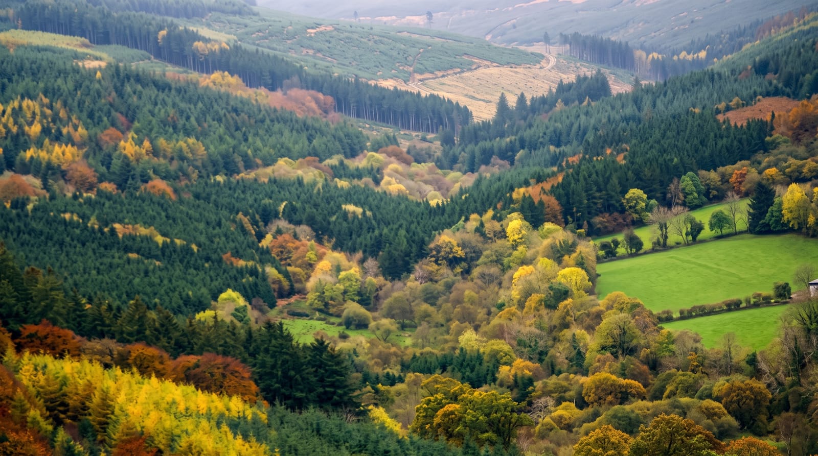
The Slieve Blooms rise out of the flat Midlands as a broad, rounded plateau of blanket bog and forestry, low enough that the highest point, Arderin, reaches only 527 metres, and quiet enough to stay empty on weekends when Wicklow is full. Streams cut steep glens into the edges of the plateau; the best known runs through Glenbarrow, where the Clamphole falls step down over rock in a wooded valley. A boardwalk at the Ridge of Capard gives an easy walk out over intact bog with a wide view across several counties. A long waymarked circuit, the Slieve Bloom Way, loops the whole range.
History
The range stretches from near Roscrea in the south-west to Rosenallis, with its highest point, Arderin, at 527 m, and looped walking trails have been laid out from six trailheads, among them Glenbarrow, Clonaslee, Cadamstown and Kinnitty (Wikipedia, Slieve Bloom Mountains).
Highlights
- Glenbarrow - the river glen with the Clamphole falls and a wooded riverside path.
- The Ridge of Capard - a boardwalk over open blanket bog with wide views.
- Arderin - the high point of the range, on the Laois and Offaly boundary.
- The mountain bike trails - a network of built tracks through the forestry.
When to go
April to October for firmer ground and for heather colour in late summer. The bog holds water all year and paths stay soft after rain. Weekdays are close to empty. Autumn is good in Glenbarrow when the broadleaves turn. There is little infrastructure, so plan food and fuel around the villages at the edge of the range.
What to expect
There is no drama here, no real peak and no big view from most of the range, so visitors expecting mountains in the usual sense find rounded hills under conifer plantation. Signage is patchy and some forest tracks end without warning. The ground is wet almost always, midges are bad in summer, and facilities amount to a few car parks.
Nearby
Kinnitty and Mountrath sit at opposite edges; Birr is a short drive northwest.
Key facts
Source: Wikidata, item Q2658989, read on 18 October 2026.
What to pack for The Slieve Bloom Mountains
Chosen from what this place is for. Tap a kit for the full checklist.
- Broken-in walking shoes or boots - Grip and ankle support matter more than looks; never hike in brand-new boots. Find on Amazon
- Padded shorts - The one thing that makes a full day in the saddle bearable. Find on Amazon
- Layers for big temperature swings - Warm sun by day, near-freezing at night, even near the equator. Find on Amazon
- Layers + a waterproof shell - Mountain weather turns fast; a packable rain jacket saves the day. Find on Amazon
Some links on this page are Amazon affiliate links - if you buy through them we may earn a small commission at no extra cost to you.
All packing kitsPlan your trip
Where to start if The Slieve Bloom Mountains is going on the list.
Booking links on this page are affiliate links - if you book through them we may earn a small commission at no extra cost to you. It never changes what we write about a place.
Opening times, ticket prices and seasonal closures change - check the official source before you go: official site.


