Banggi Island
The largest island lying wholly within Malaysia, off the northern tip of Borneo, barely developed and home to the Bonggi people.
Updated 18 October 2026
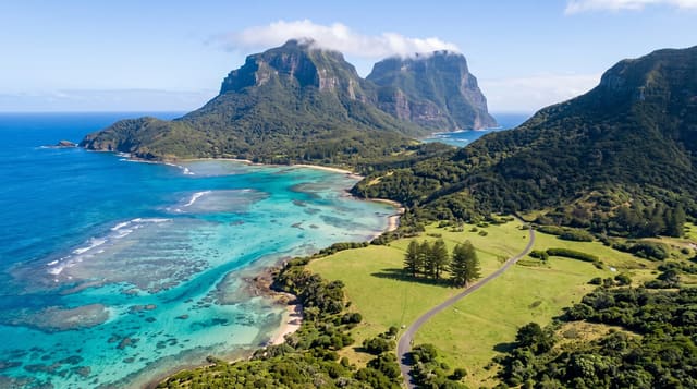
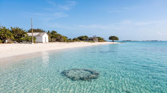
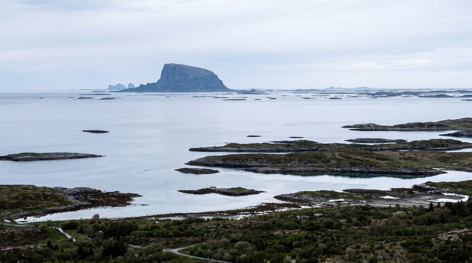
Banggi lies off the northern tip of Borneo and is, at about 440 square kilometres, the largest island lying wholly within Malaysia - bigger than Langkawi or Penang - and almost nobody outside Sabah knows it exists, because it has minimal roads, one small town at Karakit, and no tourism industry to speak of. The island is home to the Bonggi, an indigenous group with their own language, who live mainly by farming and fishing; the Bajau and other communities are on the coast. There are beaches, mangrove, hills of forest, and reef offshore in the Tun Mustapha marine park, which is the largest marine protected area in the country. Travel on the island is by shared transport on rough roads or by boat. Facilities are village-level and visitors are rare enough to be noticed.
History
The island has long been in touch with the wider world: a Vietnamese Đông Sơn bronze drum 2,000 to 2,500 years old was found on Timbang Dayang Hill, and old Chinese ceramics turn up around the island and in Kudat. Local tradition explains the name: in the Bonggi language it is linked to bangkai, "corpse", because the earliest islanders did not bury their dead at once but left them in trees until only the bones remained, which were then collected for burial. Islanders today usually say Bonggi, and under British rule the island was called Banguey (Wikipedia, Banggi Island).
The landscape
- Malaysia's largest island - 450 square kilometres with almost no development.
- The Bonggi people - the indigenous community with their own language.
- Tun Mustapha marine park - the country's largest marine protected area around it.
- Village-level travel - rough roads, shared transport, no tourist infrastructure.
When to go
March to October. Two days.
Things to know
There is essentially no tourism infrastructure - accommodation is minimal and basic. Roads are rough and transport is irregular. Ferries are weather-dependent. Come prepared to be self-sufficient.
Nearby
Kudat and the Tip of Borneo are on the mainland; Balambangan is west.
Key facts
Source: Wikidata, item Q1368627, read on 18 October 2026.
What to pack for Banggi Island
Chosen from what this place is for. Tap a kit for the full checklist.
- Travel rod + reel - A packable multi-piece rod fits in a case and covers most holiday fishing. Find on Amazon
- Reef-safe sunscreen - High SPF that will not bleach the coral you are swimming over. Find on Amazon
- A small tackle selection - Hooks, weights, line and a few lures or flies suited to local waters. Find on Amazon
- Quick-dry towel - A microfibre towel packs small and dries in minutes. Find on Amazon
Some links on this page are Amazon affiliate links - if you buy through them we may earn a small commission at no extra cost to you.
All packing kitsPlan your trip
Where to start if Banggi Island is going on the list.
Booking links on this page are affiliate links - if you book through them we may earn a small commission at no extra cost to you. It never changes what we write about a place.
Opening times, ticket prices and seasonal closures change - check the official source before you go: official site.