Mount Trus Madi
Malaysia's second-highest peak, a hard two-day climb through mossy forest with pitcher plants on the summit ridge.
Updated 29 August 2026
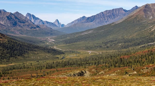
Trus Madi reaches 2,642 metres in the Crocker range south of Kinabalu and is the second-highest mountain in Malaysia, and it is a completely different proposition from its neighbour: where Kinabalu has a built path, huts and several hundred climbers a day, Trus Madi has a muddy jungle trail, a basic camp, no infrastructure and a handful of people on it, so it is climbed by those who want the mountain rather than the certificate. The route from Tambunan takes two days with a night at around two thousand metres, through lowland forest into mossy montane forest hung with epiphytes. Its botanical draw is Nepenthes, the pitcher plants: several species grow on the ridge including Nepenthes macrophylla, which is found on this mountain and essentially nowhere else, and hybrid forms. Summit views take in Kinabalu across the range when it is clear.
What you'll find
- 2,642 metres - the second-highest peak in Malaysia.
- Nepenthes macrophylla - a pitcher plant found on this mountain and almost nowhere else.
- Mossy montane forest - epiphyte-hung and permanently wet on the upper slopes.
- Kinabalu across the range - visible from the summit in clear weather.
When to go
February to September. Two to three days.
Things to know
There is no built infrastructure - a muddy trail, a basic camp, and a guide and permit required. It is harder than Kinabalu despite being lower. Leeches, rain and cold at the camp. Collecting pitcher plants is illegal.
Nearby
Tambunan and Mahua waterfall are north-west; Kinabalu is north.
Key facts
Source: Wikidata, item Q1099076, read on 18 October 2026.
What to pack for Mount Trus Madi
Chosen from what this place is for. Tap a kit for the full checklist.
- Broken-in walking shoes or boots - Grip and ankle support matter more than looks; never hike in brand-new boots. Find on Amazon
- Strong insect repellent - DEET or picaridin; the jungle is where bites and disease risk are highest. Find on Amazon
- Layers for big temperature swings - Warm sun by day, near-freezing at night, even near the equator. Find on Amazon
- Shelter suited to the place - Tent, tarp or hut booking - match it to the terrain and rules. Find on Amazon
Some links on this page are Amazon affiliate links - if you buy through them we may earn a small commission at no extra cost to you.
All packing kitsPlan your trip
Where to start if Mount Trus Madi is going on the list.
Booking links on this page are affiliate links - if you book through them we may earn a small commission at no extra cost to you. It never changes what we write about a place.
Opening times, ticket prices and seasonal closures change - check the official source before you go: official site.