Tombstone Territorial Park
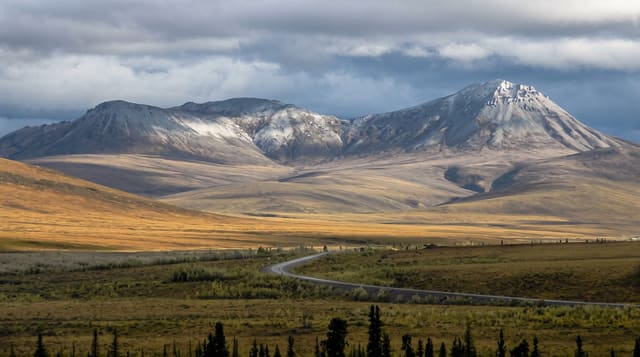
Black granite peaks above open tundra on the Dempster Highway, where the ground turns scarlet and gold for two weeks each August.
Updated 21 October 2026
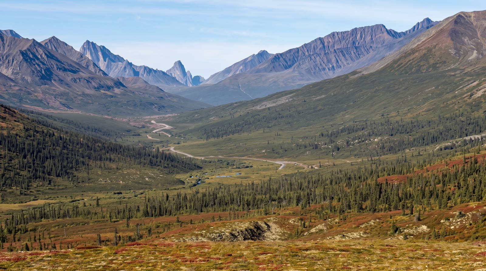
AI illustration
Two hours up the Dempster Highway from Dawson, the road climbs onto a plateau and the Tombstone range appears: dark jagged granite peaks standing over rolling tundra with no trees at all, a landscape that looks subarctic because it is. Parts of this country, north of the divide, escaped the glaciations, so its plant communities are unusually old, and the traditional territory of the Tr'ondëk Hwëch'in runs through it. For roughly two weeks in late August the tundra turns, dwarf birch to scarlet and willow to gold across whole hillsides, which is when photographers arrive. Three backcountry campgrounds sit at Grizzly, Divide and Talus lakes, reached on foot, with permits capped tightly.
What you'll find
- The Tombstone range - black granite peaks above treeless tundra.
- Tundra colour - two weeks of scarlet and gold in late August.
- Grizzly Lake - the classic hike in, hard going and heavily booked.
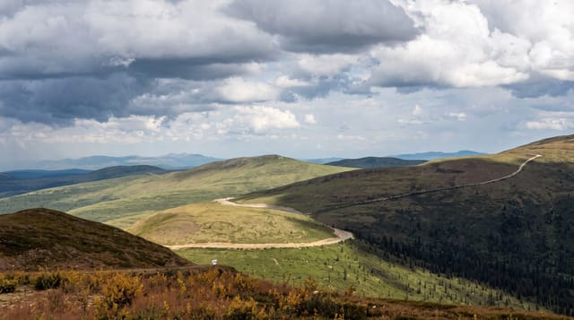
- The Dempster Highway - the road itself, running toward the Arctic Ocean.
When to go
Late June to mid-September, with wildflowers in early July and the tundra colour usually peaking in the last ten days of August. Snow can fall in any month. Backcountry permits for the lake campgrounds open in spring and go within minutes.
Practical notes
The Dempster is gravel, hard on tyres and windscreens, and hire companies often prohibit it or exclude tyre damage; carry two spares. Backcountry permits are extremely limited and the Grizzly Lake trail is far rougher than its distance suggests. Grizzly bears are present throughout. There is no fuel between Dawson and Eagle Plains, nearly four hundred kilometres.
Nearby
Dawson City is two hours south; the Arctic Circle is further up the Dempster.
Key facts
Source: Wikidata, item Q844692, read on 18 October 2026.
What to pack for Tombstone Territorial Park
Chosen from what this place is for. Tap a kit for the full checklist.
- Broken-in walking shoes or boots - Grip and ankle support matter more than looks; never hike in brand-new boots. Find on Amazon
- Warm base layers - Merino or synthetic against the skin - never cotton, which chills when damp. Find on Amazon
- Layers for big temperature swings - Warm sun by day, near-freezing at night, even near the equator. Find on Amazon
- Layers + a waterproof shell - Mountain weather turns fast; a packable rain jacket saves the day. Find on Amazon
Some links on this page are Amazon affiliate links - if you buy through them we may earn a small commission at no extra cost to you.
All packing kitsPlan your trip
Where to start if Tombstone Territorial Park is going on the list.
Booking links on this page are affiliate links - if you book through them we may earn a small commission at no extra cost to you. It never changes what we write about a place.
Opening times, ticket prices and seasonal closures change - check the official source before you go: official site.