Dempster Highway
Canada's only public road across the Arctic Circle, seven hundred kilometres of gravel built on insulating gravel.
Updated 19 October 2026
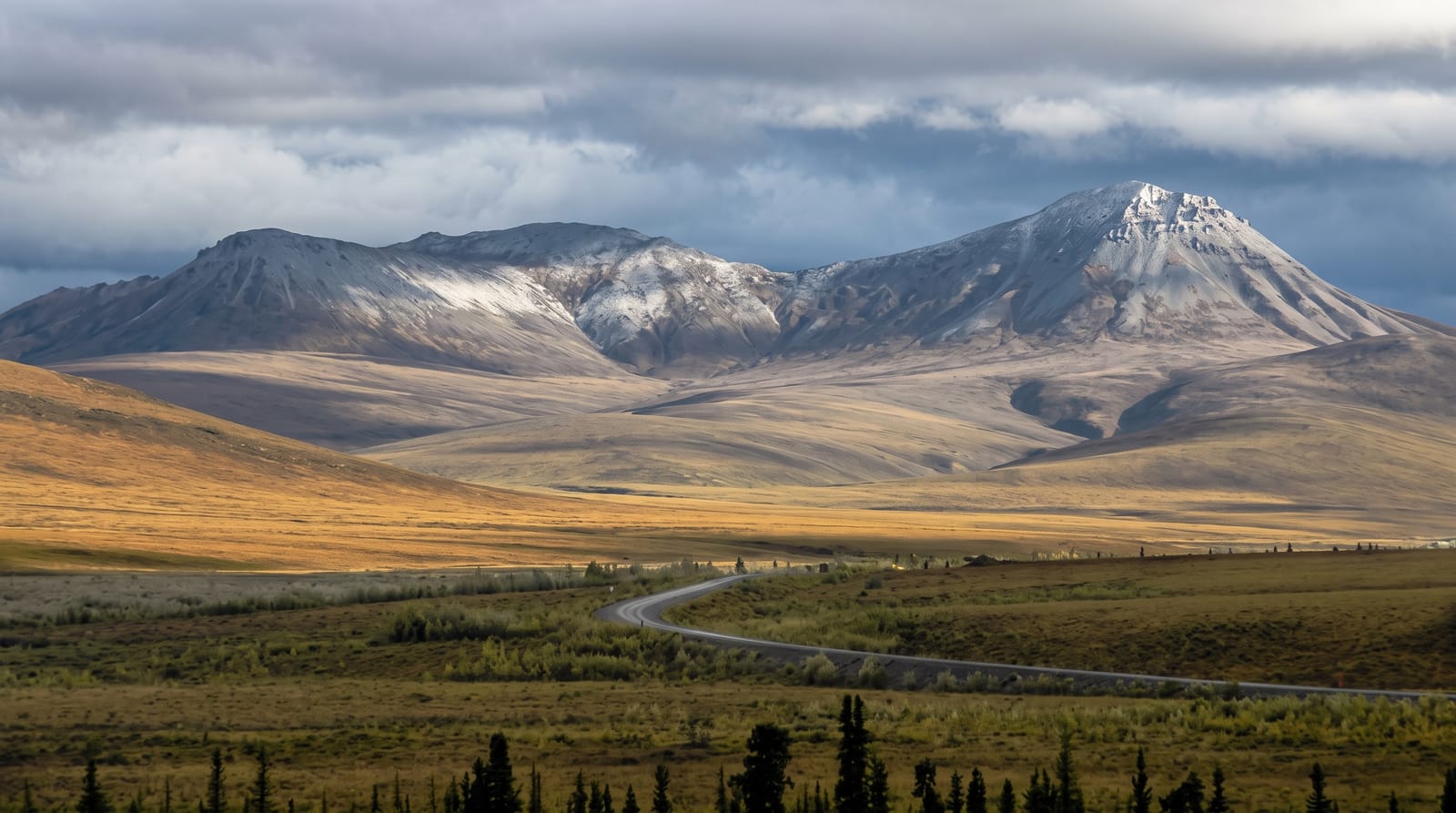
AI illustration
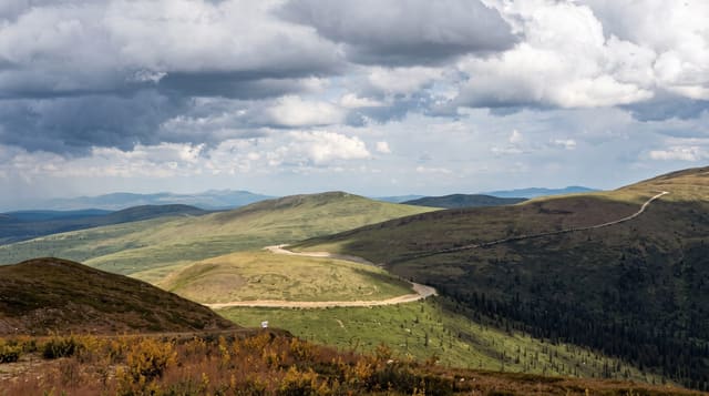
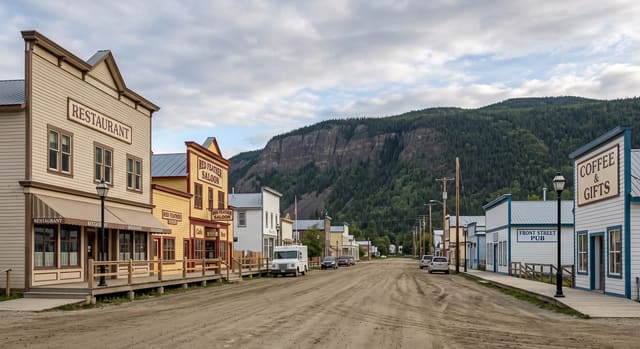
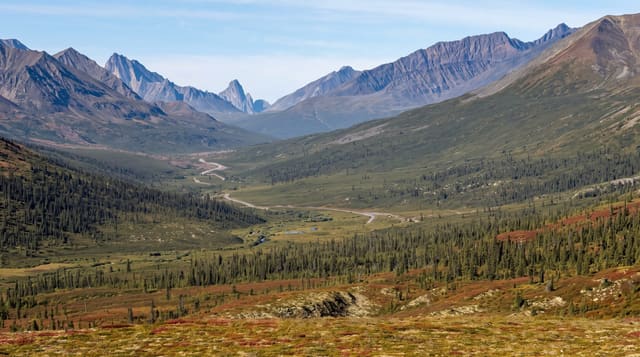
The Dempster runs about seven hundred and thirty-six kilometres from near Dawson City to Inuvik, the only public highway in Canada crossing the Arctic Circle. It is gravel throughout and is built as a raised berm of gravel over the permafrost rather than cut into it, because disturbing the ground ice would melt it and destroy the road. It crosses the Ogilvie and Richardson Mountains and the Peel and Mackenzie rivers, both by ferry in summer and ice bridge in winter, with a break of several weeks at freeze-up and break-up when neither works. The Tombstone range in the first hundred kilometres is the scenic highlight.
History
The highway roughly follows an old dog-sled route between Dawson City and Fort McPherson, patrolled by the North-West Mounted Police after the gold rush; in December 1910 Inspector Francis Joseph Fitzgerald led the annual winter patrol out of Fort McPherson, lost the trail and died with his three men of exposure and starvation, and Corporal William Dempster, sent to search in March 1911, found their bodies on 22 March. Construction began at Dawson City in January 1959 as a supply road for oil and gas exploration in the Mackenzie Delta, stopped in 1962 after 115 kilometres, took Dempster's name in 1964 and resumed in 1970, on a raised gravel berm that keeps the permafrost from melting (Wikipedia, Dempster Highway).
The main sights
- The Arctic Circle crossing - the only public road in Canada to do it.
- The Tombstone range - jagged peaks in the first hundred kilometres.
- The gravel berm construction - a road built above permafrost to protect it.
- The river ferries - Peel and Mackenzie crossings, ice bridges in winter.
When to go
June to September for the ferries and services; the road is open in winter by ice bridge but is a serious undertaking. Freeze-up and break-up close the river crossings entirely for weeks.
Things to know
Sharp shale destroys tyres and two spares are the standard advice. Services are hundreds of kilometres apart. River crossings shut completely during freeze-up and break-up.
Nearby
Dawson City lies at the southern end; Inuvik and Tuktoyaktuk at the north.
Key facts
Source: Wikidata, item Q1186634, read on 18 October 2026.
What to pack for Dempster Highway
Chosen from what this place is for. Tap a kit for the full checklist.
- Broken-in walking shoes or boots - Grip and ankle support matter more than looks; never hike in brand-new boots. Find on Amazon
- Warm base layers - Merino or synthetic against the skin - never cotton, which chills when damp. Find on Amazon
- Comfortable walking shoes - Sightseeing means kilometres of pavement and cobbles daily. Find on Amazon
- Layers + a waterproof shell - Mountain weather turns fast; a packable rain jacket saves the day. Find on Amazon
Some links on this page are Amazon affiliate links - if you buy through them we may earn a small commission at no extra cost to you.
All packing kitsPlan your trip
Where to start if Dempster Highway is going on the list.
Booking links on this page are affiliate links - if you book through them we may earn a small commission at no extra cost to you. It never changes what we write about a place.
Opening times, ticket prices and seasonal closures change - check the official source before you go: official site.