Top of the World Highway
A summer-only road running along ridge tops to the most remote border crossing in North America.
Updated 4 September 2026
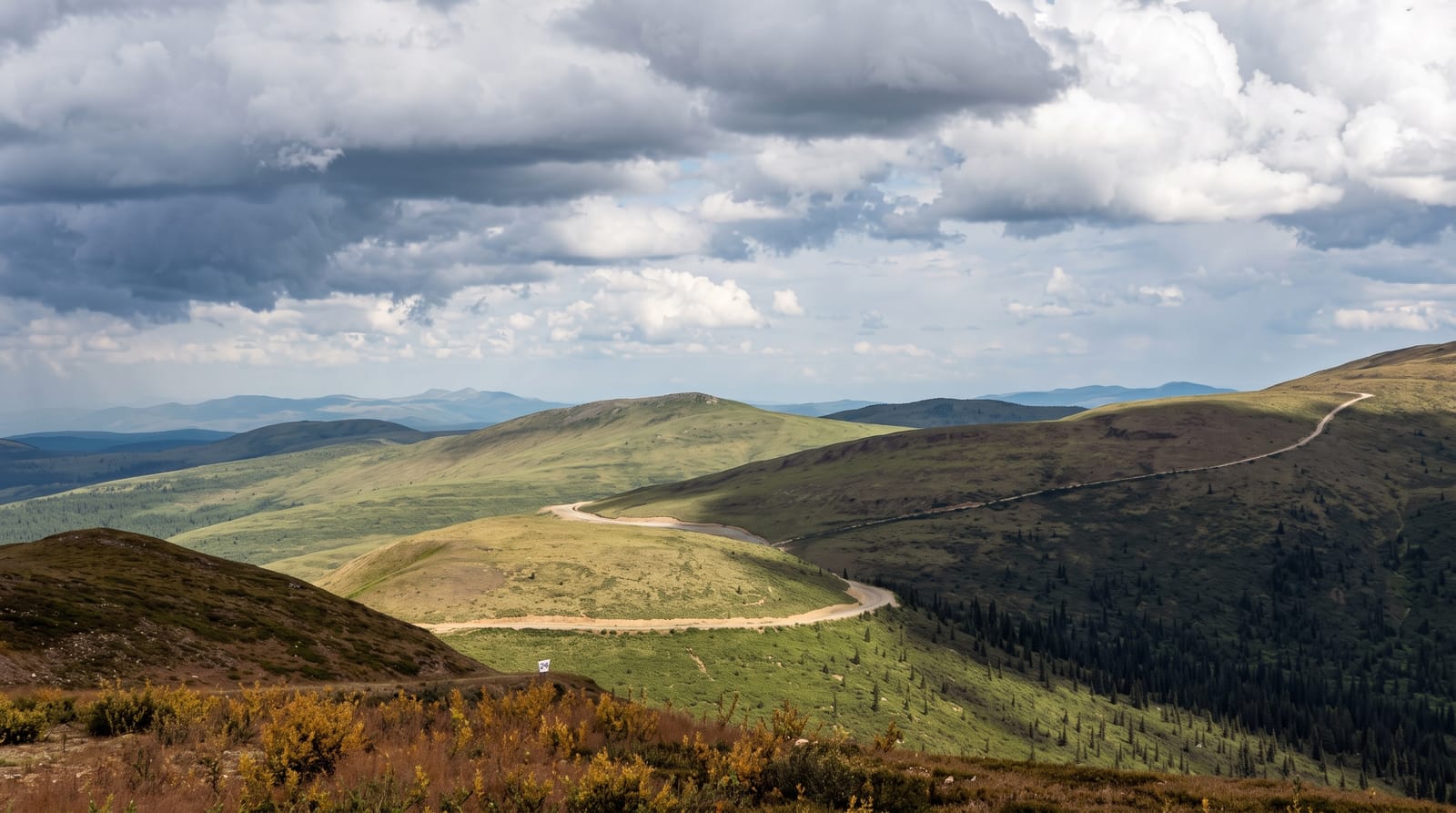
AI illustration
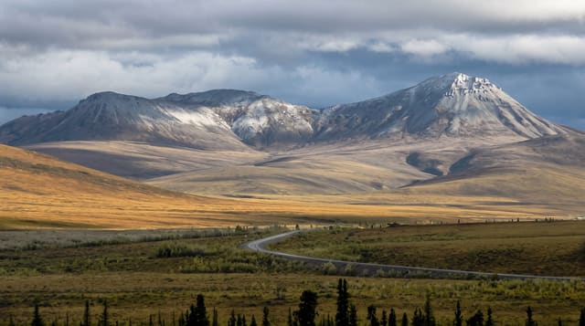
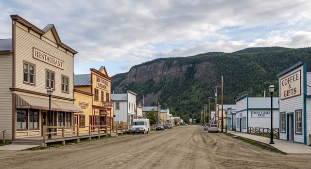
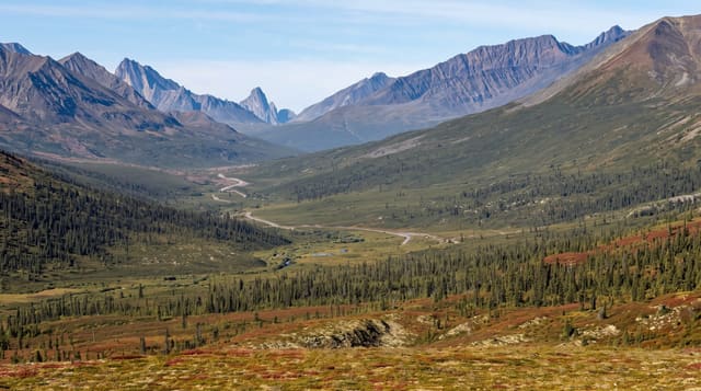
The road climbs out of Dawson City and then runs along the tops of ridges rather than through valleys, so for most of its length you look down on the country on both sides, which is where the name comes from. It is partly paved and partly gravel and reaches the Poker Creek border post, at about one thousand two hundred metres the northernmost land border crossing in North America and one of the most remote; it is open only in summer and only during daylight hours, and arriving outside them means turning back. Access from Dawson is by a free vehicle ferry across the Yukon River, which does not run in winter.
Highlights
- The ridge running - a road on the tops with country falling away both sides.
- Poker Creek - the northernmost and most remote land border in North America.
- The Yukon River ferry - a free crossing that is the only access from Dawson.
- The autumn tundra - the ridges turning red and gold in late August.
When to go
June to September; the road, the ferry and the border post all close for winter and the border keeps limited daylight hours even in season. Autumn colour in late August is the best time.
Before you go
The border post has restricted hours and closes for the season entirely, stranding late arrivals. The ferry queues in summer. The road is gravel in sections and rough after rain.
Nearby
Dawson City lies east; Alaska is west over the border.
Key facts
Source: Wikidata, item Q590304, read on 18 October 2026.
What to pack for Top of the World Highway
Chosen from what this place is for. Tap a kit for the full checklist.
- Warm base layers - Merino or synthetic against the skin - never cotton, which chills when damp. Find on Amazon
- Comfortable walking shoes - Sightseeing means kilometres of pavement and cobbles daily. Find on Amazon
- An insulated + windproof jacket - A down or synthetic layer under a hard shell handles most cold. Find on Amazon
- A slim anti-theft daypack - Zips that close properly; keep it in front in crowds and on transit. Find on Amazon
Some links on this page are Amazon affiliate links - if you buy through them we may earn a small commission at no extra cost to you.
All packing kitsPlan your trip
Where to start if Top of the World Highway is going on the list.
Booking links on this page are affiliate links - if you book through them we may earn a small commission at no extra cost to you. It never changes what we write about a place.
Opening times, ticket prices and seasonal closures change - check the official source before you go: official site.