Aukštadvaris Regional Park
Hilly lakeland southwest of Trakai with a deep wooded hollow that local legend calls the Devil's Pit.
Updated 1 September 2026
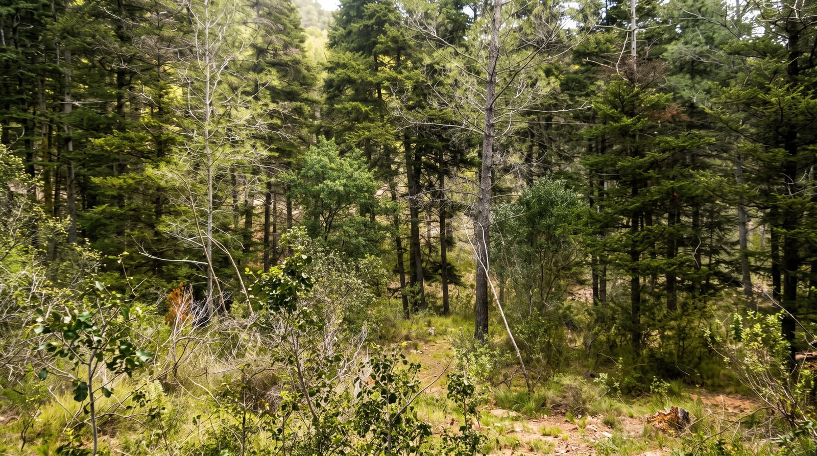
Aukštadvaris covers a stretch of glacial country of steep hills, kettle holes and some seventy lakes, moraine landscape left by the retreating ice, and its curiosity is Velnio duobė, the Devil's Pit: a conical hollow around forty metres deep and two hundred across in the forest, with wooded sides dropping to a flat floor. Its origin has been argued over, with a meteorite, a collapsed karst cavity and simple glacial melt-out all proposed, and the last is the usual explanation now. Legends account for it otherwise. Around the park are trails, the Verknė and Strėva rivers used for canoeing, an old manor and hillforts. Aukštadvaris village has a mound and the remains of a castle site.
What's there
- The Devil's Pit - a deep conical hollow in the forest.
- Kettle-hole lakes - some seventy waters in glacial hills.
- Canoe rivers - the Verknė and Strėva running through the park.
- Hillforts and mounds - the old earthworks around the villages.
When to go
May to October for walking and canoeing; autumn colour is good in the mixed woods. The pit is easier to appreciate when the leaves are off in late autumn or early spring. Winter is quiet.
Before you go
The Devil's Pit is hard to photograph and less impressive than the name suggests, especially in full leaf. Trails are lightly marked. Facilities are limited and there is little in the village. A car helps a great deal.
Nearby
Trakai lies northeast; Birštonas is southwest.
Key facts
Source: Wikidata, item Q4821667, read on 18 October 2026.
What to pack for Aukštadvaris Regional Park
Chosen from what this place is for. Tap a kit for the full checklist.
- Broken-in walking shoes or boots - Grip and ankle support matter more than looks; never hike in brand-new boots. Find on Amazon
- Quick-dry clothing - Board shorts or synthetics that shrug off spray and dry fast. Find on Amazon
- Layers + a waterproof shell - Mountain weather turns fast; a packable rain jacket saves the day. Find on Amazon
- Secure water shoes or reef boots - Grip on slippery launches and protection on rocky shores. Find on Amazon
Some links on this page are Amazon affiliate links - if you buy through them we may earn a small commission at no extra cost to you.
All packing kitsPlan your trip
Where to start if Aukštadvaris Regional Park is going on the list.
Booking links on this page are affiliate links - if you book through them we may earn a small commission at no extra cost to you. It never changes what we write about a place.
Opening times, ticket prices and seasonal closures change - check the official source before you go: official site.