Maremma Regional Park
A stretch of coast left undeveloped, with wild horses, long-horned cattle and mounted herders called butteri.
Updated 16 October 2026

AI illustration
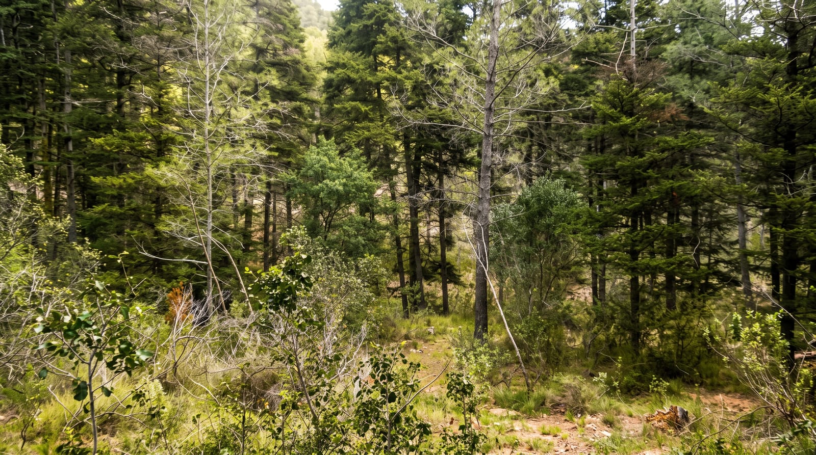
Created in 1975 as Tuscany's first regional park, this protects the Uccellina hills, pine forest, marsh and a long undeveloped shore where most of the Tyrrhenian coast has been built over. Maremmana cattle with wide curved horns and Maremmano horses graze the plain, worked by butteri, mounted herders whose tradition is old enough that a group famously competed against Buffalo Bill's cowboys when the Wild West show toured Italy in 1890. Access is controlled: numbers are capped on some trails, several routes require a guide, and in summer fire risk closes parts of the park entirely.
Background
Also called Uccellina Park, the protected area runs along the coast from Principina a Mare to Talamone in the province of Grosseto, reaching inland as far as the Livorno-Roma railway. It covers 9,000 hectares, with a further 8,500 hectares of open land around its edges, and falls within three municipalities, Grosseto, Orbetello and Magliano in Toscana. The final stretch of the river Ombrone flows through it. The Uccellina Mountains climb to 417 metres at Poggio Lecci, the park also takes in the marsh area of Trappola, and the shoreline alternates between sand and steep cliffs.
Source: Wikipedia, "Maremma Regional Park"
What's there
- The butteri - mounted herders working the cattle on the plain.
- The Maremmana cattle - a long-horned breed grazing the marshes.
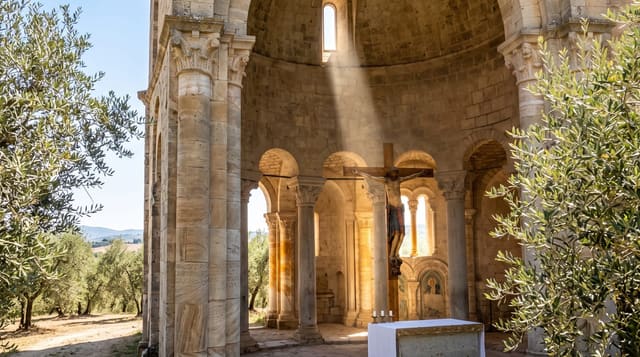
- The Uccellina hills - wooded ridges with ruined watchtowers and an abbey.
- The undeveloped shore - long beaches with no buildings behind them.
When to go
April to June and September to October; summer brings fire closures and capped numbers. Some trails need a guide and booking. Spring has the best birdlife.
Before you go
Entry is regulated with visitor caps, and the popular trails book out. Buses to the trailheads run on a schedule. Summer closures can cancel plans at short notice.
Nearby
Monte Argentario lies south; Grosseto is north.
Key facts
Source: Wikidata, item Q918575, read on 18 October 2026.
What to pack for Maremma Regional Park
Chosen from what this place is for. Tap a kit for the full checklist.
- Broken-in walking shoes or boots - Grip and ankle support matter more than looks; never hike in brand-new boots. Find on Amazon
- Reef-safe sunscreen - High SPF that will not bleach the coral you are swimming over. Find on Amazon
- Binoculars - The single best wildlife tool - even a compact pair transforms a sighting. Find on Amazon
- Layers + a waterproof shell - Mountain weather turns fast; a packable rain jacket saves the day. Find on Amazon
Some links on this page are Amazon affiliate links - if you buy through them we may earn a small commission at no extra cost to you.
All packing kitsPlan your trip
Where to start if Maremma Regional Park is going on the list.
Booking links on this page are affiliate links - if you book through them we may earn a small commission at no extra cost to you. It never changes what we write about a place.
Opening times, ticket prices and seasonal closures change - check the official source before you go: official site.