Mount Ololokwe
A flat-topped massif sacred to the Samburu, rising abruptly from the northern plains with a summit hike to its edge.
Updated 21 October 2026
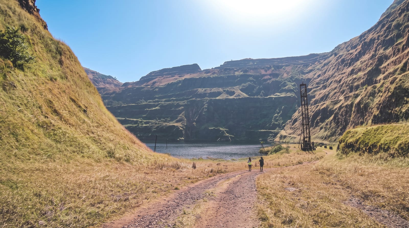
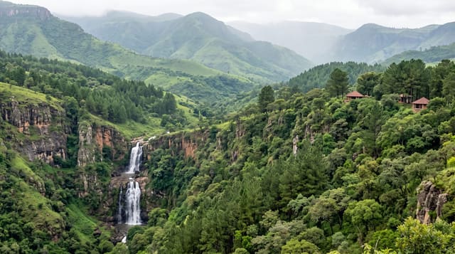
Ololokwe, also called Sabachi, is the landmark of northern Kenya: a table mountain with sheer red cliffs rising around a thousand metres from the plain, visible for a very long way along the road north from Isiolo, and sacred to the Samburu, who hold ceremonies on and around it. The climb takes three to four hours up a steep path through scrub and then cycad and cedar forest to a flat summit plateau, where the ground runs out at a cliff edge with an enormous view over the Ewaso Ng'iro plains, Samburu reserve and the mountains beyond. Camping on top for sunrise is the classic way to do it. The mountain is community-owned and hikes are arranged through local guides, whose fees support the conservancy; going without one is neither permitted nor sensible.
The landscape
- The cliff edge - the summit plateau ending in a thousand-metre drop.
- The plains view - Ewaso Ng'iro country and mountains from the top.
- Summit forest - cycads and cedar on the plateau, unexpected after the climb.
- The red cliffs - the massif seen from the road below.
When to go
The dry months for the climb; the path is slippery and the heat oppressive in the rains. Start before dawn or camp on top, since the ascent in midday sun is punishing. Nights on the summit are cold and windy.
Practical notes
The climb is steep and hot with no water on the route, and people underestimate it. A local guide is required and worth having. There are no facilities on the mountain; camping means carrying everything including water. Travel plans in the north are best confirmed locally.
Nearby
Samburu and Buffalo Springs reserves lie south; Marsabit is far north.
Key facts
Source: Wikidata, item Q27192056, read on 18 October 2026.
What to pack for Mount Ololokwe
Chosen from what this place is for. Tap a kit for the full checklist.
- Broken-in walking shoes or boots - Grip and ankle support matter more than looks; never hike in brand-new boots. Find on Amazon
- Layers for big temperature swings - Warm sun by day, near-freezing at night, even near the equator. Find on Amazon
- Modest clothing - Shoulders and knees covered - the single most common requirement. Find on Amazon
- Shelter suited to the place - Tent, tarp or hut booking - match it to the terrain and rules. Find on Amazon
Some links on this page are Amazon affiliate links - if you buy through them we may earn a small commission at no extra cost to you.
All packing kitsPlan your trip
Where to start if Mount Ololokwe is going on the list.
Booking links on this page are affiliate links - if you book through them we may earn a small commission at no extra cost to you. It never changes what we write about a place.
Opening times, ticket prices and seasonal closures change - check the official source before you go: official site.