Mount Kulal
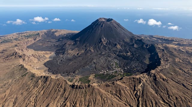
A forested volcano split by a deep gorge above the eastern shore of Lake Turkana, a UNESCO biosphere reserve.
Updated 21 October 2026
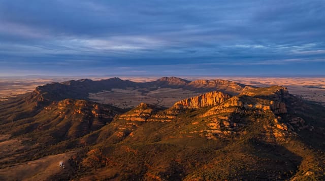
Kulal rises to around 2,300 metres directly above the desert on the eastern side of Lake Turkana, and like Marsabit it traps enough moisture to hold cloud forest on its ridges while the country below is bare lava and sand. A deep gorge, El Kajarta, cuts the mountain almost in two, so the massif reads as two summits joined by a narrow ridge. The forest holds endemic and near-endemic species, including the Kulal white-eye, a bird found nowhere else, and the mountain was designated a UNESCO biosphere reserve in 1978. Samburu and Rendille communities live on the slopes, grazing livestock and farming small plots at Gatab, where a mission and airstrip sit high on the mountain. The views from the rim, down to the jade water of Turkana on one side and over the Chalbi on the other, are the reason people make the effort.
What's there
- El Kajarta gorge - the deep cleft splitting the mountain.
- Cloud forest - green woodland above the desert.
- Turkana views - the jade lake far below to the west.
- Gatab - the high settlement and mission on the mountain.
When to go
Dry seasons for the tracks; the mountain roads are steep and slippery when wet. It is cold and misty on top compared with the furnace below, and warm clothing is needed. Guides and vehicles are arranged in Loiyangalani.
Practical notes
Access is difficult: steep rough tracks needing a capable 4x4 and a driver who knows them, with no signage. There is no tourist accommodation; camping or mission hospitality are the options. Supplies must be carried. This is remote travel and arrangements should be made locally with people who know current conditions.
Nearby
Loiyangalani and Lake Turkana lie below; the Chalbi desert is east.
Key facts
Source: Wikidata, item Q1102979, read on 18 October 2026.
What to pack for Mount Kulal
Chosen from what this place is for. Tap a kit for the full checklist.
- Broken-in walking shoes or boots - Grip and ankle support matter more than looks; never hike in brand-new boots. Find on Amazon
- Loose, light, long clothing - Covering up beats bare skin in the desert - and locals dress this way for a reason. Find on Amazon
- Layers for big temperature swings - Warm sun by day, near-freezing at night, even near the equator. Find on Amazon
- Shelter suited to the place - Tent, tarp or hut booking - match it to the terrain and rules. Find on Amazon
Some links on this page are Amazon affiliate links - if you buy through them we may earn a small commission at no extra cost to you.
All packing kitsPlan your trip
Where to start if Mount Kulal is going on the list.
Booking links on this page are affiliate links - if you book through them we may earn a small commission at no extra cost to you. It never changes what we write about a place.
Opening times, ticket prices and seasonal closures change - check the official source before you go: official site.