Cherangani Hills
A long range of rolling highland ridges and forest between the Rift and the western plateau, walked rather than driven.
Updated 21 October 2026
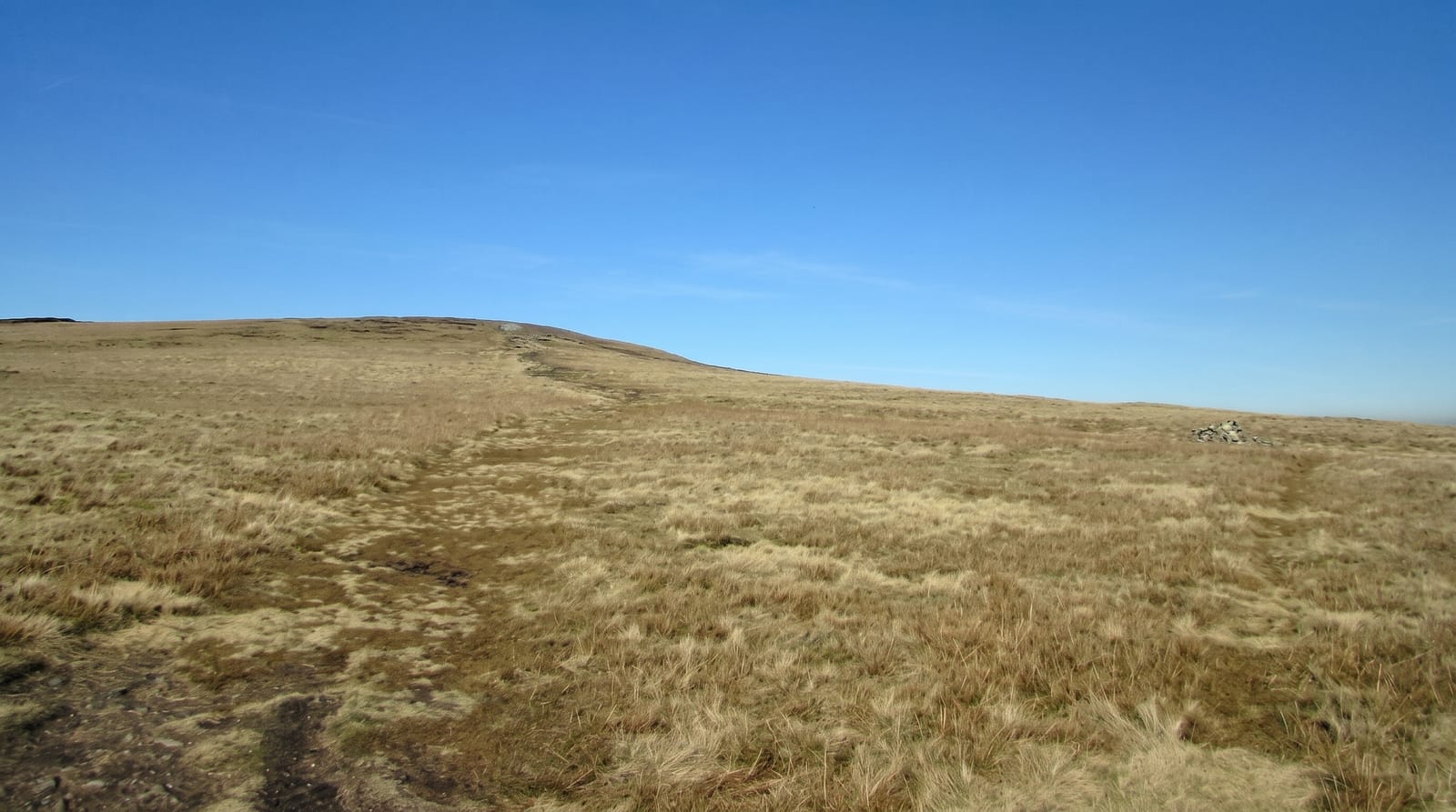
The Cheranganis run along the western wall of the Rift, an unusual range in that they are not volcanic but folded ancient rock, with rolling grassy tops rather than dramatic peaks and indigenous forest in the valleys. The high points, among them Nakugen at about 3,530 metres, the highest, and Chemnirot, Chepkotet and Karelachgelat, rise above 3,300 metres, and the walking between them is open and easy underfoot with enormous views: down into the Kerio valley on one side and out over the Trans Nzoia plains on the other. The range is farmed and settled to a surprising altitude, with Marakwet and Pokot villages, terraced fields and a system of irrigation furrows cut along the hillsides that has been maintained communally for generations. Trekking here means village-to-village walking with local guides rather than lodges and marked trails.
What's there
- Rolling grassy tops - open high ground with long views both ways.
- Indigenous forest - patches of old woodland in the valleys.
- Irrigation furrows - the community-maintained channels along the slopes.
- Village walking - farms, terraces and settlements at high altitude.
When to go
Dry seasons for walking; paths become mud in the rains and cloud sits on the tops. Nights are cold at this altitude. Trekking needs a guide arranged in Kitale or Iten, since routes are unmarked and cross private and community land.
Things to know
There is no trekking infrastructure: no huts, no marked paths, no rescue. Accommodation is camping or village homestays arranged ahead. Roads into the range are rough and often impassable in the wet. This is walking country for the self-sufficient rather than a hiking destination.
Nearby
Iten and the Kerio valley lie south; Mount Elgon is west.
Key facts
Source: Wikidata, item Q8526587, read on 18 October 2026.
What to pack for Cherangani Hills
Chosen from what this place is for. Tap a kit for the full checklist.
- Broken-in walking shoes or boots - Grip and ankle support matter more than looks; never hike in brand-new boots. Find on Amazon
- Layers for big temperature swings - Warm sun by day, near-freezing at night, even near the equator. Find on Amazon
- Shelter suited to the place - Tent, tarp or hut booking - match it to the terrain and rules. Find on Amazon
- Layers + a waterproof shell - Mountain weather turns fast; a packable rain jacket saves the day. Find on Amazon
Some links on this page are Amazon affiliate links - if you buy through them we may earn a small commission at no extra cost to you.
All packing kitsPlan your trip
Where to start if Cherangani Hills is going on the list.
Booking links on this page are affiliate links - if you book through them we may earn a small commission at no extra cost to you. It never changes what we write about a place.
Opening times, ticket prices and seasonal closures change - check the official source before you go: official site.