Mount Bandai
A volcano with a missing north face, climbed in a day, standing over the lakes its own collapse created.
Updated 21 October 2026
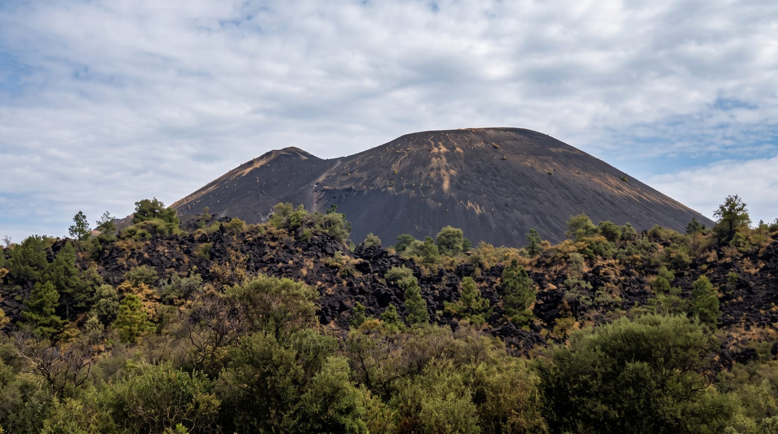
From the south Bandai is a neat cone of 1,816 metres above Lake Inawashiro and was nicknamed Aizu Fuji for it. From the north it is a hole: on 15 July 1888 the northern flank failed catastrophically in a steam-driven eruption, removing one of the summits and burying villages under a debris avalanche that dammed the rivers and made the Urabandai lake district. Around 477 people were killed, and the event became one of the first volcanic disasters studied with modern scientific method, which is part of why it is known internationally. The climb from Happodai takes about three hours up through beech to the crater rim, with the raw amphitheatre of the 1888 collapse open below on one side and Inawashiro spread out on the other. The Bandai Gold Line, a toll-free road since 2013, puts a trailhead high on the mountain and shortens the day considerably.
What's there
- Two mountains in one - a neat cone from the south, an open collapse from the north.
- The 1888 amphitheatre - the scar of the flank failure below the crater rim.
- Lake Inawashiro - spread out to the south from the summit.
- A three-hour climb - beech forest to rim from the Happodai trailhead.
When to go
June to October. A day. Early starts for cloud-free summits.
Practical notes
The mountain makes its own cloud and summit views are often lost by midday. There is no water on the trails. The Gold Line road closes for winter. Autumn weekends fill the trailhead car parks early.
Nearby
Goshiki-numa is on the northern side; Lake Inawashiro is south.
Key facts
Source: Wikidata, item Q714605, read on 18 October 2026.
What to pack for Mount Bandai
Chosen from what this place is for. Tap a kit for the full checklist.
- Broken-in walking shoes or boots - Grip and ankle support matter more than looks; never hike in brand-new boots. Find on Amazon
- Layers + a waterproof shell - Mountain weather turns fast; a packable rain jacket saves the day. Find on Amazon
- Daypack with rain cover - 20-30 litres holds water, snacks, layers and a first-aid kit. Find on Amazon
- Offline maps + a power bank - Download the trail before you lose signal; carry backup charge. Find on Amazon
Some links on this page are Amazon affiliate links - if you buy through them we may earn a small commission at no extra cost to you.
All packing kitsPlan your trip
Where to start if Mount Bandai is going on the list.
Booking links on this page are affiliate links - if you book through them we may earn a small commission at no extra cost to you. It never changes what we write about a place.
Opening times, ticket prices and seasonal closures change - check the official source before you go: official site.