Mount Brandon
The highest mountain in Ireland outside the Reeks, and a pilgrimage mountain climbed for well over a thousand years.
Updated 21 October 2026
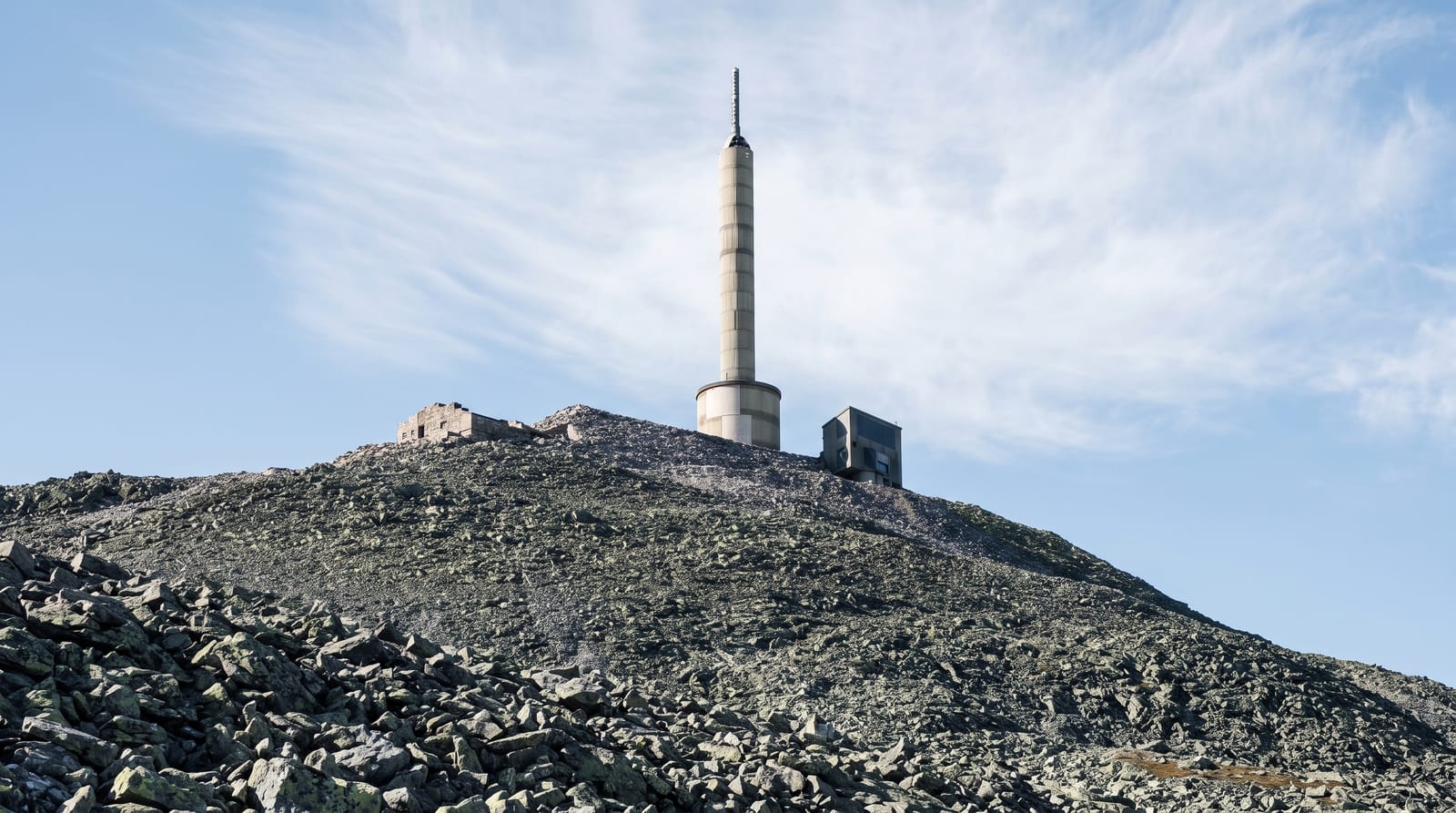
Brandon rises to 952 metres at the western end of the Dingle peninsula, the highest ground in Ireland outside the MacGillycuddy's Reeks. Its eastern face is the dramatic side: a wall of cliffs above a chain of small paternoster lakes in a corrie system carved by ice, reached by the Faha ridge route, which is the finest walk on the peninsula and also the one that gets people into trouble. The western Saint's Road is the pilgrim path, a gentler grassy climb marked with crosses, associated with Brendan the Navigator, who is said to have prayed on the summit before his Atlantic voyage; pilgrimages still climb it, particularly around the end of June. There is a ruined oratory and a cross at the top. Cloud sits on Brandon more often than not, the Faha route crosses steep ground above the corrie, and rescue callouts here are frequent.
What you'll find
- The eastern corrie - cliffs above a chain of small paternoster lakes.
- The Saint's Road - the marked pilgrim path up the western side.
- The summit remains - a ruined oratory and a cross at 952 metres.
- The Faha ridge - the dramatic route, and the demanding one.
When to go
May to September. The pilgrimage climbs happen around late June. Cloud covers the summit on most days; wait for a clear forecast.
Good to know
The Faha route crosses steep exposed ground above the corrie and is a common rescue callout - it is not a walk for poor visibility or inexperience. The western path is easier but long and featureless in cloud. No facilities on either route.
Nearby
Cloghane and Brandon Bay are east; the Conor Pass crosses the peninsula south.
Key facts
Source: Wikidata, item Q1478911, read on 18 October 2026.
What to pack for Mount Brandon
Chosen from what this place is for. Tap a kit for the full checklist.
- Broken-in walking shoes or boots - Grip and ankle support matter more than looks; never hike in brand-new boots. Find on Amazon
- Layers for big temperature swings - Warm sun by day, near-freezing at night, even near the equator. Find on Amazon
- Modest clothing - Shoulders and knees covered - the single most common requirement. Find on Amazon
- Layers + a waterproof shell - Mountain weather turns fast; a packable rain jacket saves the day. Find on Amazon
Some links on this page are Amazon affiliate links - if you buy through them we may earn a small commission at no extra cost to you.
All packing kitsPlan your trip
Where to start if Mount Brandon is going on the list.
Booking links on this page are affiliate links - if you book through them we may earn a small commission at no extra cost to you. It never changes what we write about a place.
Opening times, ticket prices and seasonal closures change - check the official source before you go: official site.