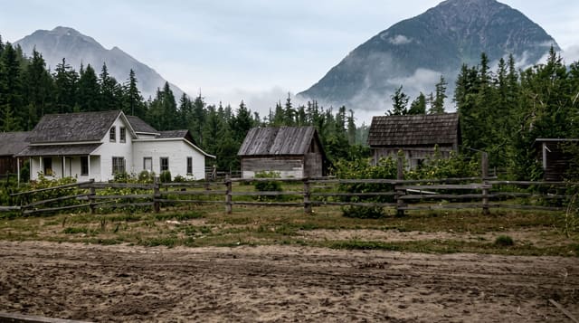
Lough Inagh Valley
A glacial trough between the Twelve Bens and the Maumturks, with a road down the middle and almost nothing built on it.
Updated 28 August 2026
The Inagh valley is a straight, deep, ice-cut trench running north to south between two mountain ranges - the Twelve Bens on the western side, the Maumturks on the eastern - with Lough Inagh and Derryclare Lough filling most of the floor. The R344 runs its length, and the drive is the most direct view of Connemara's mountain country available without walking: bare quartzite slopes rising straight from the water, scree, bog and no settlement to speak of beyond a lodge and a few houses. The rivers here are noted salmon and sea trout fisheries and are privately managed. Several of the routes onto both ranges start from the valley road, including the Western Way long-distance path. There are no shops, no fuel and very limited parking - just a handful of lay-bys, which fill quickly when the light is good.
What's there
- The trench - a straight glacial valley between two ranges.
- The lakes - Lough Inagh and Derryclare filling the floor.
- The Bens and Maumturks - bare quartzite rising from the water on both sides.
- The emptiness - almost no building along the whole length.
When to go
April to October. Still mornings give reflections in the lakes, which is what most photographers come for. The valley holds cloud and rain frequently.
Things to know
A drive-through rather than a destination - there is nowhere to stop except a few lay-bys, and no facilities at all. The fishing is private. Midges are severe on still evenings by the water.
Nearby
Kylemore Abbey is north; Recess and Roundstone are south.
What to pack for Lough Inagh Valley
Chosen from what this place is for. Tap a kit for the full checklist.
- Broken-in walking shoes or boots - Grip and ankle support matter more than looks; never hike in brand-new boots. Find on Amazon
- Travel rod + reel - A packable multi-piece rod fits in a case and covers most holiday fishing. Find on Amazon
- Layers + a waterproof shell - Mountain weather turns fast; a packable rain jacket saves the day. Find on Amazon
- A small tackle selection - Hooks, weights, line and a few lures or flies suited to local waters. Find on Amazon
Some links on this page are Amazon affiliate links - if you buy through them we may earn a small commission at no extra cost to you.
All packing kitsPlan your trip
Where to start if Lough Inagh Valley is going on the list.
Booking links on this page are affiliate links - if you book through them we may earn a small commission at no extra cost to you. It never changes what we write about a place.
Opening times, ticket prices and seasonal closures change - check the official source before you go: official site.