Keem Bay
A horseshoe of white sand at the end of the Achill road, enclosed by cliffs, once the centre of a basking shark fishery.
Updated 28 August 2026
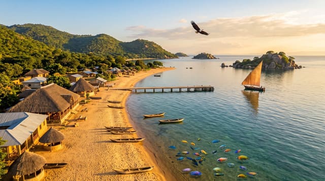
Keem is at the far western end of Achill Island, reached by a narrow road cut into the side of a cliff with a drop on the seaward side and a car park at the end. The bay is a deep horseshoe of pale sand enclosed by Croaghaun and Moyteoge Head, and the water is shallow and clear enough to read the bottom on a bright day. From the 1950s to the mid 1970s this was the base of a basking shark fishery: the sharks came into the bay in numbers each spring, were netted from currachs and processed for liver oil, and around twelve thousand were taken in twenty years. The fishery collapsed with the population and the sharks are now protected. A watchtower from the Napoleonic era stands on the headland above. Lifeguards cover the beach in high summer; outside that there is a rip along the eastern side.
Highlights
- The enclosed bay - white sand between two headlands, clear shallow water.
- The cliff road - the narrow approach with the drop below.
- The shark fishery site - where twelve thousand basking sharks were taken.
- The signal tower - Napoleonic-era remains on the headland above.
When to go
May to September; lifeguards in July and August. Basking sharks pass offshore in early summer and are occasionally seen from the headland. The road is unpleasant in fog.
Things to know
The access road is narrow with an unguarded drop and the small car park fills by late morning in summer. A rip runs along the eastern side. Facilities are minimal and seasonal.
Nearby
Keel and the Minaun Cliffs are east; Croaghaun's sea cliffs are north above the bay.
Key facts
Source: Wikidata, item Q6382837, read on 18 October 2026.
What to pack for Keem Bay
Chosen from what this place is for. Tap a kit for the full checklist.
- Reef-safe sunscreen - High SPF that will not bleach the coral you are swimming over. Find on Amazon
- Quick-dry towel - A microfibre towel packs small and dries in minutes. Find on Amazon
- Water shoes - Protect your feet on rocky entries, hot sand and sea-urchin spines. Find on Amazon
- Dry bag - Keeps phone, cash and keys safe while you are in the water. Find on Amazon
Some links on this page are Amazon affiliate links - if you buy through them we may earn a small commission at no extra cost to you.
All packing kitsPlan your trip
Where to start if Keem Bay is going on the list.
Booking links on this page are affiliate links - if you book through them we may earn a small commission at no extra cost to you. It never changes what we write about a place.
Opening times, ticket prices and seasonal closures change - check the official source before you go: official site.