Inishturk
A small island fourteen kilometres off Mayo with fewer than sixty residents, high cliffs and almost no visitors.
Updated 19 October 2026
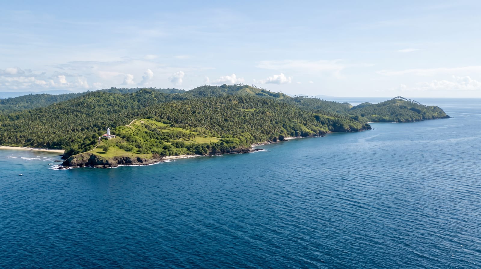
Inishturk lies about fourteen kilometres off the Mayo coast, between Clare Island and Inishbofin, and has a population that has fallen below sixty. It is five kilometres by two, rising to 191 metres, with high cliffs on the exposed western side and a small sheltered harbour on the east where the settlement is. Two waymarked loop walks cover most of it - one along the western cliffs, one over the northern hill - and there is a beach at Tranaun, a community centre, one pub and a handful of places to stay. The island supports a small fishing fleet. What it does not have is any real tourism infrastructure, which is precisely why the people who go there do. The crossing is longer and more exposed than to the closer islands and cancels readily; getting stranded for a day or two is a normal outcome rather than an unlucky one.
History
The name means "wild boar island". Inishturk has been lived on at times since 4,000 BCE and permanently since at least 1700, some of its recent families descend from people who left Inishark, and a Martello tower was built on its western coast around 1805, during the Napoleonic Wars (Wikipedia, Inishturk).
Highlights
- The western cliffs - high and exposed, on one of the two loop walks.
- The harbour village - the sheltered eastern side where everyone lives.
- The scale of the community - fewer than sixty residents.
- Tranaun beach - the small sandy cove on the eastern shore.
When to go
May to September. Ferry frequency drops sharply out of season and the crossing cancels in swell more often than the shorter routes.
Practical notes
Very limited accommodation, one pub, and no shop worth the name - bring what you need. Cancellations are common; plan for an extra night. Cliff walks are unfenced and exposed.
Nearby
Clare Island is north-east; Inishbofin is south in Galway waters.
Key facts
Source: Wikidata, item Q1585916, read on 18 October 2026.
What to pack for Inishturk
Chosen from what this place is for. Tap a kit for the full checklist.
- Travel rod + reel - A packable multi-piece rod fits in a case and covers most holiday fishing. Find on Amazon
- Reef-safe sunscreen - High SPF that will not bleach the coral you are swimming over. Find on Amazon
- A small tackle selection - Hooks, weights, line and a few lures or flies suited to local waters. Find on Amazon
- Quick-dry towel - A microfibre towel packs small and dries in minutes. Find on Amazon
Some links on this page are Amazon affiliate links - if you buy through them we may earn a small commission at no extra cost to you.
All packing kitsPlan your trip
Where to start if Inishturk is going on the list.
Booking links on this page are affiliate links - if you book through them we may earn a small commission at no extra cost to you. It never changes what we write about a place.
Opening times, ticket prices and seasonal closures change - check the official source before you go: official site.