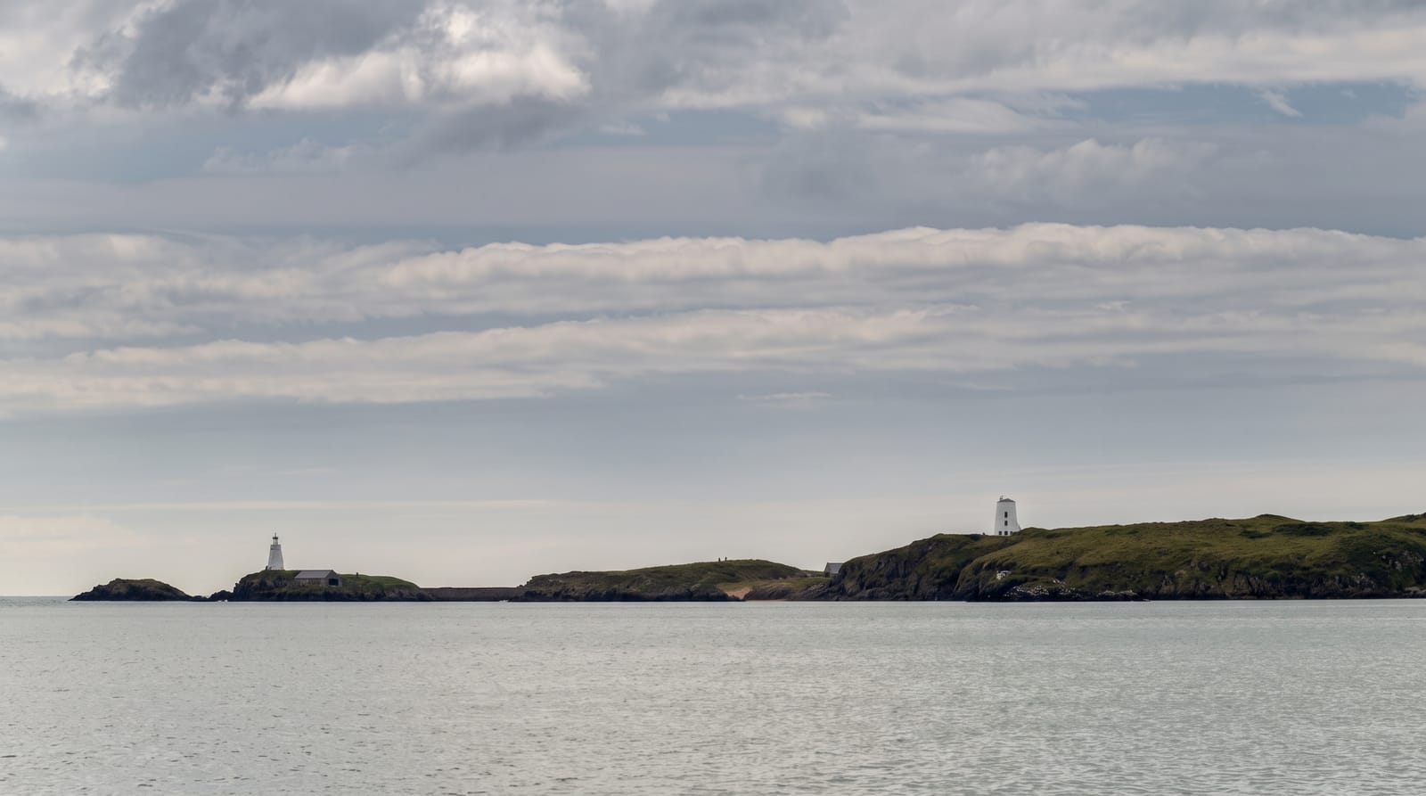
Omey Island
A tidal island you drive or walk across a sand strand to reach, with a couple of hours of margin before the sea returns.
Updated 19 October 2026
Omey is separated from the Connemara mainland by a strand that dries at low water, and the crossing is marked by poles across the sand - cars use it, which is startling the first time you see it. The window is roughly a few hours either side of low tide and the sea returns quickly across flat ground; vehicles are caught most years and the strand is not a place to misjudge. On the island are the remains of Teampall Feichin, a small early church that was buried in sand for centuries and excavated in the 1990s, a holy well, a freshwater lake, and machair grassland with rabbits and grazing horses. The last permanent resident died in 2017 and the island is now uninhabited, though it fills for a horse racing meeting on the strand in August. There are no facilities of any kind and no shelter.
History
The name comes from Iomaidh Feichín, for the monastery and settlement said to have been founded here by St Feichin. In the early to mid-1990s archaeologists from University College Dublin studied the monastic site, believed to date from the early 6th century, and found one of the few known burials of a woman in a monastic burial ground (Wikipedia, Omey Island).
The landscape
- The tidal crossing - marked by poles across sand that floods twice a day.
- Teampall Feichin - the early church, buried in sand and excavated in the 1990s.
- The machair - grassland with horses, rabbits and a freshwater lake.
- The emptiness - uninhabited since 2017.
When to go
May to September, and only within the safe tidal window - check the tables and local advice before crossing, every time. August brings the horse races on the strand.
Good to know
The tide catches vehicles and walkers most years - the crossing is genuinely dangerous outside the window. No facilities, shelter, water or phone reliability on the island. The strand is soft in places.
Nearby
Claddaghduff and Cleggan are on the mainland; Clifden is south-east.
Key facts
Source: Wikidata, item Q2023356, read on 18 October 2026.
What to pack for Omey Island
Chosen from what this place is for. Tap a kit for the full checklist.
- Broken-in walking shoes or boots - Grip and ankle support matter more than looks; never hike in brand-new boots. Find on Amazon
- Modest clothing - Shoulders and knees covered - the single most common requirement. Find on Amazon
- Layers + a waterproof shell - Mountain weather turns fast; a packable rain jacket saves the day. Find on Amazon
- A scarf or shawl - To cover the head or shoulders on entry; women especially at mosques. Find on Amazon
Some links on this page are Amazon affiliate links - if you buy through them we may earn a small commission at no extra cost to you.
All packing kitsPlan your trip
Where to start if Omey Island is going on the list.
Booking links on this page are affiliate links - if you book through them we may earn a small commission at no extra cost to you. It never changes what we write about a place.
Opening times, ticket prices and seasonal closures change - check the official source before you go: official site.