Capul Island
A Northern Samar island with a fortress church, an old lighthouse and a language spoken nowhere else.
Updated 21 October 2026
AI illustration
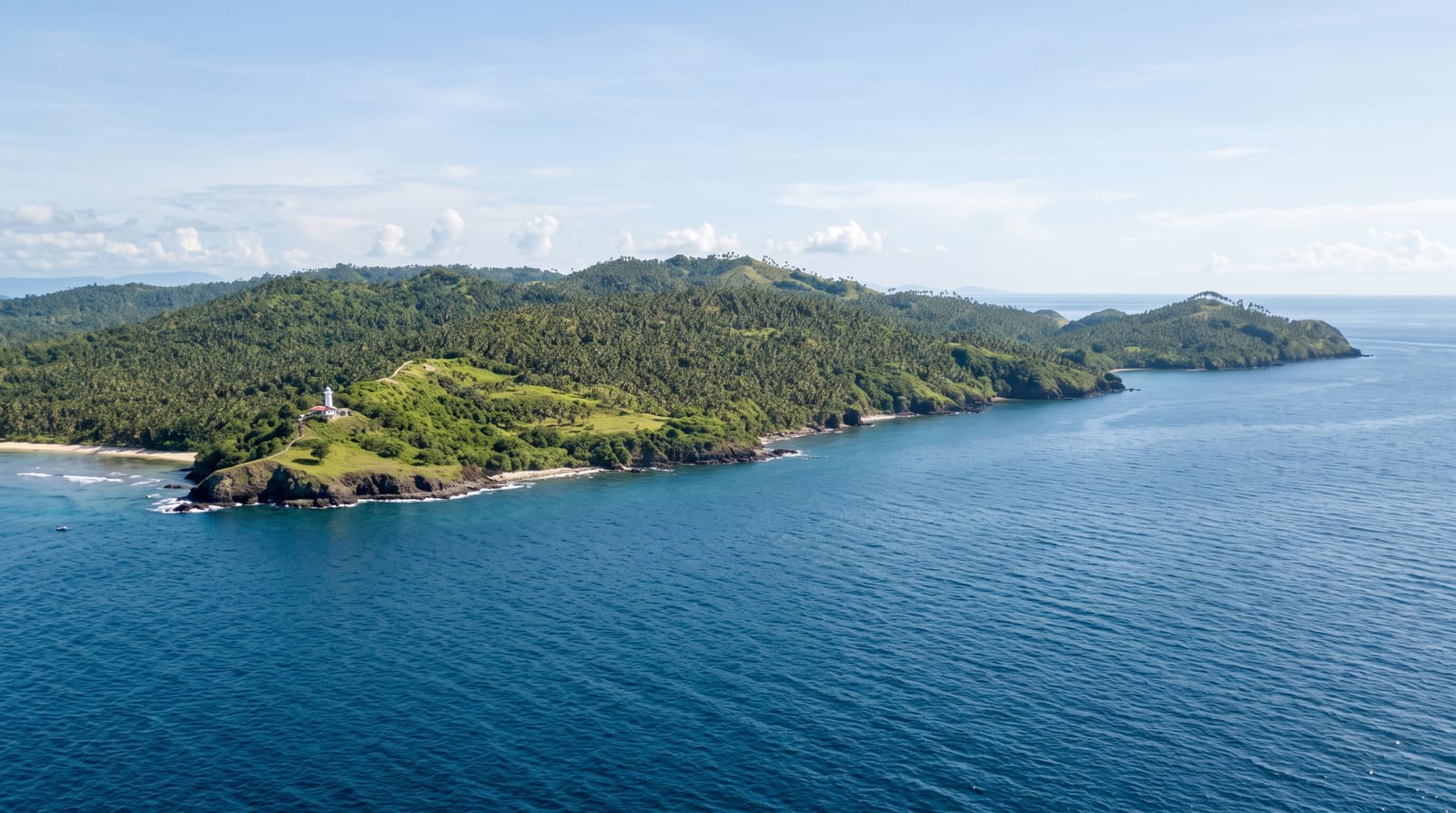
Capul sits in the San Bernardino Strait between Samar and Luzon, on the route the Manila galleons used, and its history follows from that position: the Spanish built a fortified church here in the 1600s, with the church enclosed by defensive walls and bastions against raids, and it survives as one of the more complete fortress-church complexes in the country. On the island's northern point stands an old lighthouse that guided ships through the strait, weathered and standing over cliffs where the strait's current runs hard. The island's other distinction is linguistic - the people of Capul speak Inabaknon, a language unrelated to the Visayan tongues around it and belonging instead to the Sama-Bajau group, which local oral history explains by a migration from Balabac, off southern Palawan, in the 1300s. Boats cross from Allen in about an hour, accommodation is homestays, and visitors are few.
History
Oral history says the Abaknon came from the island of Balabac off southern Palawan, a Sama-Bajau people who, after Balabac was annexed by the Sultanate of Sulu in the 1300s, sailed north under a datu named Abak and settled on Capul. A lighthouse here guided the galleons through the San Bernardino Strait, the island served as capital of the province of Samar from 1848 to 1852, and on 18 June 1966 several barrios were separated to form San Vicente (Wikipedia, Capul).
Highlights
- The fortress church - walls and bastions around the seventeenth-century church.
- The lighthouse - the old tower on the northern cliffs.
- The strait - the galleon route's current below.
- The island villages - Inabaknon-speaking communities.
When to go
March to June for the calmest crossings; the San Bernardino Strait is rough and boats are cancelled readily. Weekdays are quiet everywhere.
Before you go
Access depends entirely on sea conditions. Accommodation is homestays and there is little to eat out. Bring cash - banking is on the mainland. The lighthouse is a ruin, not a maintained site.
Nearby
Allen and the Northern Samar coast are across the strait; Matnog and Sorsogon are north on Luzon.
What to pack for Capul Island
Chosen from what this place is for. Tap a kit for the full checklist.
- Reef-safe sunscreen - High SPF that will not bleach the coral you are swimming over. Find on Amazon
- Quick-dry towel - A microfibre towel packs small and dries in minutes. Find on Amazon
- Water shoes - Protect your feet on rocky entries, hot sand and sea-urchin spines. Find on Amazon
- Dry bag - Keeps phone, cash and keys safe while you are in the water. Find on Amazon
Some links on this page are Amazon affiliate links - if you buy through them we may earn a small commission at no extra cost to you.
All packing kitsPlan your trip
Where to start if Capul Island is going on the list.
Booking links on this page are affiliate links - if you book through them we may earn a small commission at no extra cost to you. It never changes what we write about a place.
Opening times, ticket prices and seasonal closures change - check the official source before you go: official site.