Dingle Peninsula
A wild, Irish-speaking peninsula of mountains, cliffs and ancient stone huts - Slea Head Drive and a beloved harbour town in the far south-west.
Updated 4 August 2026
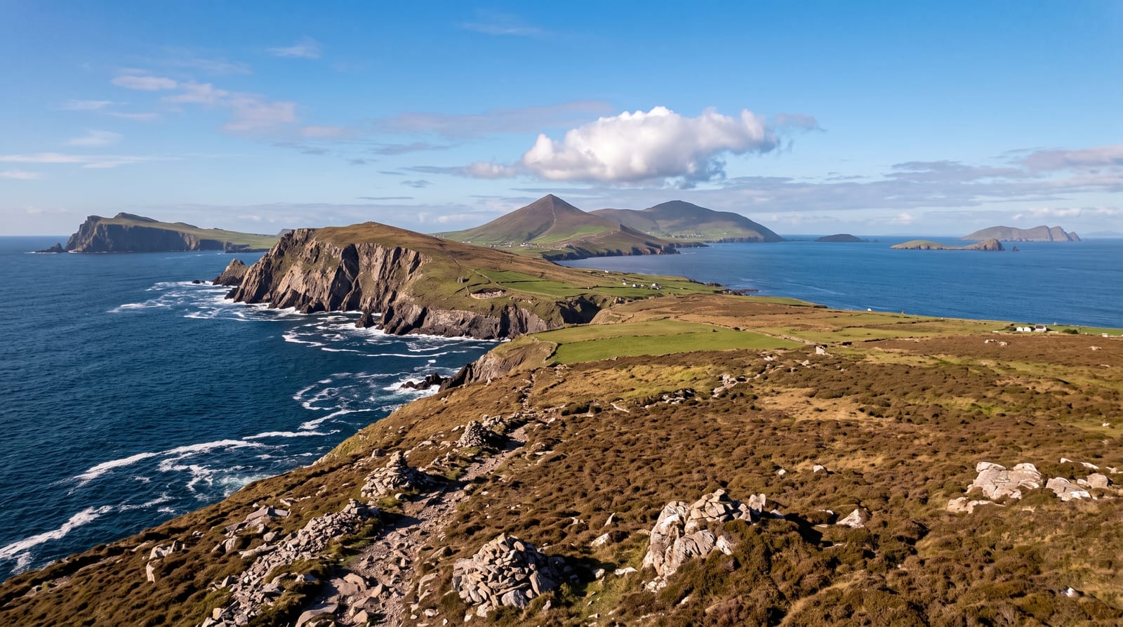
AI illustration
The Dingle Peninsula reaches into the Atlantic in the far south-west, a wild landscape of mountains, sea cliffs and green fields dotted with ancient stone huts and forts, much of it Irish-speaking. The Slea Head Drive loops its dramatic tip past the Blasket Islands, and the lively harbour town of Dingle anchors it with pubs, music and seafood.
Highlights
- Slea Head Drive - the scenic loop around the peninsula's cliff-edged tip.
- The beehive huts - the ancient dry-stone Gallarus Oratory and clochans.
- Dingle town - the colourful harbour town of pubs, music and seafood.
- The Blasket Islands - the abandoned islands off the tip and their story.
When to go
Late spring to early autumn for the mildest weather; the peninsula is beautiful and wild year-round. Slea Head Drive is best clockwise on the narrow roads.
Good to know
The roads on Slea Head are narrow and can be busy in season. The weather is famously changeable, so cloud and rain come and go. It rewards slow exploration and stops rather than rushing the loop.
Nearby
The Ring of Kerry is on the next peninsula south; Killarney is inland.
Key facts
Source: Wikidata, item Q1127558, read on 18 October 2026.
What to pack for Dingle Peninsula
Chosen from what this place is for. Tap a kit for the full checklist.
- Broken-in walking shoes or boots - Grip and ankle support matter more than looks; never hike in brand-new boots. Find on Amazon
- Shelter suited to the place - Tent, tarp or hut booking - match it to the terrain and rules. Find on Amazon
- Layers + a waterproof shell - Mountain weather turns fast; a packable rain jacket saves the day. Find on Amazon
- A warm sleeping bag + mat - Rated a little colder than you expect the nights to be. Find on Amazon
Some links on this page are Amazon affiliate links - if you buy through them we may earn a small commission at no extra cost to you.
All packing kitsPlan your trip
Where to start if Dingle Peninsula is going on the list.
Booking links on this page are affiliate links - if you book through them we may earn a small commission at no extra cost to you. It never changes what we write about a place.
Opening times, ticket prices and seasonal closures change - check the official source before you go: official site.