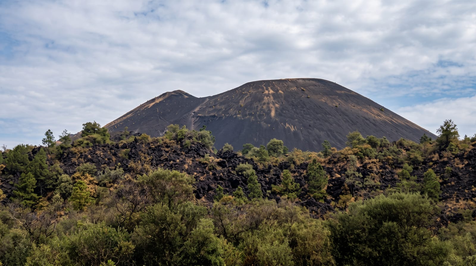
Mount Ciremai
West Java's highest mountain, a solitary cone above Cirebon with a large crater and a long hard climb.
Updated 29 August 2026
Ciremai reaches 3,078 metres and is the highest mountain in West Java, standing alone above the coastal plain near Cirebon rather than in a range, which makes it visible from a long way and gives the summit an unusually open view - the Java Sea on one side and the volcanoes of central Java on the other. The crater at the top is large and deep, around four hundred metres across. Three main routes go up, of which Linggarjati is the longest and hardest with a continuous climb of some two and a half thousand metres and no reliable water, and Palutungan and Apuy are shorter. It is a national park. Linggarjati village below has a separate historical importance: the 1946 Linggadjati Agreement between the Republic and the Netherlands was negotiated in a house there, now a museum.
The landscape
- West Java's highest point - 3,078 metres standing alone above the plain.
- A large summit crater - around four hundred metres across.
- An open two-sided view - the Java Sea and the central Java volcanoes.
- The Linggadjati house - where the 1946 agreement was negotiated, below the mountain.
When to go
May to September; overnight for sunrise. Two days.
Practical notes
The Linggarjati route is a brutal continuous climb with no water source - carry everything. Permits and registration are compulsory. The mountain closes seasonally and on fire risk. Nights are cold.
Nearby
Kuningan and Cirebon are on the plain; the Linggadjati museum is at the trailhead.
Key facts
Source: Wikidata, item Q507179, read on 18 October 2026.
What to pack for Mount Ciremai
Chosen from what this place is for. Tap a kit for the full checklist.
- Broken-in walking shoes or boots - Grip and ankle support matter more than looks; never hike in brand-new boots. Find on Amazon
- Layers for big temperature swings - Warm sun by day, near-freezing at night, even near the equator. Find on Amazon
- Shelter suited to the place - Tent, tarp or hut booking - match it to the terrain and rules. Find on Amazon
- Layers + a waterproof shell - Mountain weather turns fast; a packable rain jacket saves the day. Find on Amazon
Some links on this page are Amazon affiliate links - if you buy through them we may earn a small commission at no extra cost to you.
All packing kitsPlan your trip
Where to start if Mount Ciremai is going on the list.
Booking links on this page are affiliate links - if you book through them we may earn a small commission at no extra cost to you. It never changes what we write about a place.
Opening times, ticket prices and seasonal closures change - check the official source before you go: official site.