Kudremukh National Park
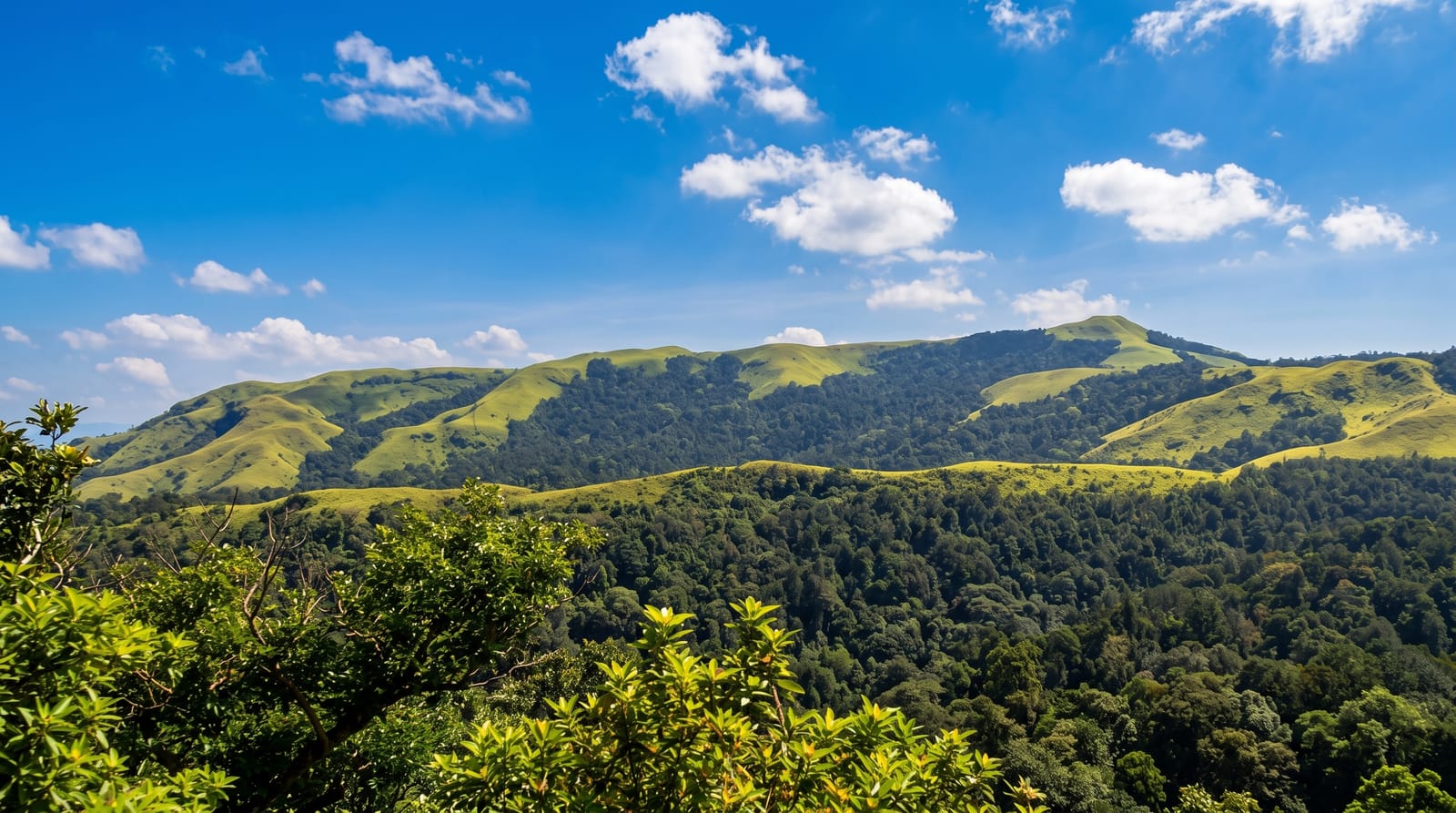
Rolling grassland ridges over shola forest in the Western Ghats, named for a peak shaped like a horse's face.
Updated 21 October 2026
AI illustration
UNESCO World Heritage
Kudremukh covers around six hundred square kilometres of the Western Ghats in a landscape unusual for India: high rolling grassland on the ridges with pockets of shola, dense stunted evergreen forest, in the folds between them, a mosaic maintained by altitude and rainfall. The peak that names it, at about 1,894 metres, is said to resemble a horse's face in profile from one angle. The park holds tiger, leopard, dhole, sambar and the lion-tailed macaque, and rivers including the Tunga, Bhadra and Nethravathi rise within it. Iron ore mining operated inside the park until it was stopped by court order in 2005.
History
The British government declared the Kudremukh region a reserved forest in 1916, to keep slash-and-burn farming from spreading deeper into the Ghats. In 1983 and 1984 the tiger expert Ullas Karanth surveyed the lion-tailed macaque in Karnataka, found that Kudremukh probably held the largest population outside the Malabar region, and proposed the area as a reserve with the macaque as its flagship; following his report, the government of Karnataka declared the national park in 1987 (Wikipedia, Kudremukh National Park).
What you'll find
- The grassland ridges - open rolling downs above pockets of shola forest.
- Kudremukh peak - the horse-faced summit reached on a long day trek.
- The river sources - the Tunga, Bhadra and Nethravathi rising in the park.
- The lion-tailed macaque - an endangered Western Ghats endemic.
When to go
October to February; the monsoon brings extreme rain and leeches, and treks are often closed. Permits are capped daily and must be obtained at the forest office at Mullodi.
Before you go
Trek permits are limited and guides compulsory; independent walking is not allowed. The summit trek is around twenty kilometres return. Leeches are constant outside the driest months. Accommodation is homestays.
Nearby
Chikmagalur lies east; Agumbe is northwest.
Key facts
Source: Wikidata, item Q123439915, read on 18 October 2026.
What to pack for Kudremukh National Park
Chosen from what this place is for. Tap a kit for the full checklist.
- Broken-in walking shoes or boots - Grip and ankle support matter more than looks; never hike in brand-new boots. Find on Amazon
- Binoculars - The single best wildlife tool - even a compact pair transforms a sighting. Find on Amazon
- Strong insect repellent - DEET or picaridin; the jungle is where bites and disease risk are highest. Find on Amazon
- Layers + a waterproof shell - Mountain weather turns fast; a packable rain jacket saves the day. Find on Amazon
Some links on this page are Amazon affiliate links - if you buy through them we may earn a small commission at no extra cost to you.
All packing kitsPlan your trip
Where to start if Kudremukh National Park is going on the list.
Booking links on this page are affiliate links - if you book through them we may earn a small commission at no extra cost to you. It never changes what we write about a place.
Opening times, ticket prices and seasonal closures change - check the official source before you go: official site.