Gangtok
Sikkim's capital on a steep ridge, with a pedestrianised main street and Kanchenjunga at the end of the view.
Updated 19 October 2026
AI illustration
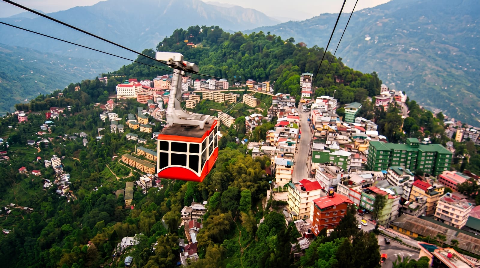
Gangtok sits at about 1,650 metres on a ridge running north to south, with the town built in terraces down both sides so that streets are stacked above each other and stairways connect them. MG Marg, the main street, is pedestrianised, paved, and kept clean under Sikkim's strict rules, which include a state-wide ban on single-use plastic and on smoking in public. Enchey and Do Drul Chorten are the town monasteries, the Namgyal Institute of Tibetology holds a serious collection of Tibetan manuscripts and thangkas, and on clear mornings Kanchenjunga closes the view to the northwest.
History
The earliest records of Gangtok date from the building of the hermitic Gangtok monastery in 1716, and it remained a small hamlet until the Enchey Monastery, built in 1840, made it a pilgrimage centre. In 1894 the Chogyal Thutob Namgyal moved the capital of Sikkim here from Tumlong and built a new palace and state buildings, and in the early 20th century Gangtok became a major stop on the trade route between Lhasa and Calcutta (Wikipedia, Gangtok).
Highlights
- MG Marg - the paved pedestrian main street through the centre.
- Namgyal Institute - Tibetan manuscripts, thangkas and ritual objects.
- Do Drul Chorten - the stupa ringed by prayer wheels above the town.
- Kanchenjunga - the peak visible from ridge viewpoints on clear mornings.
When to go
March to May for rhododendron and October to December for the clearest peaks; the monsoon brings landslides that close the road from Siliguri for days at a time.
What to expect
Areas beyond Gangtok, including Tsomgo and north Sikkim, require permits arranged through registered agents, and foreign nationals face additional restrictions. Landslides close roads regularly. The town is steep and walking is tiring.
Nearby
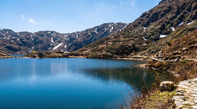
Rumtek lies southwest; Tsomgo is east on the Nathu La road.
Key facts
Source: Wikidata, item Q186141, read on 18 October 2026.
What to pack for Gangtok
Chosen from what this place is for. Tap a kit for the full checklist.
- Strong insect repellent - DEET or picaridin; the jungle is where bites and disease risk are highest. Find on Amazon
- Comfortable walking shoes - Sightseeing means kilometres of pavement and cobbles daily. Find on Amazon
- Modest clothing - Shoulders and knees covered - the single most common requirement. Find on Amazon
- Long, light, quick-dry clothing - Covers skin from insects and sun without cooking you in the humidity. Find on Amazon
Some links on this page are Amazon affiliate links - if you buy through them we may earn a small commission at no extra cost to you.
All packing kitsPlan your trip
Where to start if Gangtok is going on the list.
Booking links on this page are affiliate links - if you book through them we may earn a small commission at no extra cost to you. It never changes what we write about a place.
Opening times, ticket prices and seasonal closures change - check the official source before you go: official site.