Markarfljotsgljufur
A canyon up to two hundred metres deep that most Laugavegur walkers pass without turning aside to see.
Updated 30 August 2026
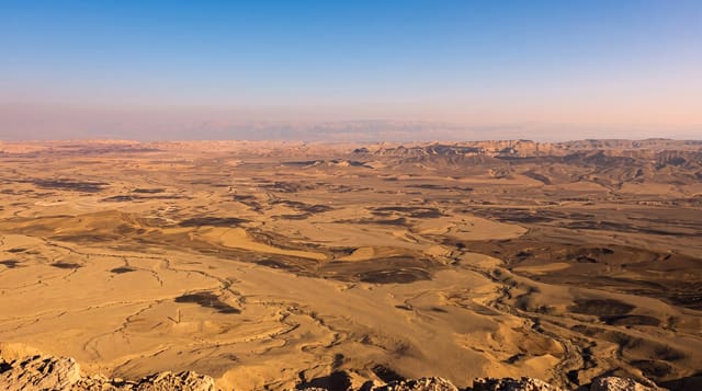
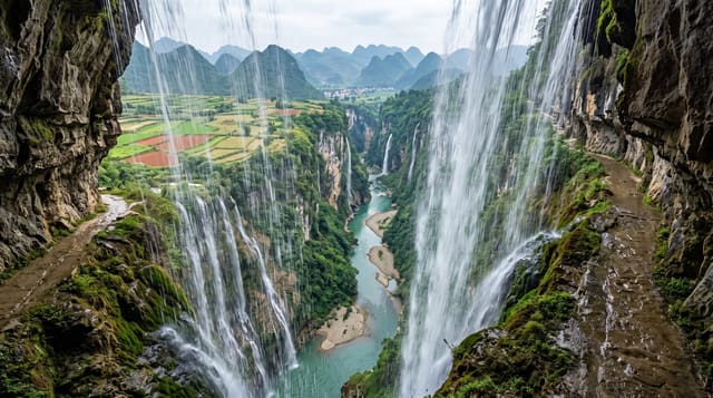
The Markarfljot has cut a canyon through soft highland rock that runs for close to twenty kilometres and reaches around two hundred metres deep, with walls of layered tephra and palagonite in browns and greys. The river below is heavy with glacial silt off Myrdalsjokull and Eyjafjallajokull, and in flood it moves an enormous volume - the 2010 Eyjafjallajokull eruption sent meltwater down this channel and forced the ring road bridges to be cut deliberately to save them. The best viewpoint is a short detour from the Laugavegur route near Emstrur, which many walkers skip because it adds an hour to a long day.
Highlights
- A canyon around two hundred metres deep - layered tephra and palagonite walls.
- Glacial water below - silt off two ice caps moving through it.
- The 2010 flood route - meltwater from Eyjafjallajokull came down this channel.
- A detour most walkers skip - about an hour off the Laugavegur near Emstrur.
When to go
July to early September. Half a day.
What to expect
Access by road means fords that are dangerous after rain or on warm afternoons. The rim is unfenced with a two hundred metre drop and the edge is undercut in places. There is a hut at Emstrur and nothing else.
Nearby
Thorsmork is south-west; Landmannalaugar is at the trail's far end.
Key facts
Source: Wikidata, item Q3294299, read on 18 October 2026.
What to pack for Markarfljotsgljufur
Chosen from what this place is for. Tap a kit for the full checklist.
- Broken-in walking shoes or boots - Grip and ankle support matter more than looks; never hike in brand-new boots. Find on Amazon
- Shelter suited to the place - Tent, tarp or hut booking - match it to the terrain and rules. Find on Amazon
- Layers + a waterproof shell - Mountain weather turns fast; a packable rain jacket saves the day. Find on Amazon
- A warm sleeping bag + mat - Rated a little colder than you expect the nights to be. Find on Amazon
Some links on this page are Amazon affiliate links - if you buy through them we may earn a small commission at no extra cost to you.
All packing kitsPlan your trip
Where to start if Markarfljotsgljufur is going on the list.
Booking links on this page are affiliate links - if you book through them we may earn a small commission at no extra cost to you. It never changes what we write about a place.
Opening times, ticket prices and seasonal closures change - check the official source before you go: official site.