Maling River Canyon
A narrow gorge whose walls run with dozens of waterfalls, walked on a path cut behind the water.
Updated 4 September 2026

AI illustration
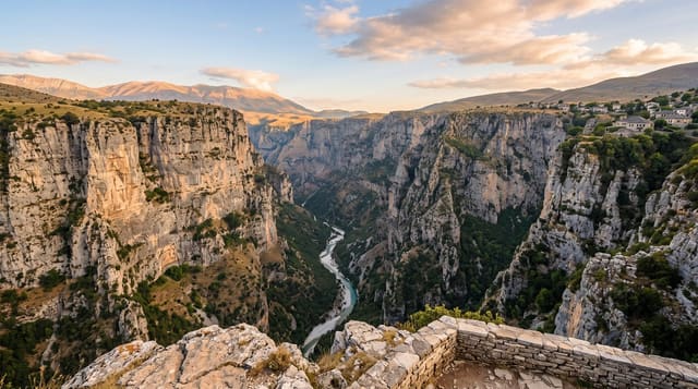
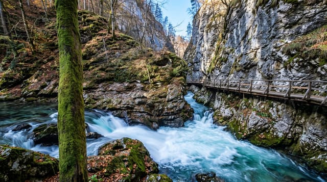
The Maling river has cut a slot around seventy metres wide and up to a hundred and twenty deep through soft rock outside Xingyi, and the particular character of the gorge comes from the tributaries: streams reaching the rim have nowhere to go but over, so dozens of waterfalls drop the full height of the walls, more after rain, plastering the rock with travertine and moss in reds and greens. A path is cut into the cliff partway down, running behind several of the falls so walkers pass through the spray. Rafting runs the lower river, and a bridge crosses high above the gorge.
The landscape
- The wall waterfalls - dozens of streams dropping the full cliff height.
- The cliff path - a cut ledge running behind several of the falls.
- The travertine colours - red and green mineral crusts on the rock.
- The high bridge - the crossing far above the gorge floor.
When to go
May to October when the falls run strongest, particularly after summer rain; the dry winter reduces many to trickles. The path is wet and slippery in any season and spray soaks walkers.
What to expect
Steps down and back up are numerous and steep, or a lift for a fee. The path is genuinely wet, so cameras and phones need protection. Falls are much reduced in the dry season.
Nearby
Wanfenglin lies nearby; Xingyi is north.
What to pack for Maling River Canyon
Chosen from what this place is for. Tap a kit for the full checklist.
- Broken-in walking shoes or boots - Grip and ankle support matter more than looks; never hike in brand-new boots. Find on Amazon
- Quick-dry clothing - Board shorts or synthetics that shrug off spray and dry fast. Find on Amazon
- Layers + a waterproof shell - Mountain weather turns fast; a packable rain jacket saves the day. Find on Amazon
- Secure water shoes or reef boots - Grip on slippery launches and protection on rocky shores. Find on Amazon
Some links on this page are Amazon affiliate links - if you buy through them we may earn a small commission at no extra cost to you.
All packing kitsPlan your trip
Where to start if Maling River Canyon is going on the list.
Booking links on this page are affiliate links - if you book through them we may earn a small commission at no extra cost to you. It never changes what we write about a place.
Opening times, ticket prices and seasonal closures change - check the official source before you go: official site.