Bolafjall
A platform hung over a 630 metre cliff above Bolungarvik, on ground that was a cold war radar station.
Updated 30 August 2026
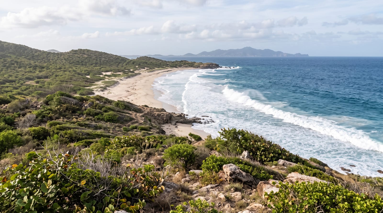
Bolafjall is the flat-topped mountain above Bolungarvik, ending in a cliff of about 630 metres straight into the sea, and the platform built out over that edge - opened in 2022 - lets visitors stand beyond the rock with the drop below and the whole of Isafjardardjup and the Hornstrandir peninsula in front. On a clear day the view runs to Greenland's direction across open water. The summit carries a radar station built during the cold war as part of the NATO early warning chain, still in place, which is the reason there is a road up a mountain of this shape at all.
Highlights
- A platform over a 630 metre cliff - built out beyond the edge in 2022.
- Isafjardardjup and Hornstrandir - the whole north-west laid out.
- A cold war radar station - the reason the road exists.
- Open Arctic water - nothing between the cliff and the north.
When to go
June to September; the road is snowbound much of the year. Two hours.
Good to know
The road up is steep gravel with drops and is not for nervous drivers or low cars. Cloud sits on the summit often and there is nothing to see then. Wind at the platform is severe. No facilities at the top.
Nearby
Bolungarvik and Osvor are below; Isafjordur is through the tunnel.
Key facts
Source: Wikidata, item Q4090641, read on 18 October 2026.
What to pack for Bolafjall
Chosen from what this place is for. Tap a kit for the full checklist.
- Broken-in walking shoes or boots - Grip and ankle support matter more than looks; never hike in brand-new boots. Find on Amazon
- Spare batteries + cards - Cold and long shoots drain power; never run out at the good light. Find on Amazon
- Warm base layers - Merino or synthetic against the skin - never cotton, which chills when damp. Find on Amazon
- Layers + a waterproof shell - Mountain weather turns fast; a packable rain jacket saves the day. Find on Amazon
Some links on this page are Amazon affiliate links - if you buy through them we may earn a small commission at no extra cost to you.
All packing kitsPlan your trip
Where to start if Bolafjall is going on the list.
Booking links on this page are affiliate links - if you book through them we may earn a small commission at no extra cost to you. It never changes what we write about a place.
Opening times, ticket prices and seasonal closures change - check the official source before you go: official site.