Urok Islands
A community-managed group in the northern Bijagós, of mangrove and mudflat.
Updated 14 October 2026
UNESCO World Heritage
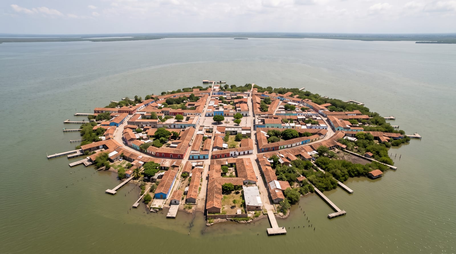
The Urok islands in the northern Bijagós, Formosa, Nago and Chediã, are managed as a community marine protected area under the authority of the islanders themselves, with fishing rules set and enforced locally and sacred areas kept closed entirely. The mangrove and mudflats around them hold huge numbers of migratory shorebirds. They sit within the World Heritage property inscribed in 2025. The management arrangement here was one of the first of its kind in West Africa and is often cited as a model. Around three thousand people live across the three islands.
What you'll find
- The community management - fishing rules set and enforced by the islanders.
- The mangrove and mudflat - the habitat the shorebirds depend on.
- The sacred areas - the zones kept closed under customary authority.
- The 2025 inscription - part of the Bijagós World Heritage property.
When to go
November to May is the dry season and the peak for migratory shorebirds. The rains from June make travel difficult. Tides govern boat access.
Before you go
Visits must be arranged with the community management and are not casual. Sacred areas are closed and the rules matter. Accommodation is basic village arrangements.
Nearby
Caravela is south, and Bissau is east.
What to pack for Urok Islands
Chosen from what this place is for. Tap a kit for the full checklist.
- Travel rod + reel - A packable multi-piece rod fits in a case and covers most holiday fishing. Find on Amazon
- Reef-safe sunscreen - High SPF that will not bleach the coral you are swimming over. Find on Amazon
- Modest clothing - Shoulders and knees covered - the single most common requirement. Find on Amazon
- A small tackle selection - Hooks, weights, line and a few lures or flies suited to local waters. Find on Amazon
Some links on this page are Amazon affiliate links - if you buy through them we may earn a small commission at no extra cost to you.
All packing kitsPlan your trip
Where to start if Urok Islands is going on the list.
Booking links on this page are affiliate links - if you book through them we may earn a small commission at no extra cost to you. It never changes what we write about a place.
Opening times, ticket prices and seasonal closures change - check the official source before you go: official site.