Middle Caicos
The largest island in the chain and one of the emptiest, with limestone cliffs, the territory's biggest cave system and a few hundred people.
Updated 21 October 2026
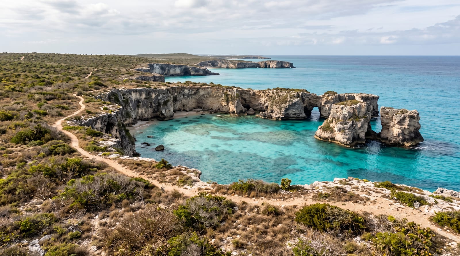
AI illustration
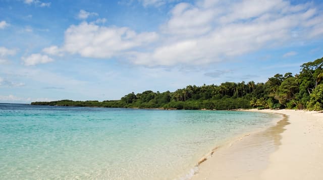
Middle Caicos, once called Grand Caicos, is the largest island in the territory by area, some 144 square kilometres, and holds a few hundred people, which gives some sense of how empty it is. The north coast is limestone cliff cut into coves and arches, with Mudjin Harbour the best known, and behind it lies the largest cave system in the Bahamian archipelago at Conch Bar, used by the Lucayans and later mined for guano; at least 38 Lucayan sites are known on the island, which may have been their main settlement, with as many as 4,000 people, and the ruins of the Haulover plantation lie in the east. The Crossing Place Trail, a coastal path that follows the route islanders once walked between settlements, runs along the clifftops. Bambarra Beach on the south side is a long shallow bank shore with almost nobody on it.
The landscape
- The Crossing Place Trail - a clifftop path along the north coast.
- Conch Bar Caves - the largest cave system in the archipelago.
- Bambarra Beach - a long empty shallow shore on the south side.
- The limestone coves - Mudjin Harbour and the arches along the north.
When to go
November to May is the driest. The Valentine's Day cup regatta at Bambarra in February is the island's main event. Getting here means a ferry and a causeway, so allow the best part of a day each way.
What to expect
There is almost nothing here: a handful of guesthouses, one or two places to eat that keep their own hours, and a shop. A car is essential and must be arranged in advance. The Crossing Place Trail is unmarked in places and exposed. Getting here from Providenciales is a half-day journey.
Nearby
North Caicos is across the causeway; East Caicos is uninhabited beyond.
Key facts
Source: Wikidata, item Q1475037, read on 18 October 2026.
What to pack for Middle Caicos
Chosen from what this place is for. Tap a kit for the full checklist.
- Broken-in walking shoes or boots - Grip and ankle support matter more than looks; never hike in brand-new boots. Find on Amazon
- Reef-safe sunscreen - High SPF that will not bleach the coral you are swimming over. Find on Amazon
- Head torch + spare batteries - Hands-free light is essential; caves are truly dark. Find on Amazon
- Layers + a waterproof shell - Mountain weather turns fast; a packable rain jacket saves the day. Find on Amazon
Some links on this page are Amazon affiliate links - if you buy through them we may earn a small commission at no extra cost to you.
All packing kitsPlan your trip
Where to start if Middle Caicos is going on the list.
Booking links on this page are affiliate links - if you book through them we may earn a small commission at no extra cost to you. It never changes what we write about a place.
Opening times, ticket prices and seasonal closures change - check the official source before you go: official site.