North Caicos
The greenest island in the chain, with more rain than the rest, a flamingo pond, and a plantation ruin in the bush.
Updated 21 October 2026
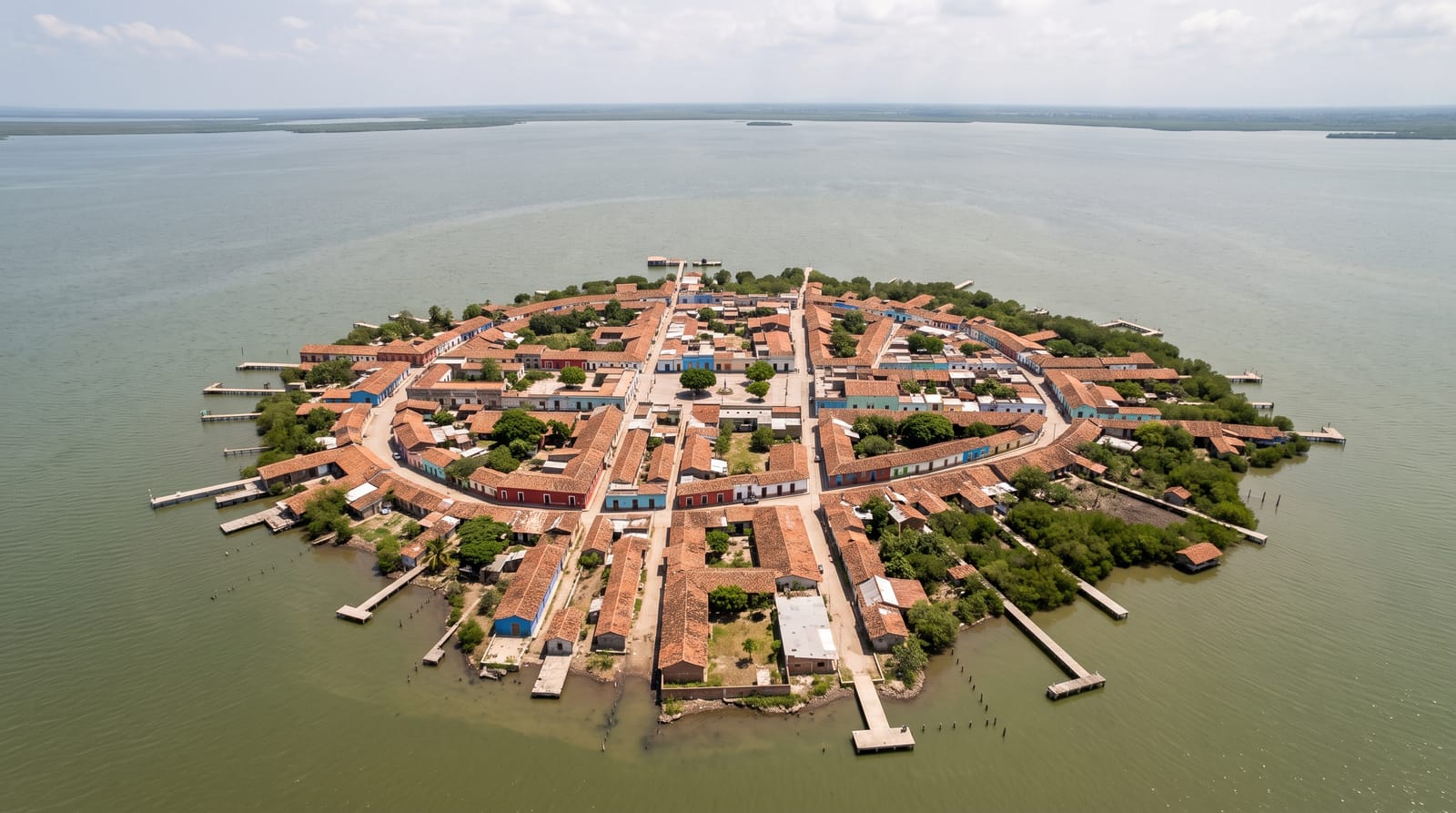
North Caicos gets noticeably more rain than the rest of the territory, which makes it the green island: the bush is thicker, there are working farms and fruit trees, and the settlements have gardens rather than scrub. Flamingo Pond, a long inland lake on the north side, holds several hundred birds and is watched from a roadside overlook. Wade's Green, in the bush inland, is the best preserved of the loyalist plantation ruins in the islands, with the great house, kitchen, walls and slave quarters still legible. Three Mary Cays, about twenty metres off the north-west shore, are an osprey nesting site with good snorkelling. The island, the second largest in the territory and home to some 1,300 people, most of them in Bottle Creek, is linked to Middle Caicos by a causeway of about 1.6 kilometres and lies 19 kilometres from Providenciales by ferry.
The landscape
- Flamingo Pond - several hundred birds, from a roadside overlook.
- Wade's Green plantation - the best preserved loyalist ruin in the islands.
- Three Mary Cays - ospreys and snorkelling off the north shore.
- The green bush - noticeably thicker than the drier islands.
When to go
November to May is the driest and calmest for the ferry crossing. Flamingos are on the pond year-round, in largest numbers in the winter. The ferry from Providenciales runs several times daily and is weather-dependent.
Practical notes
There is very little infrastructure: a handful of small guesthouses, few restaurants and limited shops. A hire car is essential and vehicles are scarce, so book ahead. The ferry is small and cancelled in wind. Hurricane damage from 2017 is still visible in places.
Nearby
Middle Caicos is joined by a causeway; Providenciales is 30 minutes by ferry.
Key facts
Source: Wikidata, item Q174861, read on 18 October 2026.
What to pack for North Caicos
Chosen from what this place is for. Tap a kit for the full checklist.
- Reef-safe sunscreen - High SPF that will not bleach the coral you are swimming over. Find on Amazon
- Your own mask + snorkel - A well-fitting mask is the single biggest comfort upgrade underwater. Find on Amazon
- Quick-dry towel - A microfibre towel packs small and dries in minutes. Find on Amazon
- Rash guard or thin wetsuit - Sun cover on the surface and warmth on longer or deeper dives. Find on Amazon
Some links on this page are Amazon affiliate links - if you buy through them we may earn a small commission at no extra cost to you.
All packing kitsPlan your trip
Where to start if North Caicos is going on the list.
Booking links on this page are affiliate links - if you book through them we may earn a small commission at no extra cost to you. It never changes what we write about a place.
Opening times, ticket prices and seasonal closures change - check the official source before you go: official site.